À voir autour
Voir plus
Ouvrir
Fermer
Consulter
Consulter
Consulter
Consulter
Consulter
Consulter
Consulter
Consulter
Consulter
Consulter
Consulter

Oups... Il semblerait que Cirkwi n'ait pas l'autorisation d'utiliser votre position.

Description
Carte
Notes et avis
À voir autour

FARO DA PORTA

FARO DA PORTA
Voir sur mobile
Partager

Description


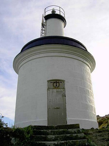
The area of faro da Porta, built in 1918, takes its name from the canal which is between the lighthouse island and the southern one and it´s also called O Freu da Porta. If we have a look from Punta Carnaval we can get a general idea of what is happening in the sea, in these rich valuable underwater ecosystems where there is a great biodiversity and constituted some of the reasons why the islands were declared Maritime-Terrestrial National Park of the Atlantic Islands in Galicia. The 86% of the surface of the park is maritime (the only one in Spain together with the one in Cabrera) that´s why the marine environment is so important.

So we will be able to explore the diverse seafloors, the meaning of “coastal zoning”, the meaning of “ardora”, the influence of tides or the presence of sea mammals.

Informations techniques

Lat, Lng
42.212323473673-8.9126730307494
Coordonnées copiées
Altitude
0 m
État incertain
Point d'intérêt mis à jour le 18/08/2016
Ce point d’intérêt n'a pas été mis à jour récemment, ce qui pourrait compromettre la fiabilité de ces informations. Nous vous recommandons de vous renseigner et de prendre toutes les précautions nécessaires. Si vous en êtes l'auteur, vérifiez vos informations.

Profil altimétrique

Auteur de la donnée

Notes et avis

À voir autour
Voir plus
Ouvrir
Fermer
Consulter
Consulter
Consulter
Consulter
Consulter
Consulter
Consulter
Consulter
Consulter
Consulter
Consulter
Prudence !
Nous n'avons pas d'information sur la difficulté de ce circuit. Il se pourrait que vous ayez quelques surprises en chemin. Avant de partir, n'hésitez pas à vous informer un peu plus et à prendre toutes les précautions nécessaires. Bonne balade ! 🌳🥾