Waarschuwing
Waarschuwingen
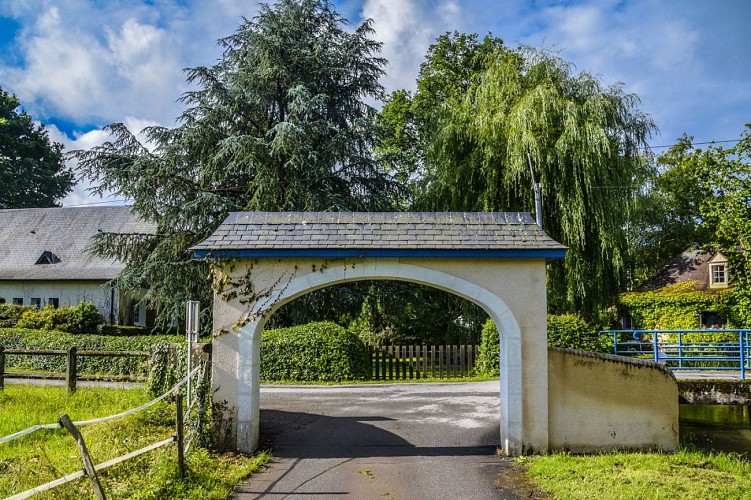
Rontignon - Sentier des Crêtes
Beschrijving
Als u zich op enkele kilometers van Pau aan het einde van de wereld wilt wanen, neem dan dit vertrek.
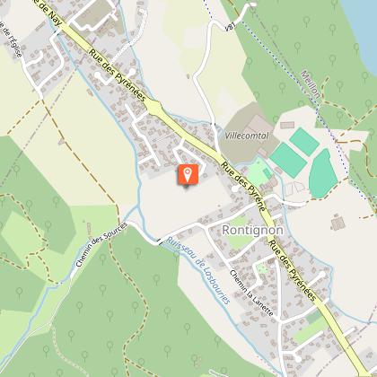
Vertrekpunt : Parking du stade - 1, rue des écoles - Rontignon
Gele voetgangersmarkeringen (nr. 8)
Technische informatie
Hoogteprofiel
Startpunt
Stappen
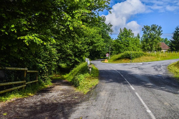
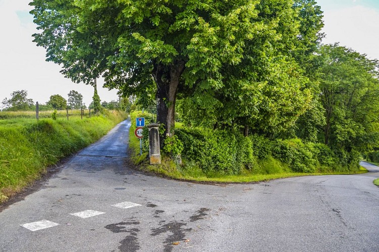
Punten van interesse


Aanvullende informatie
Contact
Telefoon : +33 5 59 27 27 08
Pau Pyrénées Tourisme
Website : www.rando-pau.com
Mail : contactrandos@tourismepau.fr
Balisage
Geel
pédestre
Typologie de l'itinéraire
Ronde
Equipements
Picknickplaats
Thèmes
Natuur
Gegevensauteur
