Waarschuwing
Waarschuwingen
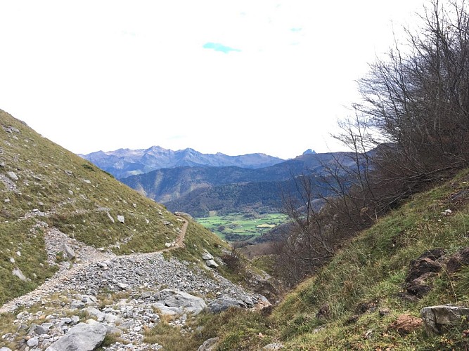
N°51 Cabane et Lac de Lhurs


Beschrijving
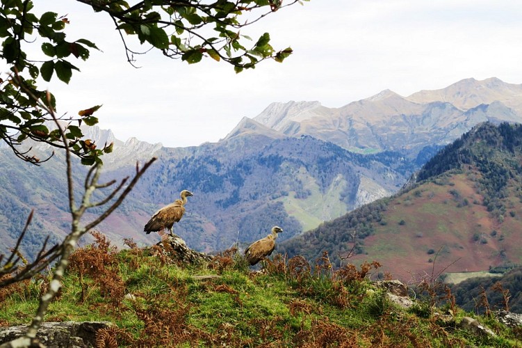
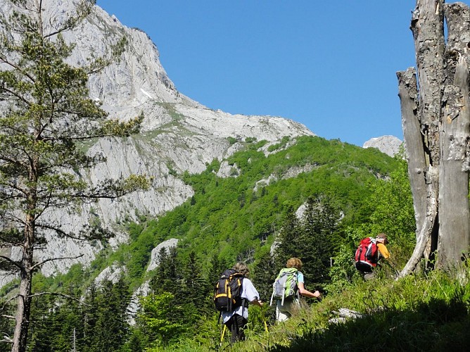
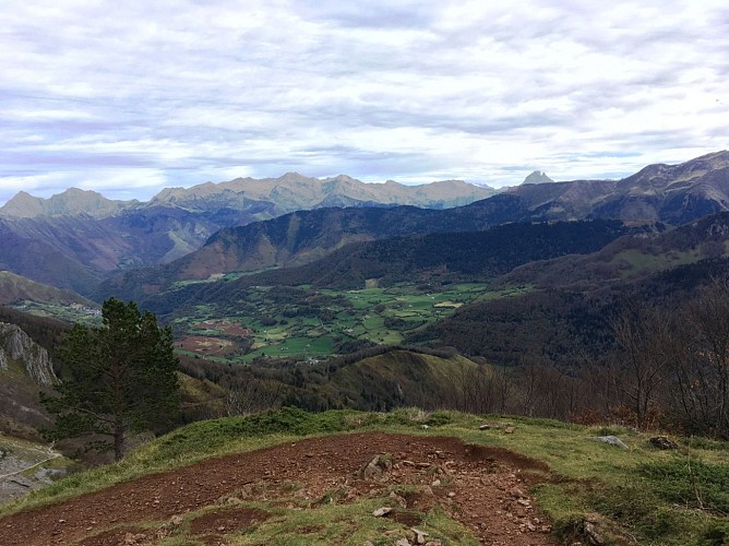
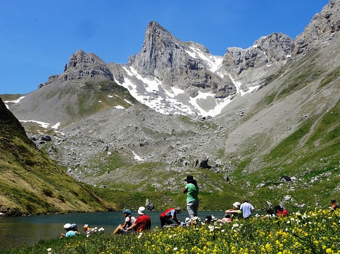
Een meer verborgen in een verloren keteldal, een groene omgeving te midden van een minerale wereld... Dit alles kan men zich niet voorstellen als men deze route begint. In het begin op een prachtig parcours dat met vlagen stijgt, vindt een weg plaats die al klimmend zeer verschillende sferen doorkruist. Het begint met veters in het kreupelhout en gaat over in het midden van een klif. Wees voorzichtig bij het passeren van de Piquet de Lhurs, verlaat het pad niet vanwege de steile helling. Daarna volgt een stuk zwarte rots, dan weer witte kalksteen, en wanneer je het niet verwacht verschijnt het meer met de hut erboven.
Technische informatie
Hoogteprofiel
Startpunt
Stappen
Punten van interesse


Aanvullende informatie
Balisage
Geel
Trait
Typologie de l'itinéraire
Heenreis-terugreis (PR)
Equipements
Picknickplaats
Waterbron
Thèmes
Natuur
Gegevensauteur
