Waarschuwing
Waarschuwingen
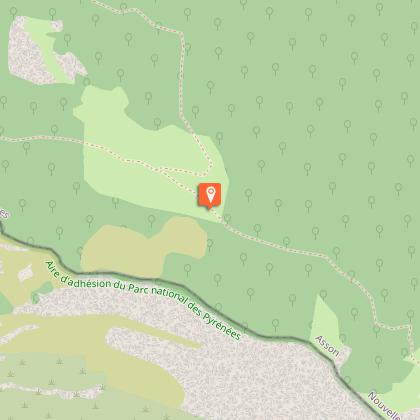
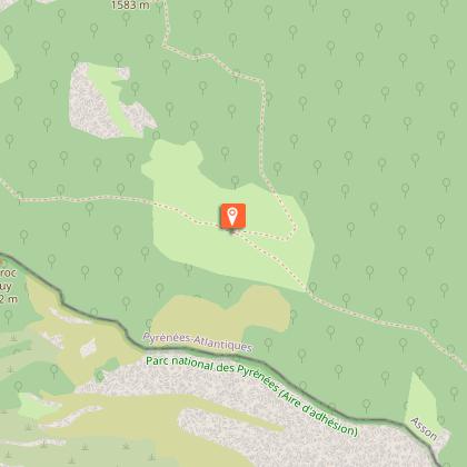
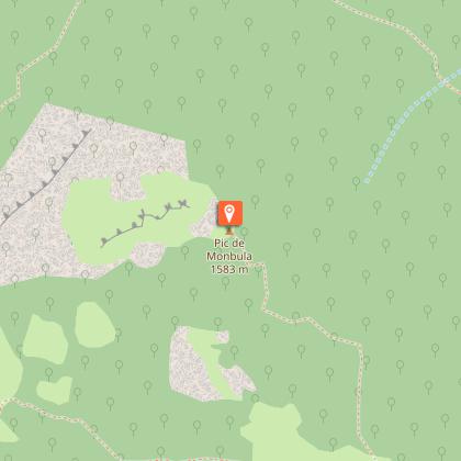
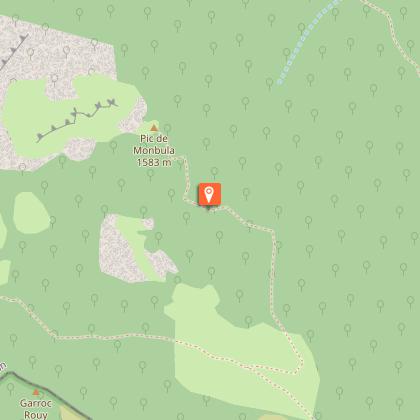
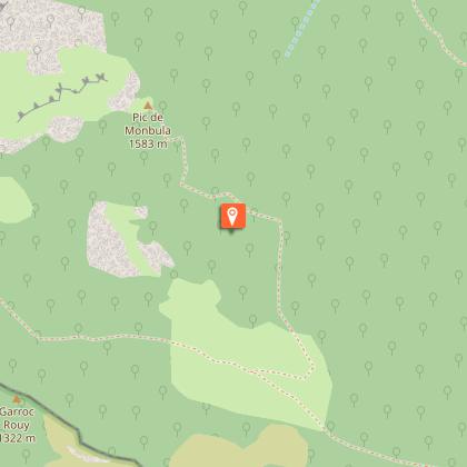
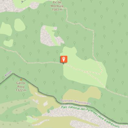
Le Belvédère du Monbula


Beschrijving
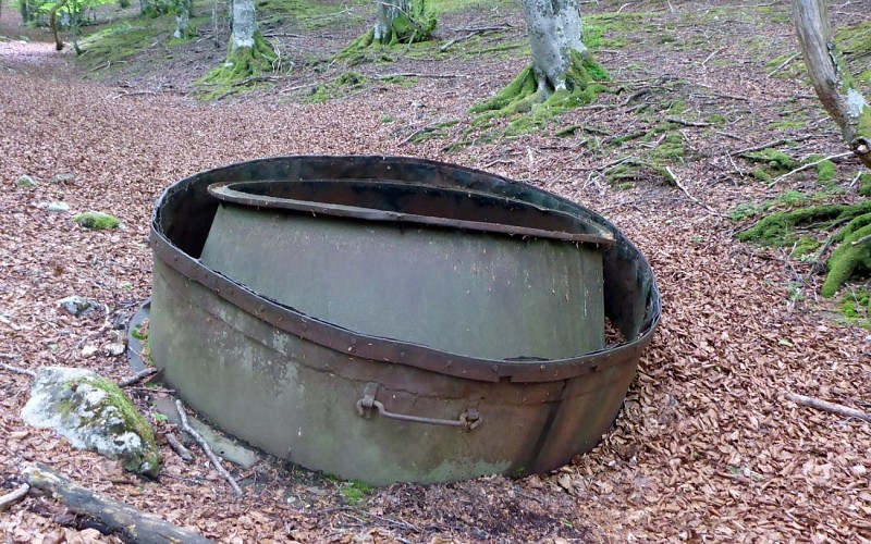
De smederijen van Ouzom gebruikten als grote verbruikers van houtskool enkele honderden hectaren bos per jaar. De houtskoolmakers werkten in het bos, zo dicht mogelijk bij de bron. Ze bouwden houten molenstenen die ze verbrandden door ze met aarde te bedekken, zodat ze zonder lucht verbrandden. In de 19e eeuw verschenen er afneembare metalen ovens waarmee ook teer kon worden teruggewonnen. In het geval van Monbula werden deze grote ketels met deksel in hun geheel op de ruggen van mannen in elkaar gezet en op houten stammen gerold. Sommige oldtimers herinneren zich de prestatie nog!
Technische informatie
Hoogteprofiel
Startpunt
Stappen

Aanvullende informatie
Contact
Telefoon : +33 5 59 13 94 99
Office de Tourisme Communautaire du Pays de Nay
Website : www.tourisme-bearn-paysdenay.com
Office de Tourisme Communautaire du Pays de Nay
Balisage
Geel
Trait
Typologie de l'itinéraire
Heenreis-terugreis (PR)
Thèmes
Natuur
Marques et labels
PR labellisé FFRandonnée
Gegevensauteur
