Waarschuwing
Waarschuwingen
VTT 5 Le chemin Henri IV
Beschrijving
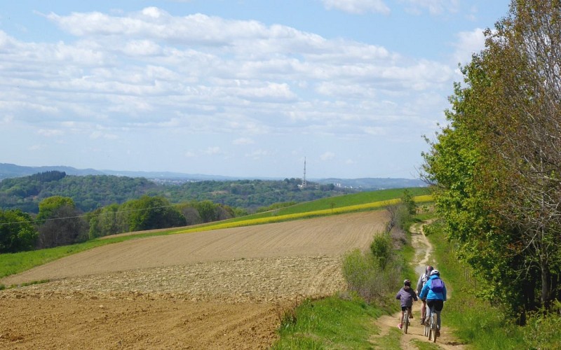
Deze weg zou de weg zijn die Hendrik IV nam vanuit Pau om te gaan jagen in de bossen van Lourdes. Het ligt op de hoogten, ver voor de goede koning en dateert uit de protohistorie. Hierdoor konden de moerassen van de vlakte van Nay en de Gave de Pau vermeden worden.
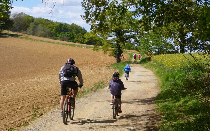
Chemin de Saint Jacques, tussen Lourdes, Pau en Lescar, van de dolmen van Peyre Duzets tot het Fort van César, langs de ruïnes van Gleise Pause, de etymologie en de overblijfselen vertellen het verhaal van een pad dat, lang voordat het naar een koning werd genoemd, een route tussen steden was. Later werden dorpen en wegen aangelegd op de vlakte, die met de verandering van het klimaat en het werk van de mensen opdroogde.
Technische informatie
Hoogteprofiel
Startpunt
Stappen
Aanvullende informatie
Contact
Telefoon : +33 5 59 13 94 99
Office de Tourisme Communautaire du Pays de Nay
Website : www.tourisme-bearn-paysdenay.com
Office de Tourisme Communautaire du Pays de Nay
Balisage
Wit en rood (GR®)
Chemin Henri IV
Typologie de l'itinéraire
Heenreis-terugreis (PR)
Pad voor een Grande Randonnée (GR®) lange wandeling
Animaux bienvenus ?
Oui
Thèmes
Historisch
Natuur
Marques et labels
GR® homologué FFRandonnée
Gegevensauteur
