Waarschuwing
Waarschuwingen
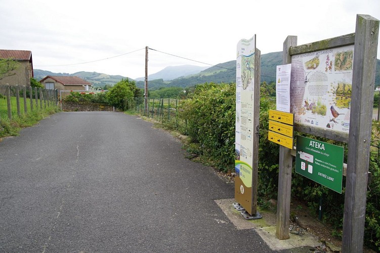
Atharri
Beschrijving
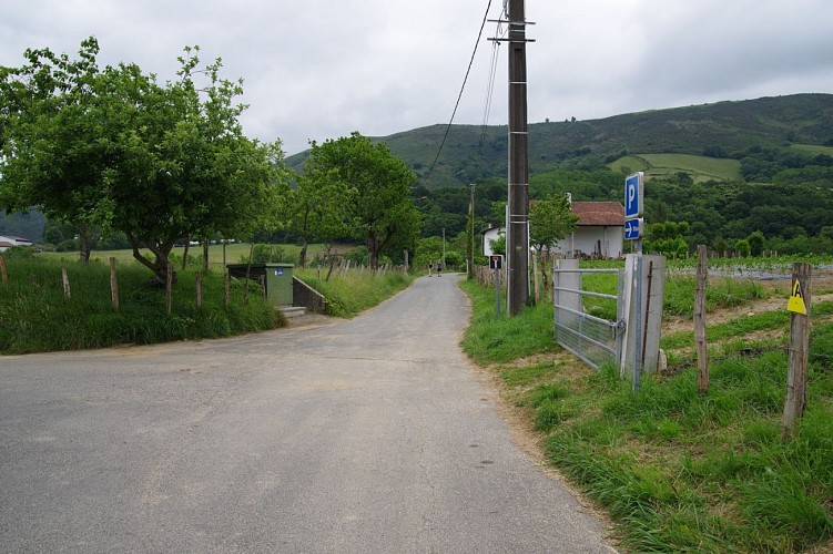
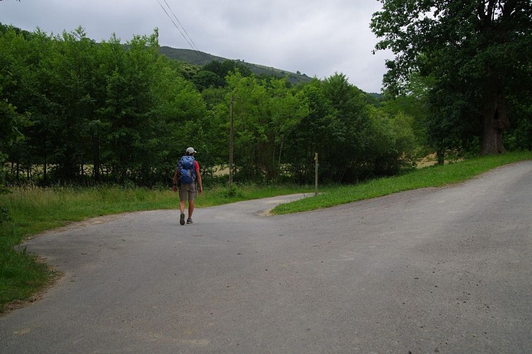
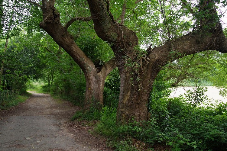
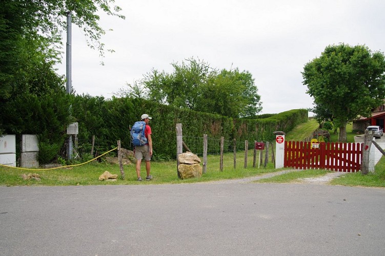
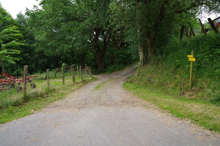
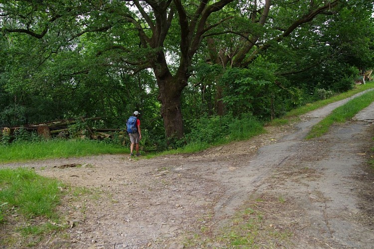
Itxassou, een typisch dorp, is het vertrekpunt van vele wandelroutes. Atharri is een goed compromis tussen lopen en wandelen. Vaak gemakkelijk, maar deze route herinnert u er een uur lang aan dat u in de bergen bent!
De geneugten zijn gevarieerd. U kunt even flaneren op het "strand" van de Pas de Roland, het ballet van de vale gieren gadeslaan en zelfs flink zweten tijdens de enige klim van de route. Welkom, u bent aangekomen in Baskenland!
Technische informatie
Hoogteprofiel
Startpunt
Stappen
Punten van interesse


Aanvullende informatie
Balisage
Geel
Trait - Balisage directionnel sur supports locaux
Typologie de l'itinéraire
Ronde
Durée moyenne de l'expérience
3 tot 4 uur
Thèmes
Natuur
Gegevensauteur
