Waarschuwing
Waarschuwingen
Type oefening
Wandel
Eenvoudig
Presentatie
Kaart
Stappen
Beoordelingen en recensies
Zie rondom
Vallée de la Haine
IGN kaarten
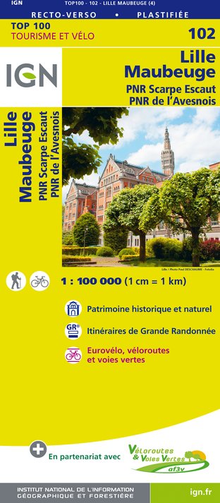
102 LILLE MAUBEUGE PNR SCARPE ESCAUT PNR DE L'AVESNOIS
Uitgever : IGN
Verzameling : TOP 100
Ladder : 1:100 000
8.40€

D59-62 NORD PAS-DE-CALAIS
Uitgever : IGN
Verzameling : CARTES DÉPARTEMENTALES IGN
Ladder : 1:150 000
5.90€

NR05 GRAND EST RECTO/VERSO MASSIF DES VOSGES ALSACE LORRAINE
Uitgever : IGN
Verzameling : CARTES RÉGIONALES IGN
Ladder : 1:250 000
6.80€

NR04 - GRAND EST RECTO/VERSO ARDENNE CHAMPAGNE
Uitgever : IGN
Verzameling : CARTES RÉGIONALES IGN
Ladder : 1:250 000
6.80€

NR01 HAUTS-DE-FRANCE
Uitgever : IGN
Verzameling : CARTES RÉGIONALES IGN
Ladder : 1:250 000
6.80€

PAYS-BAS BELGIQUE LUXEMBOURG
Uitgever : IGN
Verzameling : DÉCOUVERTE DES PAYS DU MONDE IGN
Ladder : 1:300 000
7.00€

EUROPE
Uitgever : IGN
Verzameling : DÉCOUVERTE DES PAYS DU MONDE IGN
Ladder : 1:2 500 000
7.00€
Technische informatie
Wandel
Moeilijkheid
Eenvoudig
Afstand
50 km
Type oefening
Wandel
Eenvoudig
Meer informatie tonen
Hoogteprofiel
Startpunt
251
Chaussée de Mons
,
7070
Gottignies
Lat : 50.47494Lng : 4.06844

Aanvullende informatie
Signalétique (NL)
Geen enkele bewegwijzering
Gegevensauteur

voorgesteld door
Centrissime - Tourisme au Pays du Centre
Beoordelingen en recensies
Om te zien rondom