Waarschuwing
Waarschuwingen
Afdaling van de Col du Galibier


IGN kaarten


Beschrijving
Heel mooie initiatie afdaling op de oude piste van de col du Galibier recht tegenover La Meije die een ongelooflijk spektakel biedt. Ze zijn er allemaal : de Glacier de l'Homme, de Glacier du Fauteuil, de top van de Gaspard, de top van de Doigt de Dieu...
Parcours uit de gids "VTT en Oisans" (Oisans Tourisme)
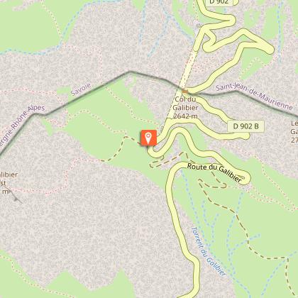
Vertrek : Col du Galibier 2546 m (aan het monument van Desgranges)
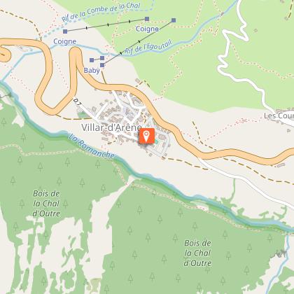
Aankomst : Villar d'Arène 1640 m
Duur : 1 uur 30 minuten
Afstand : 15 km
Hoogste punt : 2543 m
Laagste punt : 1640 m
Positief hoogteverschil : 170 m
Negatief hoogteverschil : -1059 m
Technisch niveau : 1/4
Uithoudingsniveau : 2/4
Kaart : Top 25 Meije Pelvoux 3436 ET en Valloire 3435 ET
PARCOURS
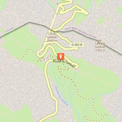
Vertrek aan het monument van Desgranges en iets lager langs een vervallen huis rijden. De weg begint vlak achter het huis. Steek de baan over en neem aan de andere kant " Le Chemin du Galibier". Daal rustig de bochten af tot aan de Route du Col du Lautaret (D1091).
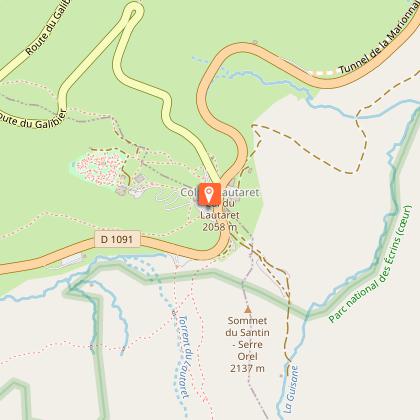
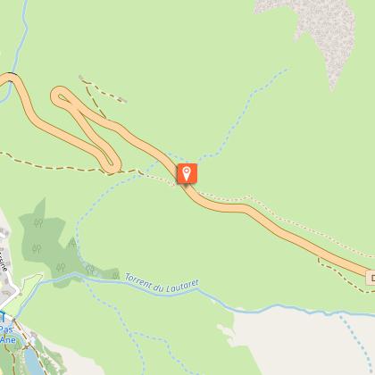
Steek de baan over, en neem de tegenovergelegen weg om de col du Lautaret te bereiken (2 km).
Op de col, de baan oversteken en langs de bar/restaurant "La Ferme" rijden om de GR50 te nemen. Vanaf hier is de weg bewegwijzerd (FFC n°13).
De weg kronkelt tussen een veengebied in het midden van de alpenweiden.
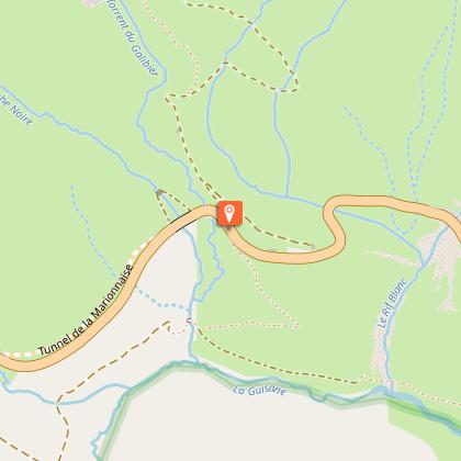
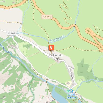
Na 2,5 km komen we terug op de Route du Col du Lautaret (D1091). Oversteken en recht tegenover de weg nemen die afdaalt tot het gehucht Pied du Col.
In de "Pied du Col", rechts de baan op draaien, 150 m verder fietsen en terug naar rechts de weg nemen die u tot in Villar d'Arène brengt.
Technische informatie
Hoogteprofiel
Startpunt
Stappen
Aanvullende informatie
Environments
In de bergen
Updated by
Office de tourisme des Hautes Vallées - La Grave - La Clarée - L'Izoard - 15/10/2025
www.hautesvallees.com/la-grave/
Report a problem
Open period
Van 01/06 tot en met 31/10.
Contact
Phone : 04 76 79 90 05
Email : info@oisans.com
Website : https://www.bike-oisans.com
Location complements
Laat 1 voertuig achter in Villar-d'Arène en een ander voertuig op de col du Galibier. U kunt natuurlijk ook vanuit Villar-d'Arène naar de col du Galibier klimmen. Het is moeilijk om aan deze legende te weerstaan !
Voeg 13 km toe, 1015 m hoogteverschil en een hellingsgraad van 6,9% vanaf de Lautaret...
Gegevensauteur
