Waarschuwing
Waarschuwingen
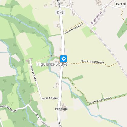
Higuères-Souye : entre Luy et Souye


Beschrijving
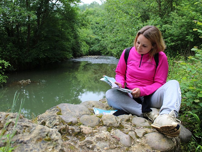
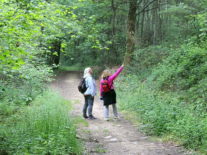
Deze zeer gevarieerde wandeling spreekt zowel fietsers als wandelaars aan. De delen met kreupelhout en de paden zijn zeer aangenaam. Het reliëf rond de Luy de France en de Souye is goed gemarkeerd, wat deze route een sportief aspect geeft.
Technische informatie
Hoogteprofiel
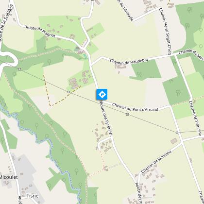
Startpunt
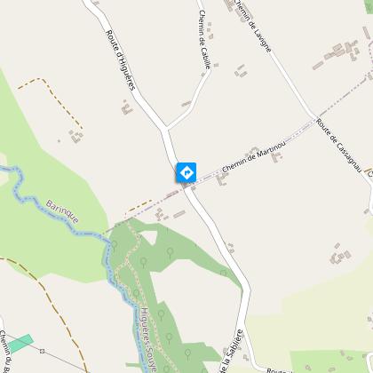
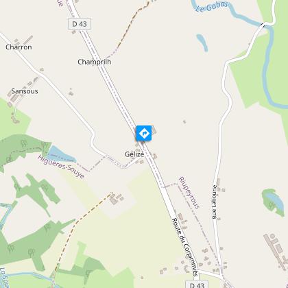
Stappen
Aanvullende informatie
Contact
Telefoon : +33 5 59 33 62 25
Syndicat tourisme Coteaux Béarn Madiran (antenne Morlaàs)
Website : www.bearnmadiran-tourisme.fr/
Mail : contact@bearnmadiran-tourisme.fr
Balisage
Geel
Typologie de l'itinéraire
Ronde
Thèmes
Natuur
Durée moyenne de l'expérience
2 tot 3 uur
Equipements
Picknickplaats
Animaux bienvenus ?
Oui
Gegevensauteur
