Waarschuwing
Waarschuwingen
Rondrit via het Matheysin plateau


IGN kaarten


Beschrijving
Deze lange rondrit is zeer in trek bij de lokale wielrenners. We verlaten Oisans via de col d'Ornon en bereiken Valbonnais gevolgd door het Matheysin plateau. De beklimming tot in La Morte gebeurt via een mooie, rustige weg.
Fietsparcours nr 11 uit de gids "Cyclo en Oisans" (Oisans Tourisme)
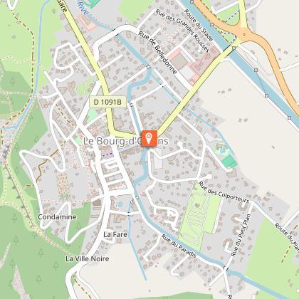
Vertrek / Aankomst (lus) : Bourg d'Oisans 720 m
Duur : 5 u 30 min
Afstand : 100 km
Max. hoogte : 1380 m
Min. hoogte : 360 m
Hoogteverschil : 2010 m
Max. hellingsgraad : 10%
Kaart : Michelin kaart van het departement Isère, Savoie n° 333
PARCOURS
In Bourg d'Oisans neemt u de D1091 richting Grenoble.
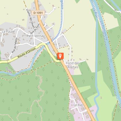
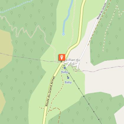
Na 2 km neemt u links de D526 richting "Valbonnais - La Mure - Ornon". Vanaf de col daalt u af richting Valbonnais.
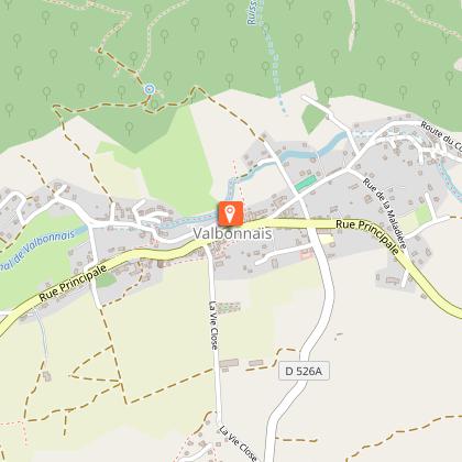
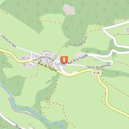
In Valbonnais neemt u rechts de D26 richting La Mure.
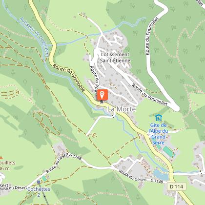
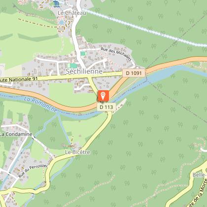
In Sievoz neemt u rechts de D114a richting La Morte (skistation van Alpe du Grand Serre). Aangekomen in Sechilienne (opgepast in het afdalen), neemt u rechts de D1091 om naar Bourg d'Oisans terug te keren.
VARIANTE Via Laffrey
In Sievoz neemt u de D26 tot in La Mure.
Na La Mure volgt u de D115c en doorkruist u St Honoré, Fugière, Villard Saint Christophe en Cholonge alvorens af te dalen tot Laffrey.
Bij het buitenrijden van Laffrey, neemt u rechts de D113 richting Saint Barthélémy de Séchilienne. Aangekomen in Séchilienne (opgepast in het afdalen), neemt u rechts de D1091 om naar Bourg d'Oisans terug te keren.
---
Afstand : 97 km
Duur : 5 uur
Hoogteverschil : 1836 m
Technische informatie
Hoogteprofiel
Startpunt
Stappen
Aanvullende informatie
Environments
Uitzicht op bergen
In de bergen
Updated by
Oisans Tourisme - 15/10/2025
www.bike-oisans.com
Report a problem
Contact
Phone : 04 76 80 71 60
Email : info-allemond@oisans.com
Website : https://www.bike-oisans.com
Topo guides and map references
Topo guides references :
Parcours nr 11 uit de gids "Cyclo en Oisans" (Oisans Tourisme)
Map references :
Michelin kaart van het departement Isère, Savoie n° 333
Gegevensauteur
