Waarschuwing
Waarschuwingen
Type oefening
Wandel
Zeer eenvoudig
1h
Presentatie
Kaart
Stappen
Punten van interesse
Cirkwi's opdracht
Beoordelingen en recensies
Zie rondom
Wandeling in Moisenay
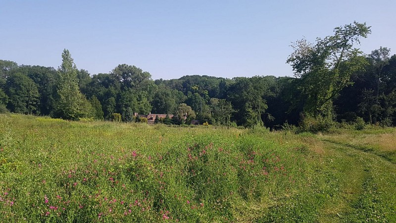
Credit : CCBRC
De Cirkwi brief
Ontdek Moisenay: Een Reis door Erfgoed en Natuur
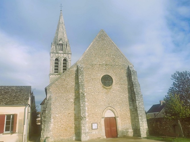
Stel je voor dat je rondwandelt in een pittoresk dorpje, verscholen in het serene Val d'Ancœur, grenzend aan het majestueuze Chateau de Vaux-le-Vicomte en in de buurt van Blandy-les-Tours. Dit is Moisenay, een dorp dat zijn landelijke essentie briljant heeft behouden en de kans biedt om in het hart van een idyllische vallei te duiken. Deze route, ontwikkeld door de Communauté de Communes Brie des Rivières et Châteaux, nodigt je uit om het adembenemende platteland, historische bruggen, oude molens en een rijk erfgoed te verkennen dat wordt belichaamd door de architectuur uit de 12e en 13e eeuw van de Église Saint-Martin. Een samensmelting van historische pracht en natuurlijke schoonheid wacht om je zintuigen te inspireren.
Belangrijke Inzichten in de Route
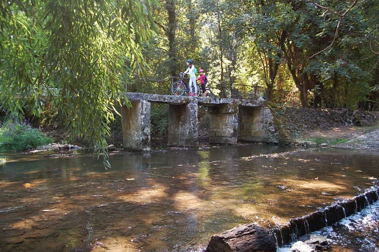
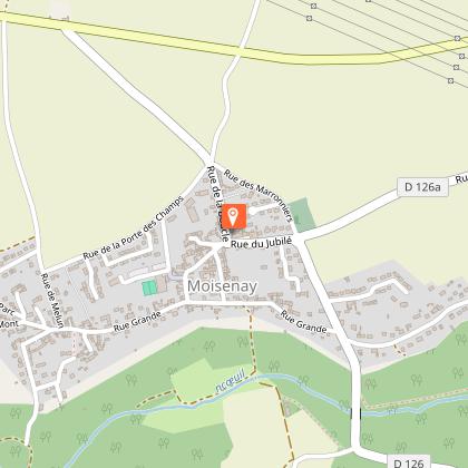
Met een afstand van 3,3 kilometer en een bescheiden hoogteverschil tussen 53 en 86 meter, is deze wandeling toegankelijk voor liefhebbers van alle niveaus. De route begint en eindigt bij de parkeerplaats van het sportcomplex, wat zorgt voor gemak voor bezoekers. Het pad kronkelt door het dorp en doorkruist historische bezienswaardigheden zoals de Moulin de Pouilly en de Pont de Fer, zonder steile beklimmingen, waardoor het een ideale keuze is voor een ontspannen verkenning. De route is niet gemarkeerd, dus avonturiers wordt aangeraden om een kaart mee te nemen of digitale navigatiehulpmiddelen te gebruiken voor een naadloze ervaring.
Seizoentips voor Ontdekkingsreizigers
Ongeacht het seizoen biedt Moisenay een betoverende ervaring. Lente en herfst, met hun milde weer, zijn perfect om te genieten van de bloeiende flora en de knisperende gouden kleuren van de bladeren. In de zomer biedt de schaduw van imposante bomen verkoeling, waardoor het een ideale tijd is voor ontspanning. Omdat de route door velden en bossen gaat, is gepast schoeisel het hele jaar door essentieel om comfortabel door het terrein te navigeren. Controleer altijd het weerbericht van tevoren om onverwachte omstandigheden te vermijden en een heerlijk bezoek te garanderen.
Moisenay: Een Cultureel en Historisch Juweel
Moisenay, gelegen in de regio Île-de-France, is een getuige van het landelijke erfgoed en de geschiedenis van Frankrijk. Vanaf de oprichting heeft het eeuwen van culturele evolutie meegemaakt, waarbij de Église Saint-Martin het architectonisch vakmanschap en het spirituele leven van de Middeleeuwen in Seine-et-Marne symboliseert. Dit dorp, nabij historische locaties zoals het Chateau de Vaux-le-Vicomte, serveert als een levend museum en nodigt ontdekkingsreizigers uit om terug in de tijd te gaan en het rijke tapijt van de Franse plattelandscultuur, de mensen en hun verbinding met het land te ervaren.
Klimaatgids voor Bezoekers van Moisenay
Genietend van een gematigd klimaat, biedt Moisenay elk seizoen unieke charmes voor bezoekers. Het weer in de regio is over het algemeen mild, met warme zomers en koele winters, waardoor lente tot en met herfst de ideale tijd is voor buitenactiviteiten. Om optimaal te genieten van de groene landschappen en historische sites, is een bezoek tussen april en oktober raadzaam. Gedurende deze maanden zijn de weersomstandigheden het meest geschikt om te wandelen, wat zorgt voor een comfortabel en verrijkend buitenavontuur in Moisenay.
Stel je voor dat je rondwandelt in een pittoresk dorpje, verscholen in het serene Val d'Ancœur, grenzend aan het majestueuze Chateau de Vaux-le-Vicomte en in de buurt van Blandy-les-Tours. Dit is Moisenay, een dorp dat zijn landelijke essentie briljant heeft behouden en de kans biedt om in het hart van een idyllische vallei te duiken. Deze route, ontwikkeld door de Communauté de Communes Brie des Rivières et Châteaux, nodigt je uit om het adembenemende platteland, historische bruggen, oude molens en een rijk erfgoed te verkennen dat wordt belichaamd door de architectuur uit de 12e en 13e eeuw van de Église Saint-Martin. Een samensmelting van historische pracht en natuurlijke schoonheid wacht om je zintuigen te inspireren.
Belangrijke Inzichten in de Route
Met een afstand van 3,3 kilometer en een bescheiden hoogteverschil tussen 53 en 86 meter, is deze wandeling toegankelijk voor liefhebbers van alle niveaus. De route begint en eindigt bij de parkeerplaats van het sportcomplex, wat zorgt voor gemak voor bezoekers. Het pad kronkelt door het dorp en doorkruist historische bezienswaardigheden zoals de Moulin de Pouilly en de Pont de Fer, zonder steile beklimmingen, waardoor het een ideale keuze is voor een ontspannen verkenning. De route is niet gemarkeerd, dus avonturiers wordt aangeraden om een kaart mee te nemen of digitale navigatiehulpmiddelen te gebruiken voor een naadloze ervaring.
Seizoentips voor Ontdekkingsreizigers
Ongeacht het seizoen biedt Moisenay een betoverende ervaring. Lente en herfst, met hun milde weer, zijn perfect om te genieten van de bloeiende flora en de knisperende gouden kleuren van de bladeren. In de zomer biedt de schaduw van imposante bomen verkoeling, waardoor het een ideale tijd is voor ontspanning. Omdat de route door velden en bossen gaat, is gepast schoeisel het hele jaar door essentieel om comfortabel door het terrein te navigeren. Controleer altijd het weerbericht van tevoren om onverwachte omstandigheden te vermijden en een heerlijk bezoek te garanderen.
Moisenay: Een Cultureel en Historisch Juweel
Moisenay, gelegen in de regio Île-de-France, is een getuige van het landelijke erfgoed en de geschiedenis van Frankrijk. Vanaf de oprichting heeft het eeuwen van culturele evolutie meegemaakt, waarbij de Église Saint-Martin het architectonisch vakmanschap en het spirituele leven van de Middeleeuwen in Seine-et-Marne symboliseert. Dit dorp, nabij historische locaties zoals het Chateau de Vaux-le-Vicomte, serveert als een levend museum en nodigt ontdekkingsreizigers uit om terug in de tijd te gaan en het rijke tapijt van de Franse plattelandscultuur, de mensen en hun verbinding met het land te ervaren.
Klimaatgids voor Bezoekers van Moisenay
Genietend van een gematigd klimaat, biedt Moisenay elk seizoen unieke charmes voor bezoekers. Het weer in de regio is over het algemeen mild, met warme zomers en koele winters, waardoor lente tot en met herfst de ideale tijd is voor buitenactiviteiten. Om optimaal te genieten van de groene landschappen en historische sites, is een bezoek tussen april en oktober raadzaam. Gedurende deze maanden zijn de weersomstandigheden het meest geschikt om te wandelen, wat zorgt voor een comfortabel en verrijkend buitenavontuur in Moisenay.
Automatisch gegenereerd.
Technische informatie
Wandel
Moeilijkheid
Zeer eenvoudig
Duur
1h
Afstand
3.3 km
Type oefening
Wandel
Zeer eenvoudig
1h
Meer informatie tonen
Hoogteprofiel
Startpunt
9
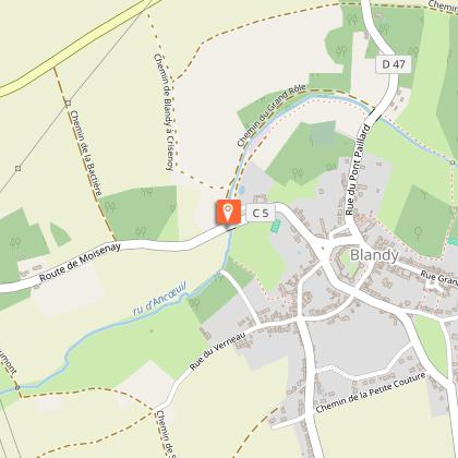
Parking du complexe sportif - rue de la Grange
,
77950
Moisenay
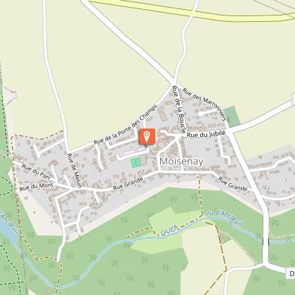
Lat : 48.562491Lng : 2.733473
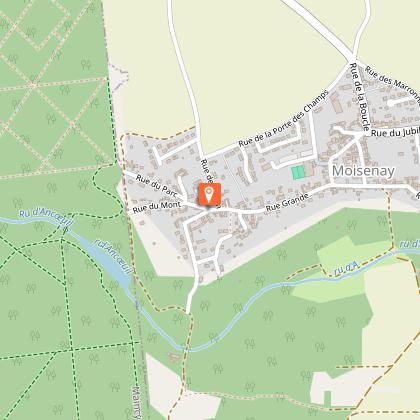
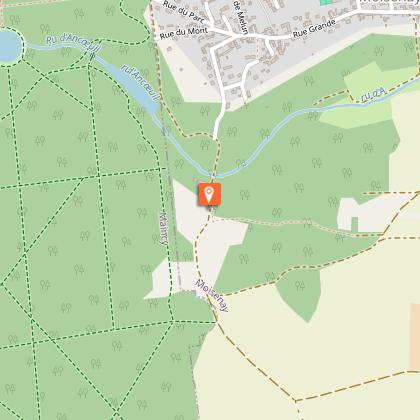
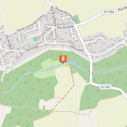
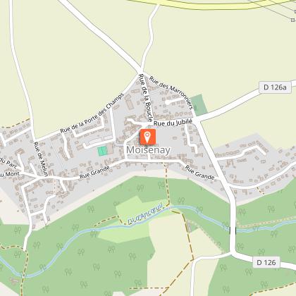
Punten van interesse

Gegevensauteur

voorgesteld door
Communauté de Communes Brie des Rivières et Châteaux
1 rue des Petits Champs 77820 Le Châtelet-en-Brie France
Beoordelingen en recensies
Om te zien rondom