Waarschuwing
Waarschuwingen
N°14 Barétous - Tête Sauvage


Beschrijving
Deze wandeling is in de winter niet mogelijk vanwege de sneeuw.
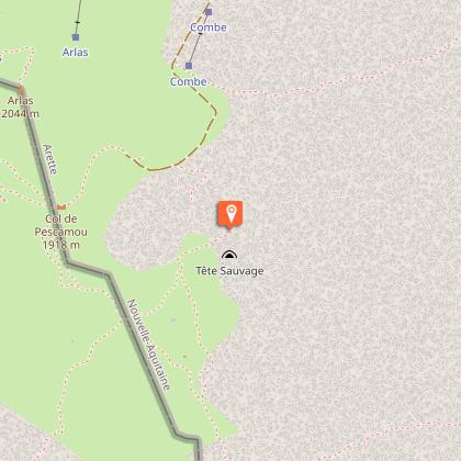
Welkom in het betoverde land! Als de landschappen veranderen, veranderen ook de stemmingen. Vanaf de Pierre Saint-Martin worden de bergweiden gesust door het gerinkel van klarines. De oude kaaimannen hebben de tand des tijds doorstaan en getuigen van de hardheid van het leven in de bergen. Na de Col de la Pierre Saint-Martin, in het zuiden, kleuren pijnbomen en bloementapijten het uitzicht voor de minerale Arres d'Anie. Met één voet in Spanje zie je ver weg en krijg je zin om te gaan wandelen! Op de achtergrond staat de Pic d'Anie trots en geeft een indruk van ontoegankelijkheid, beschermd door de Arres. Het pad loopt vlak langs de beroemde kloof Tête Sauvage, die de Verna-grot verbindt, 9 kilometer en meer dan 835 meter naar beneden!
Technische informatie
Hoogteprofiel
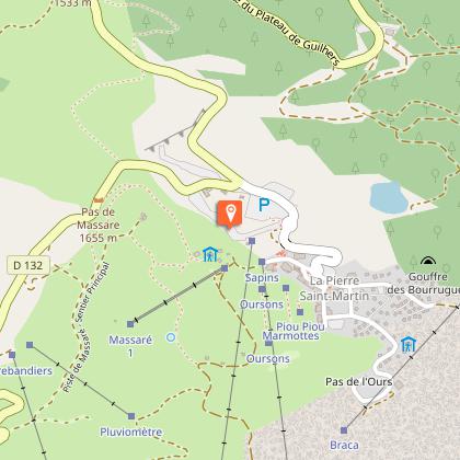
Startpunt
Stappen
Punten van interesse


Aanvullende informatie
Balisage
Geel
Trait
Typologie de l'itinéraire
Ronde
Equipements
Waterbron
Sanitaires
Thèmes
Natuur
Gegevensauteur
