Waarschuwing
Waarschuwingen
Type oefening
Wandel
Gemiddeld
2h50mn
Presentatie
Beschrijving
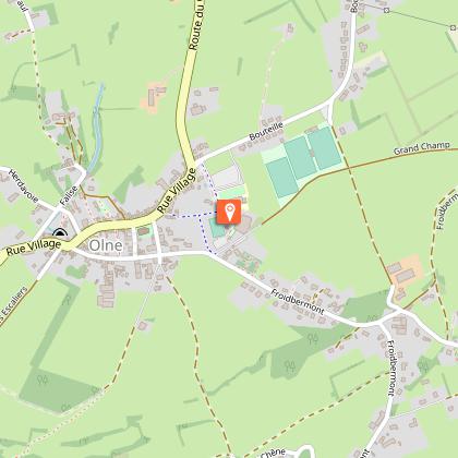
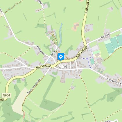
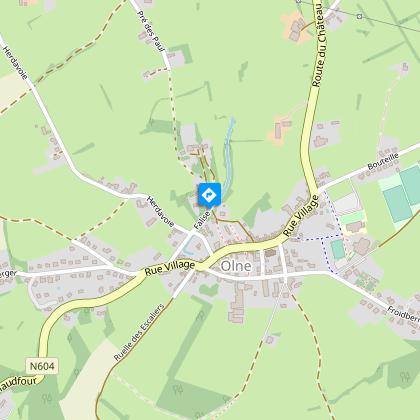
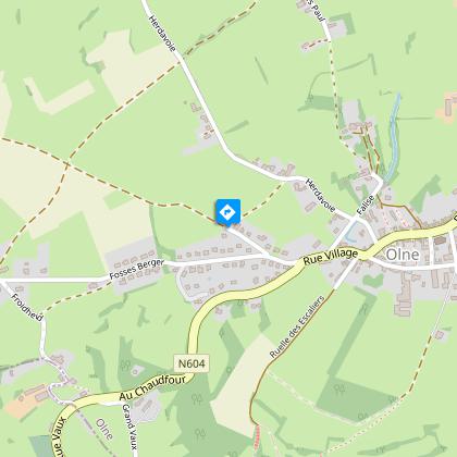
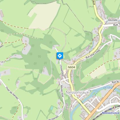
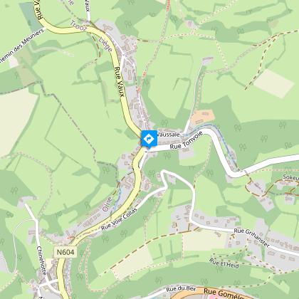
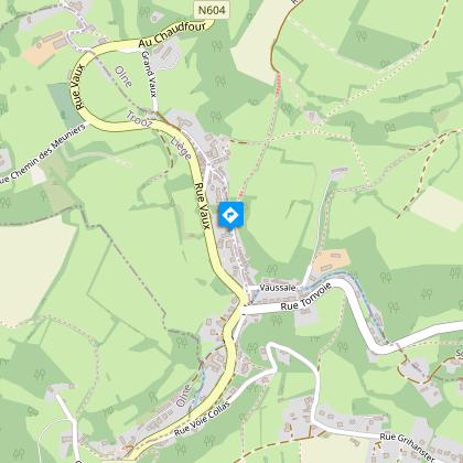
Kaart
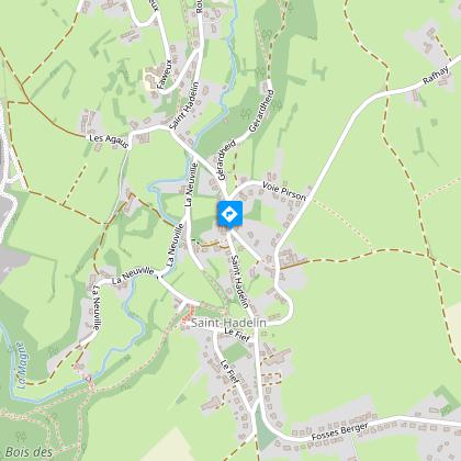
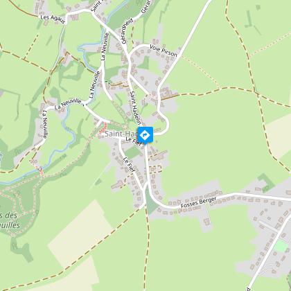
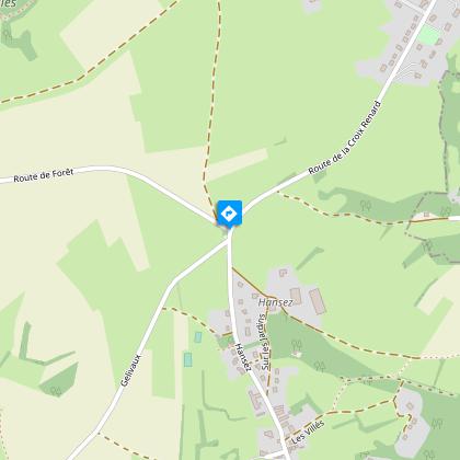
Stappen
Beoordelingen en recensies
Zie rondom
Wandeling : Olne : Du Plateau à la Vallée


IGN kaarten


Beschrijving
Doorkruis de hagen, ontdek Saint-Hadelin en de vallei van de Vesder.
Volg de bewegwijzering "Groen kruis" (zie foto hierboven). Details van de wandeling op https://www.visorando.com/randonnee-du-plateau-a-la-vallee-par-olne-saint-ha/
Vind de route op de kaart van wandelingen in de gemeente Olne: https://www.paysdeherve.be/produit/olne-11-promenades-balisees
Technische informatie
Wandel
Moeilijkheid
Gemiddeld
Duur
2h50mn
Afstand
8.1 km
Type oefening
Wandel
Gemiddeld
2h50mn
Meer informatie tonen
Hoogteprofiel
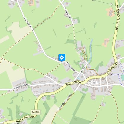
Startpunt
Chemin des Écoliers
,
4877
Olne
Lat : 50.59056Lng : 5.75287
Stappen
Aanvullende informatie
Signalétique (NL)
Voetganger - Kruis - Groen
Gegevensauteur

voorgesteld door
Maison du Tourisme du Pays de Herve
Beoordelingen en recensies
Om te zien rondom