Waarschuwing
Waarschuwingen
BOUCLE SAN MAMILIANU - SCOLCA

Beschrijving
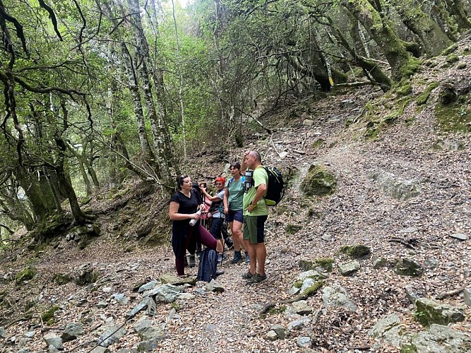
Calling all hikers looking for a challenge! The Scolca trail is the most demanding route offered by the Marana-Golo Tourist Office, but also one of the wildest. It winds through the woods of Mala Notte, a dense forest of downy holm oaks, offering shady spots that are perfect for taking a break amidst nature. This circular walk allows you to discover both the charm of the village and the richness of its wooded surroundings.
Scolca Trail:
Start from San Mamilianu Church: 42.530542, 9.363545 (Alt. 590m)
Duration of the walk (excluding breaks): 3 hours
Distance covered: 5.5 km
Elevation gain: 390 m / Elevation loss: 390 m
Difficulty: Moderate
Please note: It is best to park at the entrance to the village and walk to the church.
1) Right from the start, you’ll notice the campanile (separate bell tower) of the Church of San Mamilianu, built in the 17th century.
Take the road opposite (passing a fountain on your left) leading up to the top of the village for 150 metres.
2) Sign marking the start of the ‘Giru di San Mamilianu’. Follow the path through a beautiful chestnut grove, then enter
the dense Malanotte wood (the ‘cursed night’) to reach the crossroads by the fountain (now dry) 2.2 km on. This spot has a distinctive and eerie atmosphere.
3) At the crossroads, you will find two signposts: the one on the right leads to ‘Bocca a Foata’; the one on the left points towards ‘Chjassu di San Mamilianu’, which you should follow. Take care whilst walking through the forest. Note the presence of ‘aghje’ (wheat-threshing areas) and charcoal kilns (used for the traditional production of charcoal).
4) You’ll reach a small plateau, then come to the junction leading to the hamlet of Cammare.
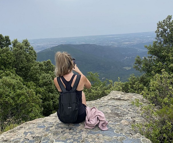
5) 100 metres further on, to the right, there is a magnificent viewpoint (elevation 922 metres) overlooking the entire mountain range, the valley and its villages. Take a well-deserved break…
6) Retrace your steps back to point 4. Continue for about 30 metres.
7) Look out for the start of the descent on your left.
Do not venture onto unmarked paths. During the descent, the path crosses a forest track several times; you’ll need to pay close attention once again to stay on the path. You’ll come across the ruins at a place called Pastricciola and its ‘lenze’ (terraced gardens).
Continue downhill for 1.5 km to reach the path leading to the cross overlooking the village of
Scolca. The view over the valley and the surrounding villages is breathtaking.
8) Leave the main path to head for the 754-metre point, 100 metres further on.
9) At ‘San Simone’, after yet another ‘stunning photo’, retrace your steps.
10) Continue down the somewhat tricky descent leading to Scolca Paese, 800 metres below.
11) The walk through the village is extremely picturesque. At the crossroads, turn left towards your starting point.
The Topo Guide is available to download to guide you throughout your route and ensure you have an enjoyable and safe hike.
Technische informatie
Hoogteprofiel
Startpunt
Gegevensauteur
