Allarme
Allarmi
La Combe Mountain Hut - Lathuile alpine pastures
Descrizione
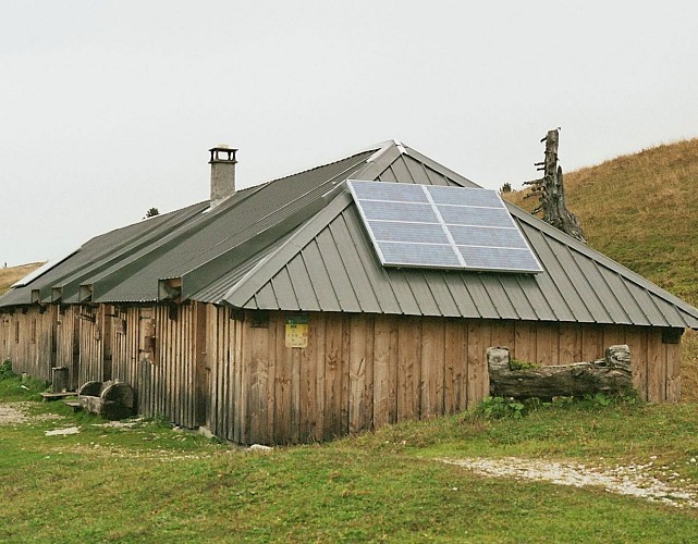
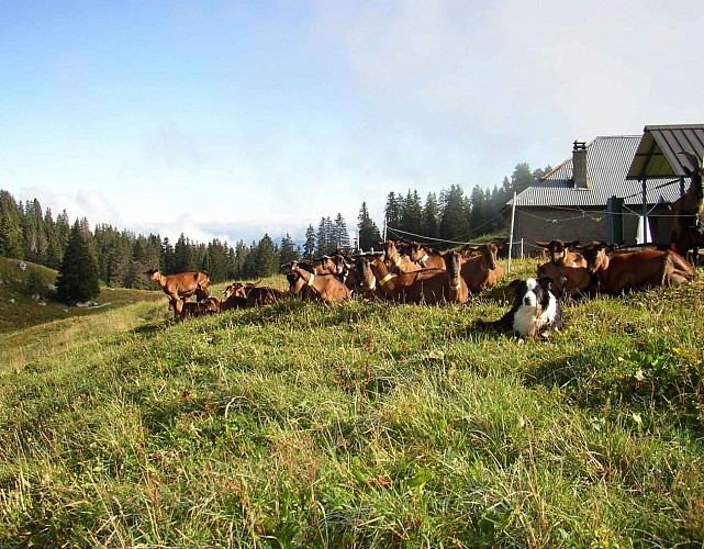
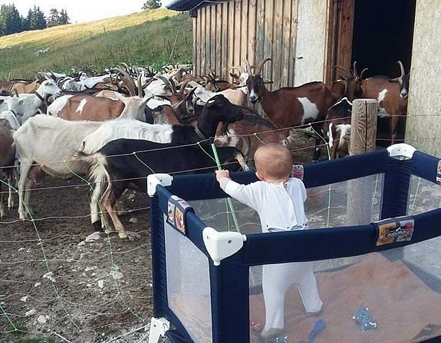
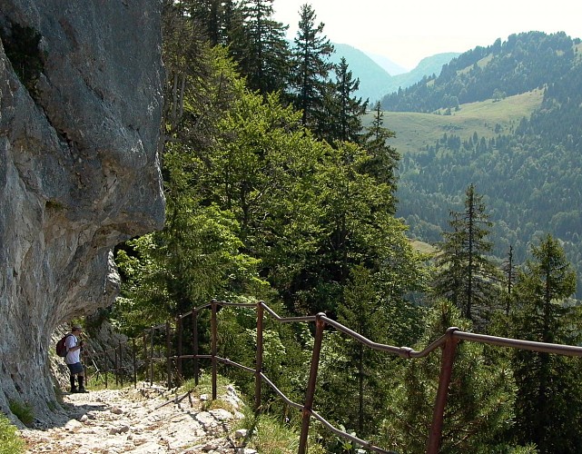
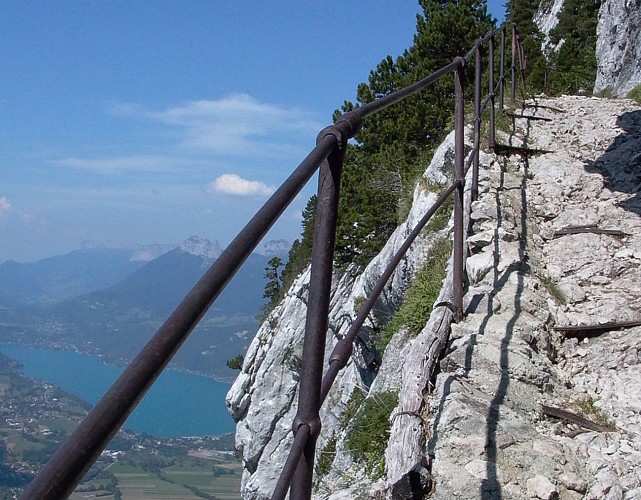
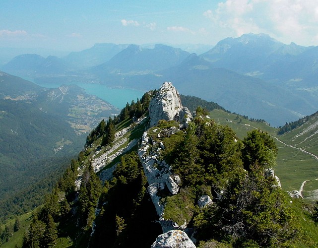
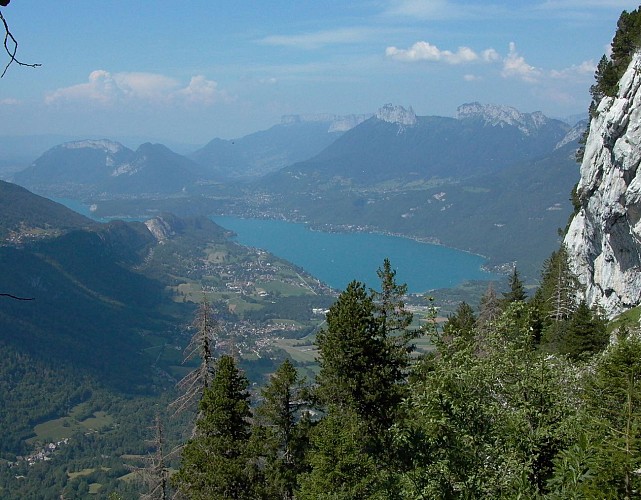
Located at an altitude of 1,572 metres in the Bauges Massif, this mountain farm refuge enjoys breathtaking views of Mont Blanc. Marie and Stéphane welcome visitors to an authentic alpine setting, where goats and sheep graze nearby, and invite you to sample the organic cheeses produced on the farm.
The refuge serves traditional Savoyard cuisine prepared with farm produce, including the daily farmhouse platter featuring goat's or sheep's cheese, local cured meats, salad, and a homemade dessert.
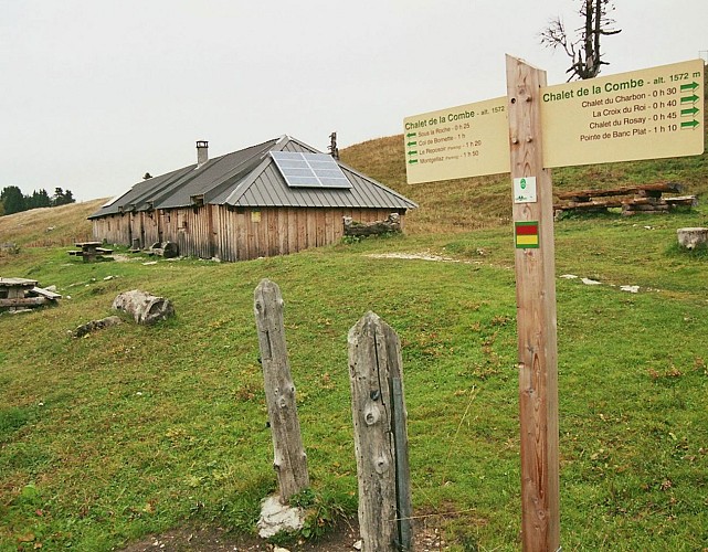
The refuge is a stop on the Tour du Lac d'Annecy GRP hiking trail and an excellent base for exploring the surrounding mountains. Popular hikes include Pointe de Banc Plat, Mont Trélod, Croix du Roy, La Combe, and the multi-day Tour de la Dent des Portes from Bellecombe-en-Bauges, with an overnight stop at the refuge.
The refuge can be reached from Lathuile (Saury), Doussard (Combe d'Ire), Bellecombe-en-Bauges (Le Reposoir), or from Chevaline via the parking area signposted "Cascade du Trou de l'Enfer".
During the winter season, the refuge is open on a self-catering basis only and is managed by the Municipality of Lathuile.
Informazioni tecniche
Profilo altimetrico
Data e ora
- Dal 20/06/2027 al 20/09/2027
Informazioni aggiuntive
Updated by
Office de Tourisme des Sources du Lac d'Annecy - 14/10/2026
www.sources-lac-annecy.com
Report a problem
Price(s)
Night: 5 €
Half-board (child) (9 years): 35 €.
Ranking and capacity
Refuge
Capacity : 16 people
Contact
Phone : 06 23 39 84 80
Email : lebiochevre@gmail.com
Facebook : https://www.facebook.com/Refuge-de-la-combe-1698925580383336/
Location complements
Closest village or resort: Bellecombe-en-Bauges.
Hiking time from closest parking lot: 2 hours.
Trail map: IGN TOP 3432 OT Massif des Bauges
Reception complements
Dining: goat cheese raclette, delicious cuisine using ingredients from the farm.
Animali
No
