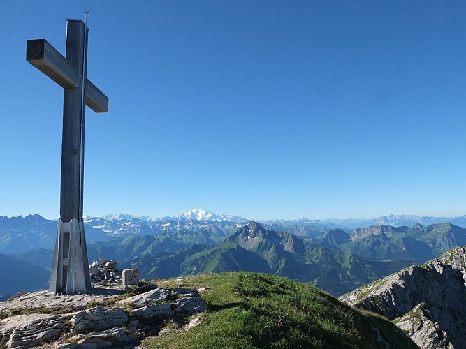
Cornettes de Bise summit
Descrizione
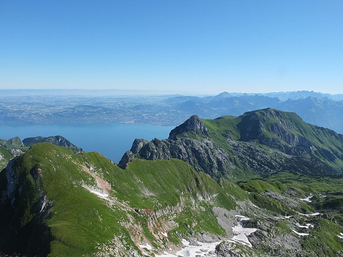
The Cornettes de Bise massif is located between the Abondance valley and the Tanay valley, in Switzerland. Located in the town of La Chapelle d'Abondance, it peaks at 2432 m above sea level and is part of the Natura 2000 network.
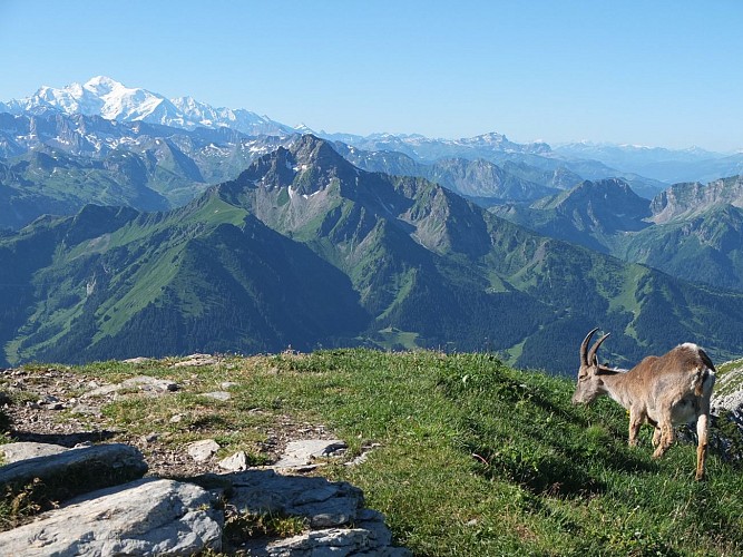
Chamois, mouflons, golden eagles and notably the Alpine ibex, whose (border) population is estimated at around 700 individuals, can be seen on this massif. Certain species, such as the blue thistle, are also abundant on the site, but are nevertheless rare in France or in Europe.
The angular relief of the Cornettes de Bise is composed of hard limestone rocks. The slopes are steep, even abrupt, with numerous rocky bars and scree.
By decree of 2 August 2013, the Cornettes de Bise is a classified site because of its picturesque character.
A classified site is a remarkable natural area whose historical, artistic, scientific, legendary or picturesque character requires, in the name of the general interest, that it be preserved in its current state and that it be protected from any serious damage (destruction, alteration, trivialisation, etc.).
Natura 2000 is a network of protected natural sites throughout Europe, identified for the rarity or fragility of their wild species and the natural habitats that shelter them. The aim is to preserve the biodiversity of these areas in the long term without banning all human activities and to enhance the natural heritage of the area. Natura 2000 is not a nature reserve in the strict sense.
Informazioni tecniche
Profilo altimetrico
Informazioni aggiuntive
Contact
Phone : 04 58 57 03 00
Email : accueil@cc-peva.fr
Open period
All year round.
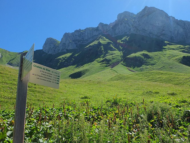
Summit accessible by hiking only, generally from mid-June to mid-September, dates which may change depending on weather conditions. Check with tourist offices or Mountain Guides before any access attempt.
Subject to favorable weather.
Updated by
Office de Tourisme Leman Mountains Explore - 16/03/2024
leman-mountains-explore.com
Report a problem
Price(s)
Free access.
