Allarme
Allarmi
Grotte et reculée de Corveissiat, ENS de l'Ain


Descrizione
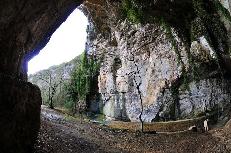
This valley is one of the most remarkable sites in the Revermont region, with its imposing cliffs and cave. Its entrance is 30 meters high. Spectacular views. Guided tours in the summer. A short hike perfect for families.
The secluded Corveissiat Cave was designated an “ENS” site by the Ain Department in 2014. True natural and scenic gems of the Ain Department, sites bearing the ENS “Sensitive Natural Areas” designation are managed to preserve their biodiversity and developed for public access (with exceptions due to the fragility of certain habitats).
The mountains of the Ain, which are predominantly limestone, are fissured, fractured, curved, and folded in every direction. Over the centuries, runoff water has seeped into the rock, slowly widening these fissures, which have gradually formed an underground network of tunnels and cavities.
These landscapes are one of the major features of the Ain’s natural heritage.
On the surface, they form fissures, sinkholes, water losses, and chasms. A particularly rare fauna is associated with this type of landscape (including raptors and cliff-dwelling birds, among others).
Informazioni tecniche
Profilo altimetrico
Informazioni aggiuntive
Distinctions
Environmentally Sensitive Areas
Listed natural site
Updated by
Bourg-en-Bresse Destinations - Office de tourisme - 15/10/2026
www.bourgenbressedestinations.fr
Report a problem
Contact
Email : agek.contact@orange.fr
Website : https://agek.fr
Tips
- Year-round, self-guided hikes are available on the trail in the valley.
- THE CAVE IS OPEN only for guided tours during the summer and by registration with Agek (be sure to wear sturdy shoes and comfortable clothing)
Reception complements
The Corveissiat Cave, a designated protected site, is closed from November through December to protect bats.
Animali
Sì
