Allarme
Allarmi
Voie Verte La Traverse

Informazioni tecniche
Profilo altimetrico
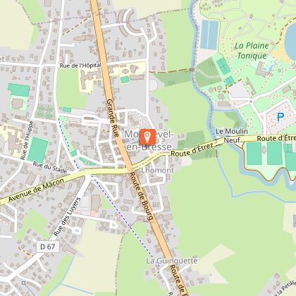
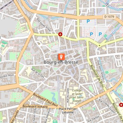
Punto di partenza
Punti di interesse


Informazioni aggiuntive
Updated by
Bourg-en-Bresse Destinations - Office de tourisme - 09/06/2026
www.bourgenbressedestinations.fr
Report a problem
Environments
Città
Itinerario ciclistico a meno di 1 km
In prossimità di un'autostrada
Spiaggia a 300 m
Pista/percorso ciclabile a meno di 500 m
Vicino del acqua
10-20 minuti in bicicletta da una stazione SNCF
Campagna
Nella periferia della città
Nel centro storico
Centro del villaggio
Centro città
Fiume a -5 km
Lago o bacino d'acqua a -5 km
20 - 30 minuti a piedi da una stazione SNCF
In prossimità di una fermata di un mezzo di trasporto pubblico
Villaggio a -2 km
Percorso pedonale segnalato a meno di 500 m di distanza
Distinctions
Etichetta MTB - FFCT
Open period
Tutto l'anno ogni giorno.
Contact
Phone : 04 74 22 49 40
Email : accueil@bourgenbressedestinations.fr
Website : https://www.bourgenbressedestinations.fr
Facebook : https://www.facebook.com/BourgenBresseTourisme
Type of land
Rivestimento duro (catrame, cemento, pavimentazione)
Animali
Sì
