Allarme
Allarmi
Tipo di pratica
A piedi
Medio
4h30mn
Presentazione
Mappa
Punti di interesse
Valutazioni e recensioni
Vedi nei dintorni
A piedi :Ban Rouge

IGN Carte

3531OTR - MEGEVE RESISTANTE COL DES ARAVIS
Editore : IGN
Collezione : TOP 25 RÉSISTANTE
Scala : 1:25 000
17.20€

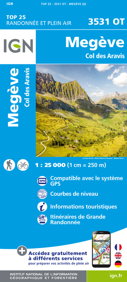
3531OT - MEGEVE COL DES ARAVIS
Editore : IGN
Collezione : TOP 25 ET SÉRIE BLEUE
Scala : 1:25 000
13.90€

TOP75004 - BEAUFORTAIN MASSIF DU MONT BLANC
Editore : IGN
Collezione : TOP 75
Scala : 1:75 000
9.80€

TOP75032 - CHAINE DES ARAVIS - MASSIF DES BAUGES
Editore : IGN
Collezione : TOP 75
Scala : 1:75 000
9.80€

TOP100D73 - SAVOIE CHAMBÉRY ALBERTVILLE PARC NATIONAL DE LA VANOISE PNR DU MASSIF DES BAUGES
Editore : IGN
Collezione : TOP 100
Scala : 1:100 000
8.40€

TOP100D74 - HAUTE-SAVOIE ANNECY THONON-LES-BAINS MASSIF DU MONT BLANC CHAÎNE DES ARAVIS
Editore : IGN
Collezione : TOP 100
Scala : 1:100 000
8.40€

202 JURA ALPES DU NORD
Editore : IGN
Collezione : TOP 200
Scala : 1:200 000
6.80€

D38 ISÈRE
Editore : IGN
Collezione : CARTES DÉPARTEMENTALES IGN
Scala : 1:150 000
5.90€

NR14 AUVERGNE-RHÔNE-ALPES RECTO/VERSO MASSIF CENTRAL
Editore : IGN
Collezione : CARTES RÉGIONALES IGN
Scala : 1:250 000
6.80€

NR15 AUVERGNE-RHÔNE-ALPES RECTO/VERSO MASSIF ALPIN
Editore : IGN
Collezione : CARTES RÉGIONALES IGN
Scala : 1:250 000
6.80€

SUISSE
Editore : IGN
Collezione : DÉCOUVERTE DES PAYS DU MONDE IGN
Scala : 1:303 000
7.00€

EUROPE
Editore : IGN
Collezione : DÉCOUVERTE DES PAYS DU MONDE IGN
Scala : 1:2 500 000
7.00€
Informazioni tecniche
A piedi
Difficoltà
Medio
Durata
4h30mn
Dist.
15 km
Tipo di pratica
A piedi
Medio
4h30mn
Mostra di più
Profilo altimetrico
Punto di partenza
Parking du Mont-Rond
,
73590
Notre-Dame-de-Bellecombe
Lat : 45.804125Lng : 6.550032
Punti di interesse
Data e ora
- Dal 01/05/2026 al 31/10/2026
Informazioni aggiuntive
Environments
In un bosco
Vista montagna
Montagna
Vista panoramica
Updated by
Office de Tourisme du Val d'Arly - 02/09/2025
www.valdarly-montblanc.com
Report a problem
Open period
Dal 01/05 al 31/10.
Con riserva di condizioni di neve.
Contact
Phone : 04 79 31 61 40
Email : sentiers@valdarly-montblanc.com
Type of land
Terra
Non adatto ai passeggini
Animali
Sì
Autore dei dati
Valutazioni e recensioni
Da vedere nei dintorni


