Alerte
Alertes
Description
Carte
Notes et avis
À voir autour
PLAN D'EAU DE LA MADELEINE


Crédit
: ©fAY
Description
En bordure de la départementale 16, bel étang avec parking, parcours de santé, possibilité de pêche, rendez-vous festif...
Informations techniques
Lat, Lng
47.4142222-1.7859889
Coordonnées copiées
Point d'intérêt mis à jour le 13/03/2025
Profil altimétrique
Information complémentaire
Accueil des animaux ?
Animaux acceptés : oui
Cartes IGN

1222SB - BLAIN NORT-SUR-ERDRE
Editeur : IGN
Collection : TOP 25 ET SÉRIE BLEUE
Échelle : 1:25 000
13.90€
1122SB - SAVENAY
Editeur : IGN
Collection : TOP 25 ET SÉRIE BLEUE
Échelle : 1:25 000
13.90€
VEL05 - LE MORBIHAN À VÉLO
Editeur : IGN
Collection : DECOUVERTE A VELO
Échelle : 1:105 000
9.10€

D44 LOIRE-ATLANTIQUE
Editeur : IGN
Collection : CARTES DÉPARTEMENTALES IGN
Échelle : 1:150 000
5.90€
D35 ILLE-ET-VILAINE
Editeur : IGN
Collection : CARTES DÉPARTEMENTALES IGN
Échelle : 1:150 000
5.90€
D22-56 CÔTES-D'ARMOR MORBIHAN
Editeur : IGN
Collection : CARTES DÉPARTEMENTALES IGN
Échelle : 1:150 000
5.90€

NR07 PAYS DE LA LOIRE
Editeur : IGN
Collection : CARTES RÉGIONALES IGN
Échelle : 1:250 000
6.80€
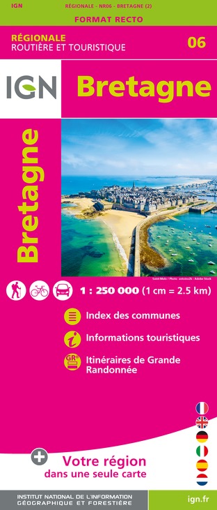
NR06 BRETAGNE
Editeur : IGN
Collection : CARTES RÉGIONALES IGN
Échelle : 1:250 000
6.80€

801 FRANCE NORD OUEST
Editeur : IGN
Collection : CARTES NATIONALES IGN
Échelle : 1:320 000
6.10€

EUROPE
Editeur : IGN
Collection : DÉCOUVERTE DES PAYS DU MONDE IGN
Échelle : 1:2 500 000
7.00€
Auteur de la donnée

proposé par
e-SPRIT
Notes et avis
À voir autour