Alerta
Alertas
Refuge du Promontoire
Descripción
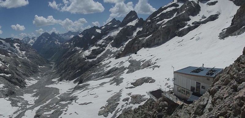
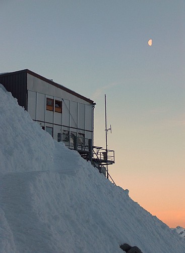
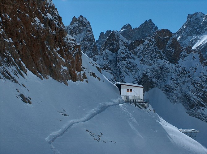
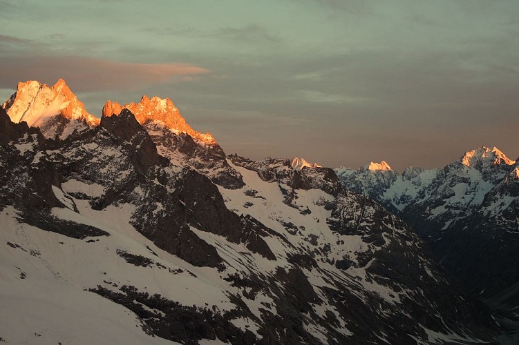
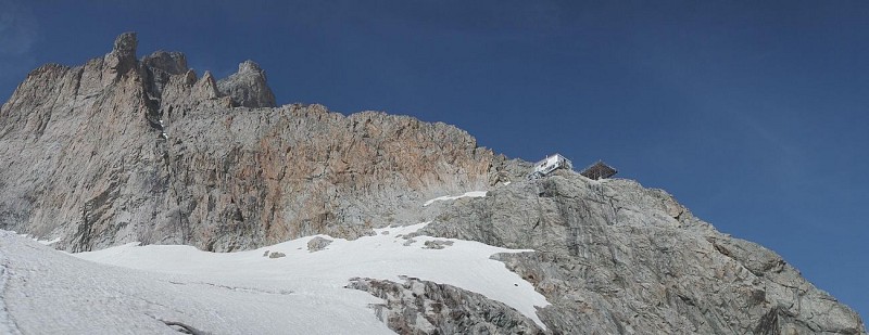
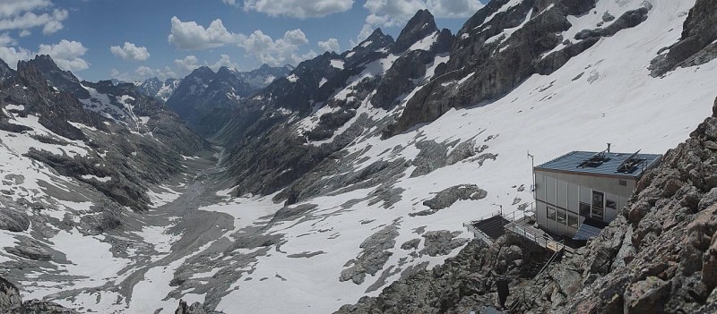
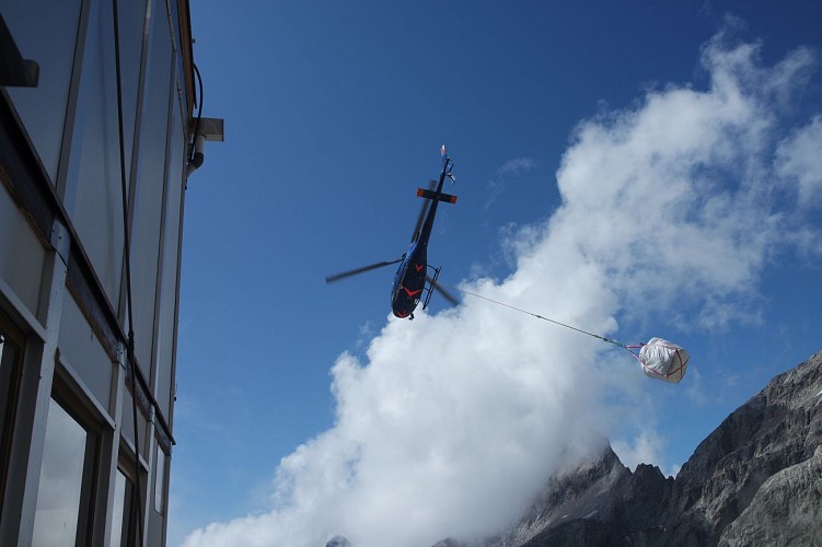
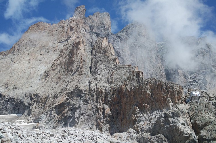
Clinging to the rocks on the ridge leading up to the Meije, it is like the prow of a ship dominating the sheer drop. It's a refuge for mountaineers, but also a wonderful excursion for seasoned hikers!
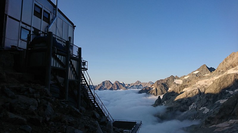
In the heart of the Parc National des Ecrins, the Promontoire refuge is "the" refuge of the Meije and offers a breathtaking view of the Vallon des Etançons.
It is the starting point for climbers on the Brèche de la Meije and the mythical traverse of the Meije to the Aigle refuge.
In winter and spring, it is also a stage on the Tour de la Meije ski tour.
HIKING IN THE HEART OF THE ECRINS NATIONAL PARK
The Écrins massif is an exceptional area, open to all, with a rare natural, cultural and landscape heritage.
and landscapes. To protect these treasures, the heart of the park is marked with blue-white-red painted flags, where regulations must be respected. Please take note of them when preparing your hike
to preserve this collective asset on the ecrins-parcnational.fr website.
Información técnica
Perfil altimétrico
Fecha y hora
- Desde 13/09/2026 hasta 12/03/2027
- Desde 13/09/2027 hasta 12/03/2028
Información adicional
Price(s)
Night: 8 €
Child rate per night (8-12 years): 8 €
CAF member rate per night: 8 €.
Free entry for children under 8.
Group rate available for 9 people or more.
Tariff and discounts available at refugedupromontoire.ffcam.fr/tarifs.html.
Tax not included.
Distinctions
Club Alpin Français
Updated by
Club Alpin Français - FFCAM - 09/09/2026
ffcam.fr
Report a problem
Ranking and capacity
Refuge
Capacity : 32 people
Contact
Phone :
04 76 80 51 67
06 19 70 13 35
09 88 28 19 08
Email : refugedupromontoire@ffcam.fr
Website : https://refugedupromontoire.ffcam.fr/
Facebook : https://www.facebook.com/Refuge-du-Promontoire-191231914249911/?fref=ts
Location complements
Public transport: By train to Grenoble train station - Coach services from Grenoble coach station to Bourg d'Oisans: 3000 service to Bourg d'Oisans via Vizille or 3030 service to Les Deux Alpes via Bourg d'Oisans. Information and timetables available at www.transisere.fr or by phone (0 820 08 38 38).
From La Bérarde: (Height gain 1380 m, duration 5h)
Walk up to the Refuge du Châtelleret (2h). From Le Châtelleret, carry on up the Étançons valley, crossing the moraines of the ancient glacier. At 2900m, you have two options:
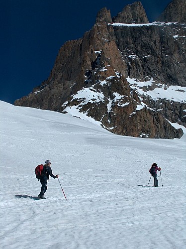
- either the standard, easier route, going east (left uphill) to reach the foot of the glacier then going west (right) along the glacier but without walking on it, until you reach the hut. There are numerous cairns marking the way. At the beginning of the season, snow remains at the top of the ascent to the hut.
- or by a more alpine route (climbing gear essential) by climbing straight up the Promontoire ridge, which is fitted with a via-ferrata type cable.
From La Grave: (Height gain 1110 m, duration 4h30, Rating PD 3b ll P4)
By the Brèche de la Meije, north side, via the Enfetchores (hiking guide and map essential).
After the climb up to the Enfetchores, carry on to the Meije gap (3357m) then go down the south face to the Promontoire hut (belay points and abseils re-equipped in 2011).
Animales
No
Autor de los datos
