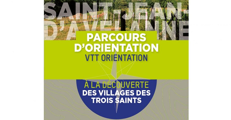
Orienteering tracks : The three Saints

Descripción
3 different tracks (from 5 to 15 km) to follow by foot or riding your bike discovering the emblematic elements of the 3 villages named after Saints. Follow the topographic map to find the tags symbolized with the red circles.
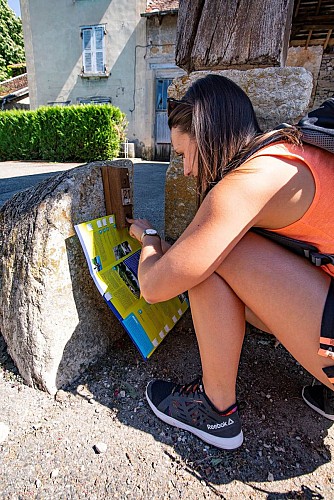
Follow the topographic map, use the clues of the landscape to find directions and to find the tags symbolized with the red circles. For every tag there is a piercer on a wood stick in order to pierce your map once you found the tag.
Información técnica
Perfil altimétrico
Información adicional
Contact
Website : www.tourisme-valsdudauphine.fr/
Facebook : www.facebook.com/valsdudauphinetourisme/
Open period
All year round.
Updated by
Office de Tourisme des Vals du Dauphiné - 28/03/2024
www.tourisme-valsdudauphine.fr/
Report a problem
Price(s)
Free of charge. Free maps available in your tourist offices during opening hours.
Autor de los datos
