Alerta
Alertas
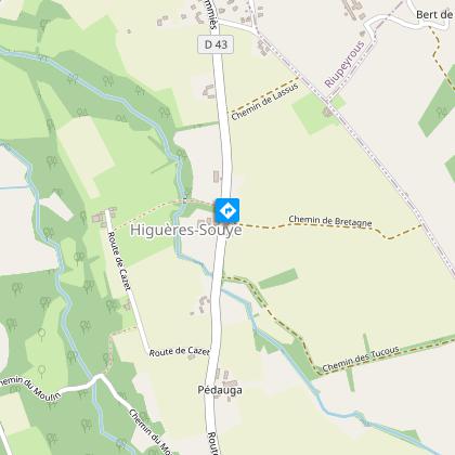
Higuères-Souye : entre Luy et Souye à VTT
IGN tarjetas


Descripción
Este paseo, muy variado, atrae tanto a los ciclistas como a los senderistas. Los tramos de sotobosque y los senderos son muy agradables. El relieve en torno al Luy de France y al Souye está bien marcado, lo que da a esta ruta un aspecto deportivo.
Informaciónes técnicas
Perfil altimétrico
Punto de partida
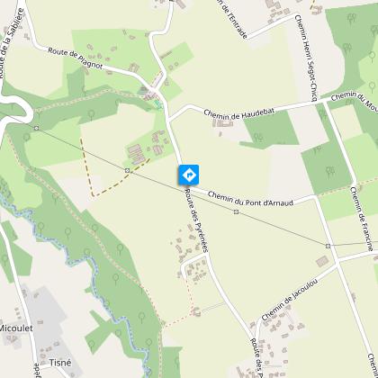
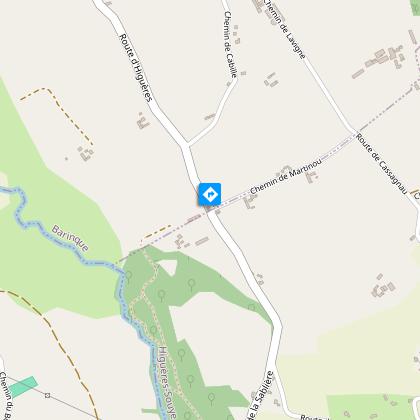
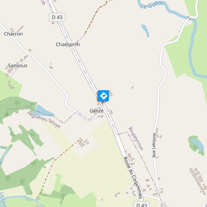
Pasos
Información adicional
Contact
Teléfono fijo : +33 5 59 33 62 25
Syndicat tourisme Coteaux Béarn Madiran (antenne Morlaàs)
Sitio web (URL) : www.bearnmadiran-tourisme.fr/
E-mail : contact@bearnmadiran-tourisme.fr
Balisage
Amarillo
Triangle du VTT
Typologie de l'itinéraire
Bucle
Thèmes
Natural
Durée moyenne de l'expérience
De 1 a 2 horas
Equipements
Área de picnic
Animaux bienvenus ?
Oui
Autor de los datos
