Alerta
Alertas
Tipo de práctica
En bicicleta de carretera
Difícil
1h30mn
Presentación
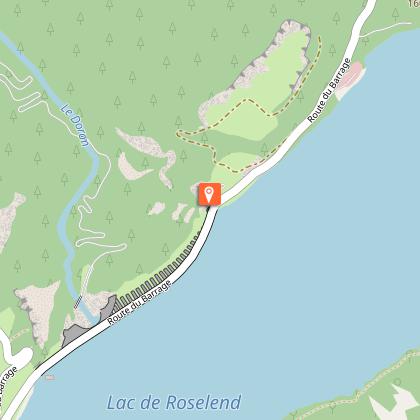
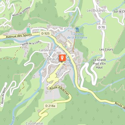
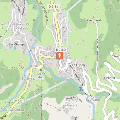
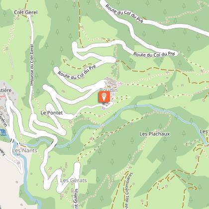
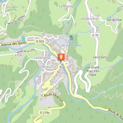
Mapa
Puntos de interés
Calificaciones y reseñas
Ver alrededor
Montée cyclo du Col du Pré
Informaciónes técnicas
En bicicleta de carretera
Dificultad
Difícil
Duración
1h30mn
Dist.
13 km
Tipo de práctica
En bicicleta de carretera
Difícil
1h30mn
Mostrar más
Perfil altimétrico
Punto de partida
Grande Rue
,
73270
Arêches-Beaufort
Lat : 45.717791Lng : 6.574974
Puntos de interés
Fecha y hora
- Desde 15/04/2026 hasta 31/10/2026
- Desde 15/04/2027 hasta 31/10/2027
Información adicional
Updated by
Agence alpine des territoires - 28/04/2026
www.agate-territoires.fr
Report a problem
Open period
Del 15/04 al 31/10 todos los dias.
Contact
Email : info@areches-beaufort.com
Website : http://www.areches-beaufort.com
Animales
Sí
Autor de los datos

propuesto por
Agence Alpine des Territoires
25 Rue Jean Pellerin 73000 Chambéry France
Calificaciones y reseñas
Para ver alrededor