Alerta
Alertas
Maucor : du Pont Long aux coteaux à VTT
Descripción
El ciclismo de montaña (de verdad) como a nosotros nos gusta: terreno variado, subidas empinadas y descensos ondulados. Un cóctel deportivo lleno de desafíos y hermosas vistas. Este recorrido es duro y requiere una buena condición física.
Informaciónes técnicas
Perfil altimétrico
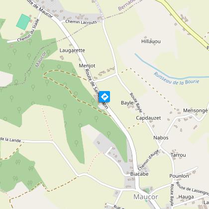
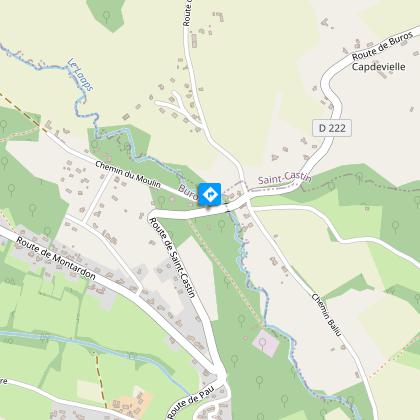
Punto de partida
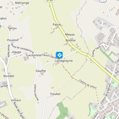
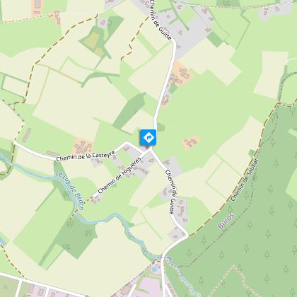
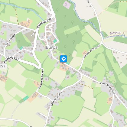
Pasos
Información adicional
Contact
Teléfono fijo : +33 5 59 33 62 25
Syndicat tourisme Coteaux Béarn Madiran (antenne Morlaàs)
E-mail : contact@bearnmadiran-tourisme.fr
Sitio web (URL) : www.bearnmadiran-tourisme.fr/
Balisage
Amarillo
Triangle du VTT
Typologie de l'itinéraire
Bucle
Sendero de Gran Recorrido (GR®)
Thèmes
Compostela
Cultural
Gastronómico
Histórico
Insólito
Natural
Religioso
Durée moyenne de l'expérience
De 2 a 3 horas
Equipements
Límite de recargo
Área de picnic
Power Point (supermercado, restaurantes)
Agua punto
Instalaciones sanitarias
Autor de los datos
