Alerta
Alertas
Tipo de práctica
En bicicleta de carretera
Difícil
8h
Presentación
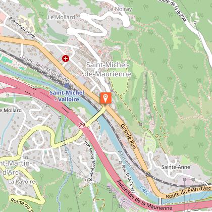
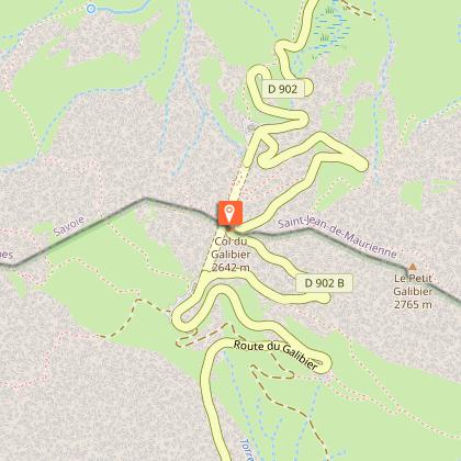
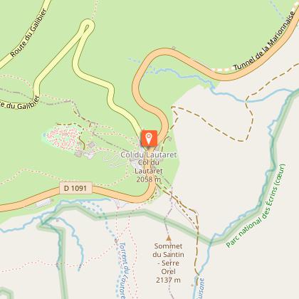
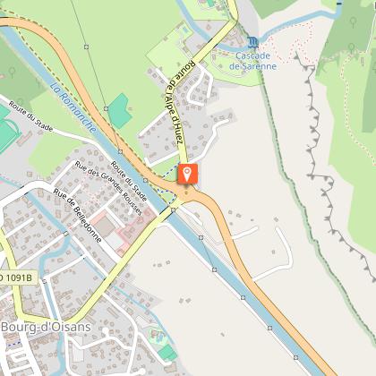
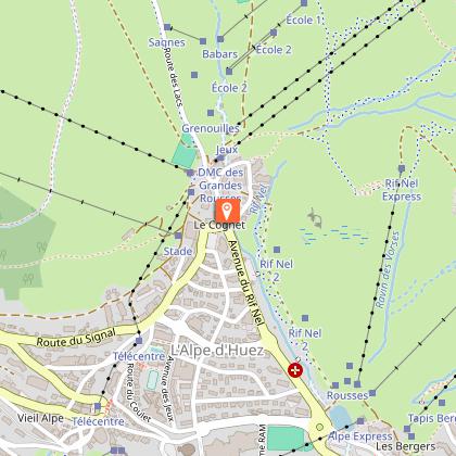
Mapa
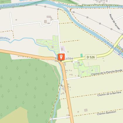
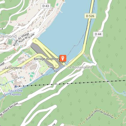
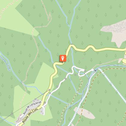
Pasos
Calificaciones y reseñas
Ver alrededor
La Marmotte
Informaciónes técnicas
En bicicleta de carretera
Dificultad
Difícil
Duración
8h
Dist.
177 km
Tipo de práctica
En bicicleta de carretera
Difícil
8h
Mostrar más
Perfil altimétrico
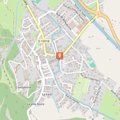
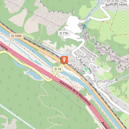
Punto de partida
38520
Le Bourg-d'Oisans
Lat : 45.054787Lng : 6.031618
Pasos
Fecha y hora
- Desde 01/06/2026 hasta 31/10/2026
- Desde 01/06/2027 hasta 31/10/2027
Información adicional
Environments
Vista a la montaña
En montaña
Updated by
Oisans Tourisme - 17/04/2026
www.bike-oisans.com
Report a problem
Open period
Del 01/06 al 31/10.
Contact
Phone : 04 76 80 03 25
Email : info@oisans.com
Website : https://www.bike-oisans.com
Autor de los datos

propuesto por
Oisans Tourisme
Calificaciones y reseñas
Para ver alrededor