Alert
Alerts
Compostelle Savoie - Stage 1 - From the heights of Seyssel to Chanaz
Description
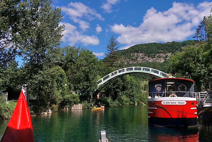
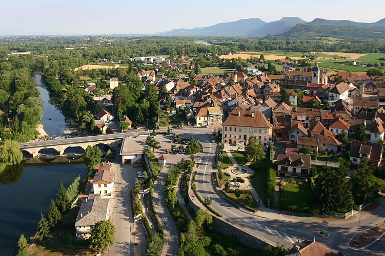
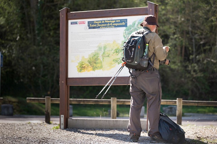
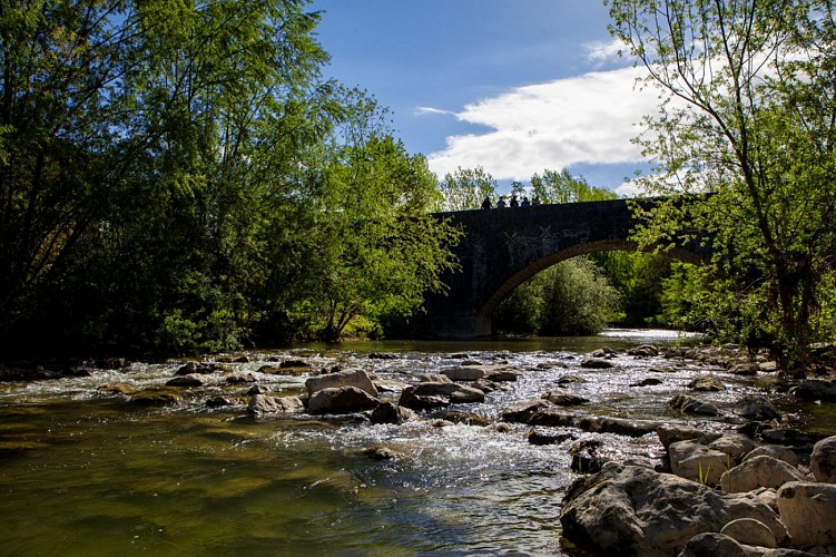
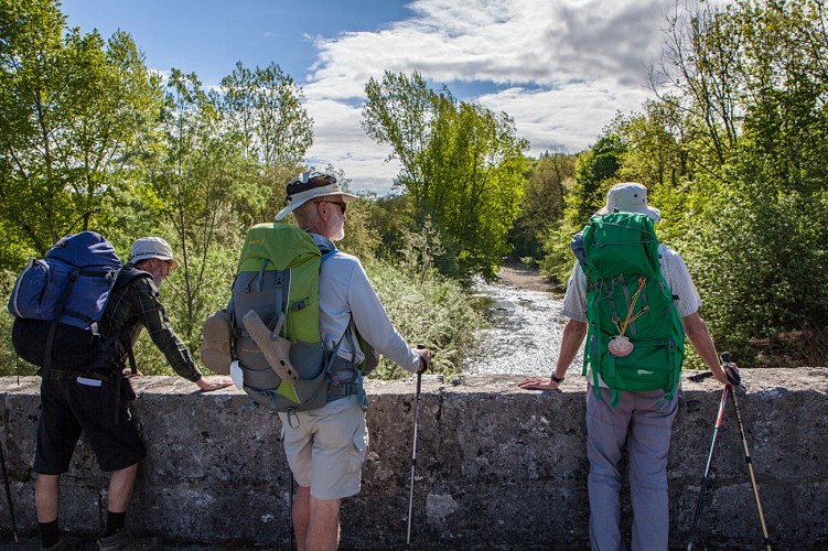
From Seyssel, the route follows the banks of the Rhône. You cross the Chautagne poplar grove before arriving at the pretty village of Chanaz, along the Canal de Savière.
find all the itinerary stages on :
geneve-lepuy.chemindesaintjacques.com
www.amis-st-jacques.org
www.mongr.fr
Technical Information
Altimetric profile
Additional information
Updated by
Agence alpine des territoires - 10/09/2026
www.agate-territoires.fr
Report a problem
Open period
All year round daily.
Subject to favorable weather.
Contact
Phone : 04 79 36 71 54
Email : info@yenne-tourisme.fr
Website : http://www.dentduchat.fr
Guidebook with maps/step-by-step
+ gps tracks of the 3 stages attached.
1/ DAY 1: Heights of Seyssel - Chanaz / Distance: 22 km / Duration: 6 h / Difference in altitude: + 113 m and - 374 m
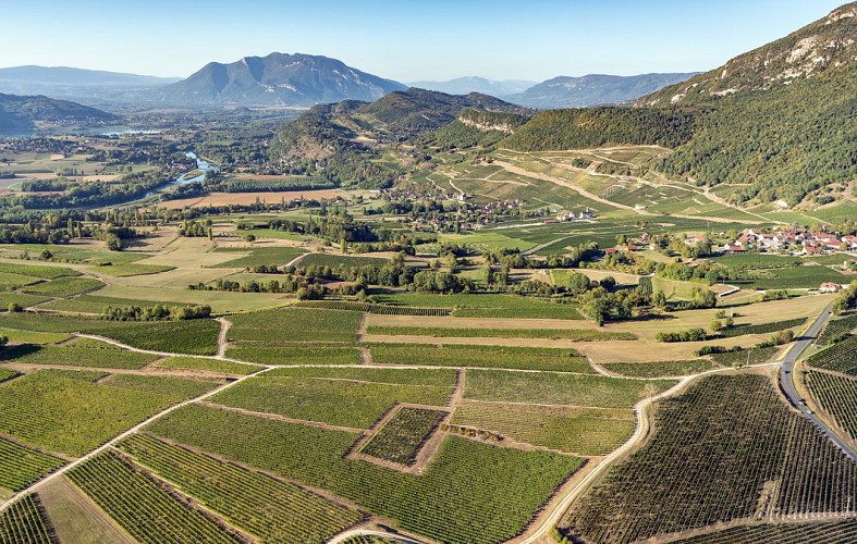
An easy downhill stage from the heights of Seyssel to the pretty village of Chanaz, which welcomes 200,000 visitors every summer. While the first part of the stage leads to the confluence of the Fier and Rhône rivers, the second part takes in the Rhône basin, where man's mark on the landscape is very present in the form of housing, agriculture and industry.
Data author
