Alert
Alerts
Description
Map
Ratings and reviews
See around
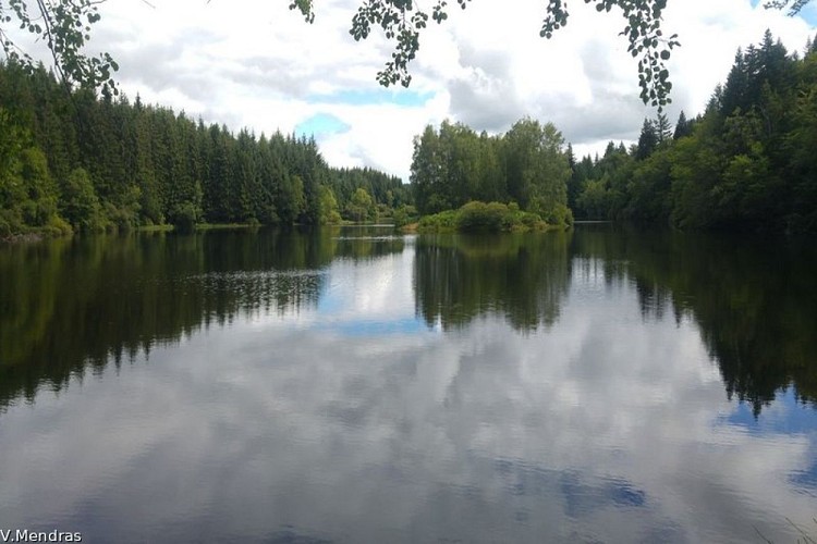
Etang Noir
Credit
: V.Mendras
Description
Water is the commune's principal resource. Omnipresent, it was used for fish farming and as a source of energy (Saint-Victour had many mills). Then between 1925 and 1927, the Chaumettes dam was built.
Technical Information
Lat, Lng
45.46408662.3897477
Coordinates copied
Point of Interest updated on 23/10/2026
Altimetric profile
Data author

7 route d'Aubusson 19290 Millevaches France
Ratings and reviews
To see around