Alert
Alerts
Description
Map
Ratings and reviews
See around
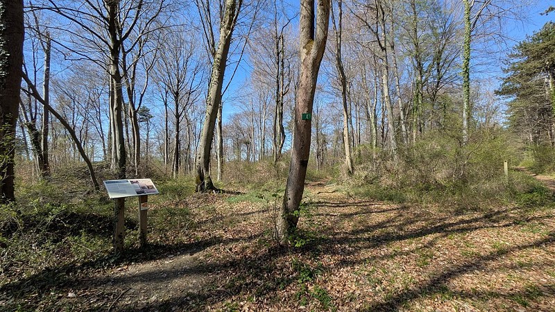
Gérardmer Trench
Credit
: OT Pays de Laon
Description
This defensive stronghold was the scene of fierce fighting in this sector of the Chemin des Dames following the launch of the Nivelle Offensive in April 1917.
The soldiers called it the ‘edge fortification’ because it was situated on the edge of the plateau, but it was soon renamed the Gérardmer trench (or embankment) by the 152nd Infantry Regiment, which stormed it, in reference to the town in the Vosges from which their garrison hailed.
Still visible beneath the foliage today, an information panel on site will explain the history of the site...
Technical Information
Lat, Lng
49.44405653.7613904
Coordinates copied
Altitude
190 m
Point of Interest updated on 08/04/2026
Altimetric profile
Data author

proposed by
Office de tourisme du Pays de Laon
Place du parvis Gautier de Mortagne 02000 LAON France
Ratings and reviews
To see around