Alert
Alerts
Description
Map
Ratings and reviews
See around
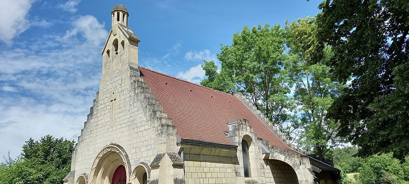
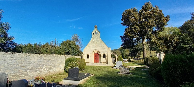
Courtecon chapel

Credit
: OT Pays de Laon
Description
Attested as far back as the end of the 12th century, this small commune had just under 100 inhabitants before 1914. Initially occupied by the Germans, it was completely razed in the spring of 1917 during the Nivelle offensive, and a decree attached it to neighbouring Pancy in September 1923.
In 1932, the commemorative chapel we see today was erected on the edge of the main road in place of the former church of Saint-Martin...
Technical Information
Lat, Lng
49.45477963.649437
Coordinates copied
Altitude
103 m
Point of Interest updated on 13/05/2025
Altimetric profile
Additional information
The trail of villages that disappeared on the Chemin des Dames
The Communauté de Communes du Chemin des Dames has set up a notice board opposite the chapel, where you can learn all about the customs of the local inhabitants at the end of the 19th century...
Data author

proposed by
Office de tourisme du Pays de Laon
Place du parvis Gautier de Mortagne 02000 LAON France
Ratings and reviews
To see around