Alert
Alerts
Plan d'eau de Trèves

Description
Come and relax on the edge of this magnificent reservoir in the heart of the village of Trèves.
It's a great place to swim (unsupervised), picnic and relax.
Water reservoir located in the commune of Trèves. It is fed by the Trèvezel river, which rises in the Cévennes on the oceanic slopes of Mont Aigoual. The river forms its bed in the Gorges du Trèvezel as far as the village of Trèves, before continuing on to flow into "La Dourbie".
A site where bathing water quality is regularly monitored.
Technical Information
Altimetric profile
Additional information
Price(s)
Free of charge.
Updated by
Office de Tourisme Mont Aigoual Causses Cévennes - 26/11/2025
Report a problem
Open period
All year round daily.
Contact
Phone : 06.32.28.16.01
Email : mairie.treves@wanadoo.fr
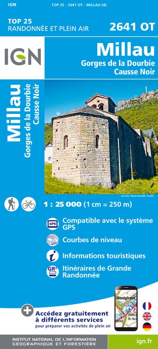
IGN cards


Animals
Yes
