Alert
Alerts
Description
Map
Ratings and reviews
See around
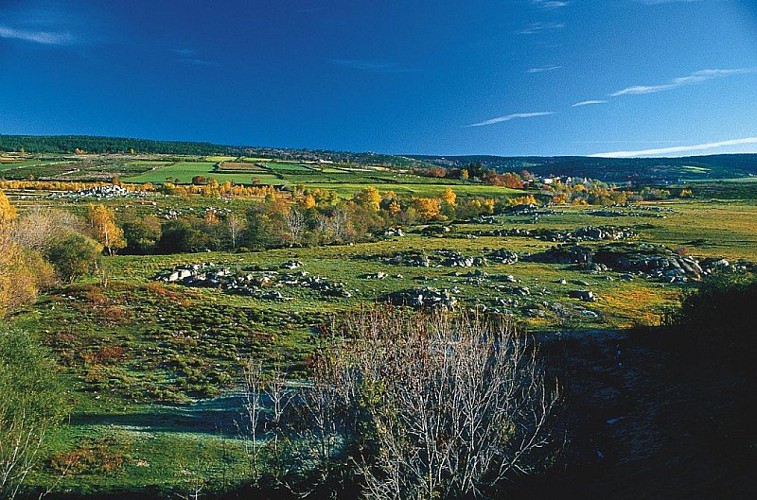
The river Bramont
Credit
: © jean Pierre Malafosse
Description
There are actually two Bramonts! The one that you are cycling along, and another Bramont, which flows north of the Cham des Bondons. As you go through Les Combettes, you are at the foot of this limestone plateau, whose highest point is at about 1,200 m. But under the plateau flows another river: the underground Bramont, discovered in 1967. It takes some of the water of the Bramont du Lot (north) and empties it into the Bramont du Tarn (south)! The old-timers knew this and understood that by blocking, unblocking or diverting the waters draining out of the northern river, they could vary the rate of flow of the resurgence.
Technical Information
Lat, Lng
44.38736923.5571193
Coordinates copied
Uncertain state
Point of Interest updated on 16/11/2022
This point of interest hasn't been updated recently, which could compromise the reliability of this information. We recommend that you inquire and take all necessary precautions. If you're the author, please verify your information.
Altimetric profile
Data author

proposed by
Parc national des Cévennes
Ancienne gare 48400 Florac-trois-Rivières France
Ratings and reviews
To see around