Description
Map
Ratings and reviews
See around
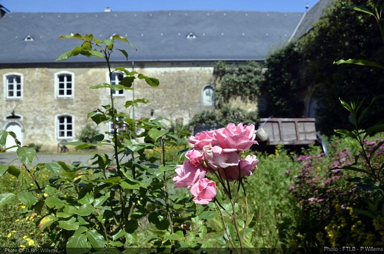
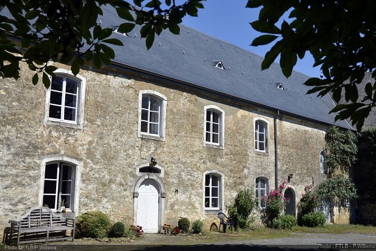
Castle of Guirsch
Credit
: FTLB/P.Willems
Description
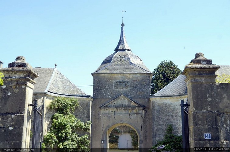
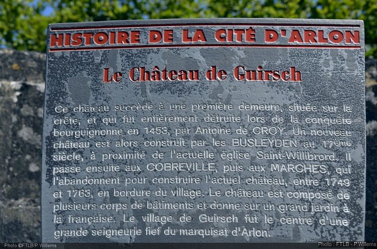
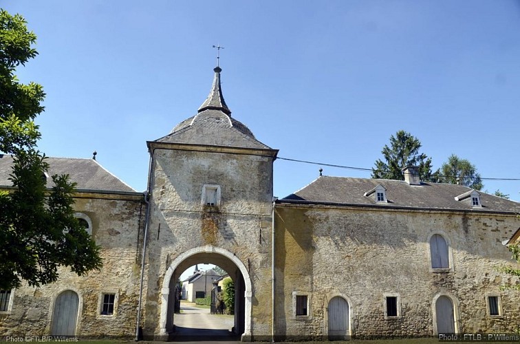
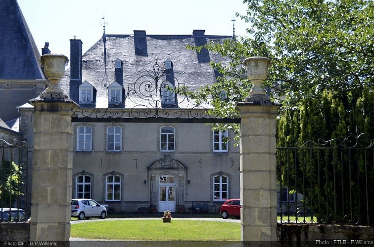
The Castle of Guirsch followed a first residence built on the crest, and destroyed during the Burgundian conquest in 1453, by Antoine de Croy. Then a new castle is ercted by the Busleydens in the 17th century, close to the present St Willibrod's church. Later it went to the Cobrevilles, then to the Marches who desert it to build up the present castle, between 1749 and 1763 on the outskirts of the village. The castle is composed of several main parts of buildings ans looks onto a large garden, designed "à la française". Guirsch was the centre of a large seigneurie, fief of the the marquisate of Arlon. (Original text by Office du Tourisme d’Arlon)
Technical information
Updated at : 21/04/2024
rue du château
6704 Guirsch
6704 Guirsch
Lat : 49.71697Lng : 5.84937
390 m
Altimetric profile
Data author

proposed by
Pays d'Arlon
Ratings and reviews
To see around