Description
Map
Ratings and reviews
See around
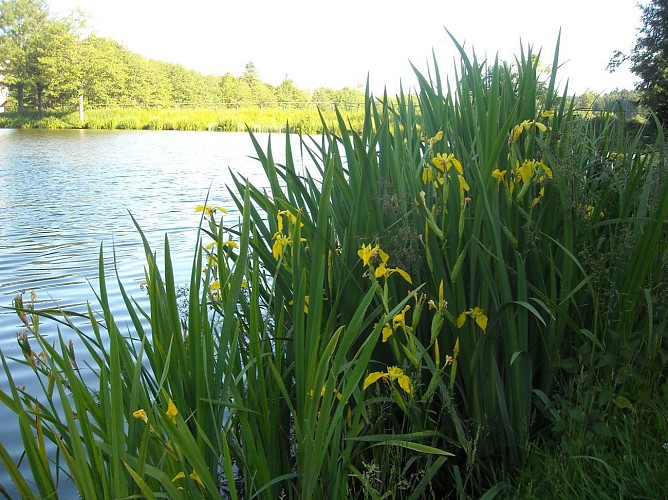
Plan d'eau de Poule-les Echarmeaux
Credit
: Anne Fimbel
Description
Vous arrivez au plan d'eau de Poule-les Echarmeaux. Vous pouvez le longer sur la
digue ou en faire le tour par l'extérieur.
Possibilité de rejoindre la zone humide des Monneries, géosite du GEOPARK
Beaujolais, toute proche !
Le plan d'eau est aménagé pour la pêche. Ouverture de début mars à fin décembre.
Pour prendre les cartes, visitez le site de la fédération de pêche du Rhône.
Technical Information
Lat, Lng
46.1493654.452424
Coordinates copied
Altitude
559 m
Uncertain state
Point of Interest updated on 14/05/2020
This point of interest hasn't been updated recently, which could compromise the reliability of this information. We recommend that you inquire and take all necessary precautions. If you're the author, please verify your information.
Altimetric profile
Data author

proposed by
Guide de pays du Beaujolais
1015 route des Monneries 69870 POULE LES ECHARMEAUX France
Ratings and reviews
To see around