Tours
Activities
Places of interest
Where to eat
Where to sleep
Floure, Aude, Languedoc-Roussillon
Are you in charge of the destination?Discover Floure, a charming commune located in the Aude department, in the Languedoc-Roussillon region. Nestled in the heart of vineyards, Floure will captivate you with its picturesque landscapes and rich historical heritage. Stroll through its quiet streets and admire the typical stone houses of the region. Don't miss Floure Castle, a medieval building that has been beautifully restored to offer...See more


")


What to do in Floure
See more suggestionsFind the best activities in Floure and book easily online.
See more suggestions


IGN cards

2346SB - LIMOUX CAZILHAC
Editor : IGN
Collection : TOP 25 ET SÉRIE BLEUE
Scale : 1:25 000
13.90€
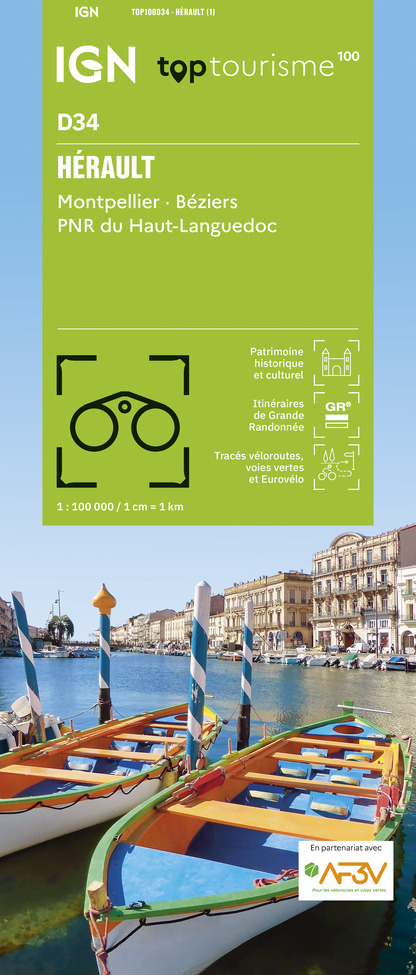
TOP100D34 - HÉRAULT MONTPELLIER BÉZIERS PNR DU HAUT-LANGUEDOC
Editor : IGN
Collection : TOP 100
Scale : 1:100 000
8.40€

TOP100D66 - PYRÉNÉES-ORIENTALES PERPIGNAN PRADES CÉRET CÔTE VERMEILLE PNR DES PYRÉNÉES CATALANES
Editor : IGN
Collection : TOP 100
Scale : 1:100 000
8.40€

TOP100D11 - AUDE CARCASSONNE NARBONNE LIMOUX QUILLAN CANAL DU MIDI
Editor : IGN
Collection : TOP 100
Scale : 1:100 000
8.40€

89031 - LE CANAL DU MIDI
Editor : IGN
Collection : DECOUVERTE DES CHEMINS
Scale : 1:100 000
9.10€

D09-66 ARIÈGE PYRÉNÉES-ORIENTALES
Editor : IGN
Collection : CARTES DÉPARTEMENTALES IGN
Scale : 1:150 000
5.90€

D11-81 AUDE TARN
Editor : IGN
Collection : CARTES DÉPARTEMENTALES IGN
Scale : 1:150 000
5.90€

EUROPE
Editor : IGN
Collection : DÉCOUVERTE DES PAYS DU MONDE IGN
Scale : 1:2 500 000
7.00€


Where to eat in Floure
See more suggestionsA wide selection of restaurants awaits you in Floure.
See more suggestions


Where to sleep in Floure
See more suggestionsBook your stay at one of Floure's accommodations.
See more suggestions


")


