Tours
Activities
Places of interest
Where to eat
Where to sleep
Camping et gîte d'étape l'Estela in the heart of Le monastier-sur-gazeille
Are you the owner?Nestled in the charming region of Haute-Loire in Auvergne, Le monastier-sur-gazeille is brimming with treasures to discover. Make the most of your stay at Camping et Gîte d'Étape l'Estela by exploring the lush landscapes and numerous hiking trails crisscrossing the area. The GR40 trail offers breathtaking views of the surrounding valleys and mountains. Take a detour through the historic village of...See more
Walking around CAMPING ET GITE D'ETAPE L'ESTELA
See more suggestionsHiking trails in the CAMPING ET GITE D'ETAPE L'ESTELA area.
See more suggestions


What to do in CAMPING ET GITE D'ETAPE L'ESTELA
See more suggestionsFind bookable activities in CAMPING ET GITE D'ETAPE L'ESTELA for an unforgettable experience.
See more suggestions


IGN cards

2836OT - GERBIER DE JONC MÉZENC VIVARAIS
Editor : IGN
Collection : TOP 25 ET SÉRIE BLEUE
Scale : 1:25 000
13.90€

TOP100D48 - LOZÈRE MENDE FLORAC-TROIS-RIVIÈRES PARC NATIONAL DES CÉVENNES GORGES DU TARN ET DE LA JONTE
Editor : IGN
Collection : TOP 100
Scale : 1:100 000
8.40€

TOP100D07 - ARDÈCHE PRIVAS AUBENAS VALLON-PONT-D'ARC PNR DES MONTS D'ARDÈCHE
Editor : IGN
Collection : TOP 100
Scale : 1:100 000
8.40€

TOP100D43 - HAUTE-LOIRE LE PUY-EN-VELAY BRIOUDE GORGES DE L'ALLIER
Editor : IGN
Collection : TOP 100
Scale : 1:100 000
8.40€
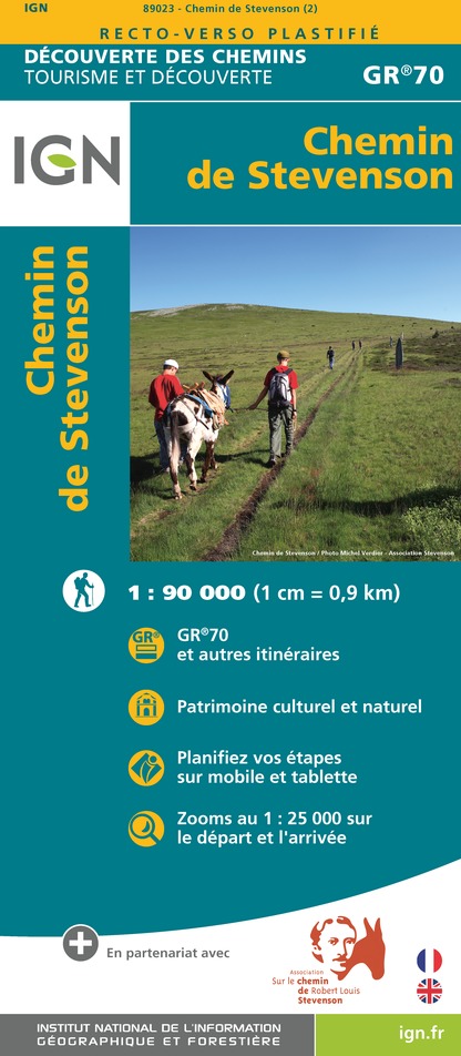
89023 - CHEMIN DE STEVENSON - GR70®
Editor : IGN
Collection : DECOUVERTE DES CHEMINS
Scale : 1:90 000
9.10€

D07-26 ARDÈCHE DRÔME
Editor : IGN
Collection : CARTES DÉPARTEMENTALES IGN
Scale : 1:150 000
5.90€

D12-48 AVEYRON LOZÈRE
Editor : IGN
Collection : CARTES DÉPARTEMENTALES IGN
Scale : 1:150 000
5.90€

D42-43 LOIRE HAUTE-LOIRE
Editor : IGN
Collection : CARTES DÉPARTEMENTALES IGN
Scale : 1:150 000
5.90€

EUROPE
Editor : IGN
Collection : DÉCOUVERTE DES PAYS DU MONDE IGN
Scale : 1:2 500 000
7.00€
What to visit in CAMPING ET GITE D'ETAPE L'ESTELA
See more suggestionsVisit the iconic landmarks of CAMPING ET GITE D'ETAPE L'ESTELA.
See more suggestions


Where to eat in CAMPING ET GITE D'ETAPE L'ESTELA
See more suggestionsRestaurants in CAMPING ET GITE D'ETAPE L'ESTELA offer a variety of cuisines.
See more suggestions


Where to sleep in CAMPING ET GITE D'ETAPE L'ESTELA
See more suggestionsStay near CAMPING ET GITE D'ETAPE L'ESTELA with our lodging options.
See more suggestions


