Tours
Activities
Places of interest
Where to eat
Where to sleep

Loisirs Altitude: Uncover Allemond's Hidden Treasures

Are you the owner?
Welcome to Loisirs Altitude, your gateway to a world of adventures and discoveries surrounding Allemond, within the stunning Isère region in the heart of Rhône-Alpes. Nestled in a breathtaking natural setting, Allemond serves as the ideal launch pad for exploring France's famous Alps.

**Breathtaking Outdoor Activities**

Take advantage of the countless hiking trails crisscrossing the surrounding ...
See more

Walking around LOISIRS ALTITUDE

See more suggestions
Explore the natural surroundings of LOISIRS ALTITUDE.
See more suggestions
The mines of Challanches - Hiking
757 m

The mines of Challanches - Hiking

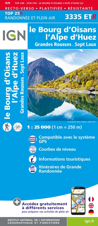
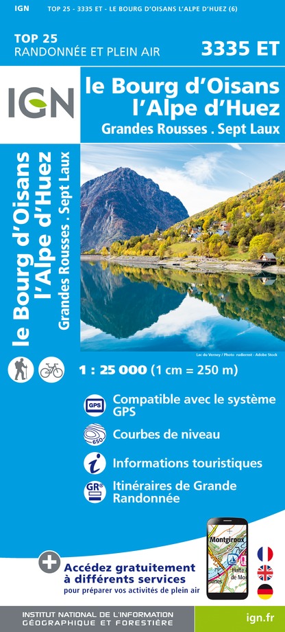
This hike gives you panoramic views over the lower part of the Eau d'Olle valley and Bourg d'Oisans. TECHNICAL INFORMATION: Departure: parking lot in the hamlet of La Traverse (Allemond) Height difference: 636 m Duration: 2h outward journey, 1h35 return journey Distance: 2.9 km (one way) Level: moderate (avoid with young children - 2 ravine crossings equipped with handrails) MAP AND TOPO : IGN TOP 25 map n°3335 EST OBP map no. 2 (Oisans au Bout des Pieds): trail 210 ITINERARY: Reach the hamlet of La Traverse (6 km from the bottom of the village) by following the road above the church. Park on the bend after La Traverse. Climb to the Chalanches hut: Take the path opposite the parking lot that enters the woods to reach point 1259 and join the signposted path. Follow it northwards, then fork left at a higher point towards Les Chalanches (signs). Continue along the Chemin de Ferret, which opens out southwards onto the Bourg d'Oisans depression. Carefully cross two ravines (Drayre Grande and Drayre Creuse), the second of which is equipped with a handrail to compensate for its regular erosion. The path continues on a balcony, then forks abruptly to the north and climbs fifty meters to a large flat where the Chalanches hut (1806m) is nestled. The view is open here, offering splendid panoramic views over the plain of Bourg d'Oisans, the Écrins and Grandes Rousses massifs, as well as the austere north face of the cime du Cornillon. You can come back down by the same or another route (210 bis on OBP map no. 2, 1h55 descent). Descent and end of the Chalanches loop: Take the signposted path to the left of the hut (west) and follow it. It descends due south over a number of short switchbacks until you reach point 1297. It then branches off to the east to make the long traverse of the south face of the Chalmettes mountain (Combettes wood) and reach the parking lot. CULTURE : The Mines de Challanches, exploited under Louis XVI, have provided a rare diversity of minerals. These ancient silver mines, located at an altitude of almost 2000 meters, were discovered by a young shepherdess in 1767. They were mined for some thirty years in the 18th century. They were famous at the time, producing up to 600 kg of silver a year. At their peak, they employed around a hundred workers, whose working conditions, given the altitude, were very difficult. The area is considered one of France's most remarkable mineralogical sites, with some sixty species of mineral discovered on site, helping to make the Oisans a world-renowned center for mineralogy.

4 h
7.7 km
Medium
38114 Allemond
Show
Coteyssart
2.6 km

Coteyssart

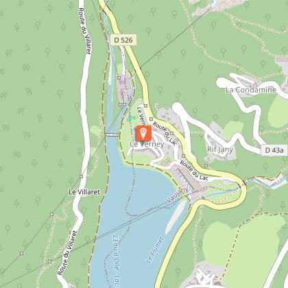
This is one of the most accessible routes in the Massif de Belledone. After a gentle climb up by road, the fast-paced descent is thrilling. With a tried and tested technique, there's nothing to fear. Itinerary from the “MTB in Oisans” guide (Oisans Tourisme) Departure/Arrival (loop) : Allemond (Lac du Verney) 770 m Length: 1 1/2 hours Distance: 13 km Highest point: 1304 m Lowest point: 770 m Total height gain: + 550 m Total height loss: - 550 m Technique: 3/4 Endurance: 3/4 Map: Top 25 Bourg d'Oisans and l'Alpe d'Huez 3335 ET > From the Lac du Verney car park, retrace your steps and take a very small path leading up to the right to the Allemond-le-Haut road. Turn right and follow this road towards the church and then follow signs to La Rivoire, Le Clot and La Traverse. The road is little-used, leading up to the Coteyssart chalets (1304 m) in around an hour. The panoramic view over the Bourg-d’Oisans plain and Les Grandes Rousses will make the time fly by. > Once at the chalets, the Coteyssart descent starts on the right, signposted «Allemond par la Combe», comprising a pleasant series of switchbacks, with some natural banking. It’s a fun, varied ride. > At La Combe, cross the road and follow signs to Le Villaret (GR 549) opposite. This short path passes between gardens and houses (watch out for local residents), before leading down to the road (D43). > On the road, turn left for 150m and go down to the right to join the path back down to the Lac du Verney. > This path offers a pleasant ride alongside the right side of the lake to the car park. > This single track is not too high and on the sunny side of the valley. It is therefore one of the first paths to open in Oisans in the spring (and the last to close in the autumn).

2 h
13 km
Medium
90 Chemin des Grands Champs 38114 Allemond
Show
Lac de Belledonne (by the Chazeau hut) - Hiking
2.7 km

Lac de Belledonne (by the Chazeau hut) - Hiking

A very pretty hike through different levels of vegetation: the forest, before a stop at the Chazeau hut, then the mountain pastures and finally the scree in a purely mineral atmosphere. The lake site is magnificent, nestled beneath the peaks. The Lac de Belledonne itinerary is one of the must-do hikes in the Eau d'Olle valley. The atmosphere is wild and the scenery magnificent, with the Belledonne range dominating the trail, including the Croix de Belledonne, and facing the Grandes Rousses and Rissiou massifs. TECHNICAL INFORMATION: Start: Coteyssart parking lot above Allemond. Ascent: 916 m Duration: 3h15 (one way) Distance: 5.3 km Level: difficult MAP AND TOPO : Carte IGN TOP 25 n°3335 ET - Bourg d'Oisans, Alpe d'Huez OBP map no. 2 (Oisans au Bout des Pieds): trails 201, 202 and 209 ROUTE : From Allemond, head towards l'Eglise, then the route de la Traverse to the Coteyssard parking lot. The path starts at the bend above the track, crosses the Coteyssard stream and continues through the forest of the same name to reach the Chazeau hut. This is the summer home of transhumant shepherds. After the hut, the trail crosses alpine pastures and blueberry bushes, then climbs to the Pas du Bessey via a moraine. The path then descends slightly, crossing a vast scree slope that bears witness to the passage of the glaciers under the Grand Charnier. At the trail junction, turn left for the final climb to the lake. You pass 2 small lakes and a waterfall descending from the lake. The lake nestles on this natural promontory. THINGS TO SEE ALONG THE WAY: Chamois can sometimes be seen in the scree area in summer. - Chazeau forest hut with rhododendrons and blueberry bushes in abundance. - Pas du Bessay at an altitude of 2,000 metres - Belledonne lake nestled on a mineral plateau.

3 h
13 km
Medium
route de Coteyssard 38114 Allemond
Show

What to do in LOISIRS ALTITUDE

See more suggestions
Relax and have fun with the available activities in LOISIRS ALTITUDE.
See more suggestions
Refuge de la Pra
7 km

Refuge de la Pra

At 2100 meters, the refuge of La Pra, close to the many clear lakes of the Massif Belledonne, will delight anglers, hikers and families. La Pra is also a wonderful pasture where you can encounter marmots, wild sheep and ibex. The refuge is a stopover on the GR 738 from Chamrousse. The surrounding peaks are often accessible in summer, either on footpaths or "off-track" for those who prefer less frequented areas (Vaudaine, Doménon, Croix de Belledonne sectors), as soon as the snow has disappeared. You are entering a Natura 2000 protected area where swimming in rivers and lakes is strictly prohibited. From the Pré Raymond parking lot, take the forest road, then a path to the left (south-east). A few hairpin bends bring you to an almost level path leading out of the forest. Cross the stream before reaching the dam and Lac du Crozet. Follow the path along the lake and up the Vallon de Mercier to the Col de la Pra. At the col, turn right (south) and descend to the refuge, 5 minutes from the col de la Pra. From Chamrousse, from the parking lot at the foot of the Grande Aiguille, follow the GR de Pays, then pass between the lakes (GR 738). Climb slightly before descending into the combe de l'Echaillon. Turn left onto the path leading to the Oursière waterfalls, then right onto the path leading to Lac David. Climb up to Lac Léama, then on to Lac Longet and Lac Claret. Climb up to the refuge. From the Recoin de Chamrousse, take the GR 738 to Lac Robert. Then follow the same route as the Croix de Chamrousse.

38420 Revel
Book from 0 €Book
Show
Cross-Country Ski Domain in Auris-en-Oisans
7 km

Cross-Country Ski Domain in Auris-en-Oisans

Situated at an altitude of 1,600 meters, the small Aurienchon Nordic ski area offers a friendly experience, away from the crowds, while enjoying exceptional panoramic views of the high peaks, including the Meije. The Auris-en-Oisans Nordic ski area is divided into 2 sectors, for 2 ambiances: → COL DE MARONNE / ROCHETTE SECTOR This sector comprises 2 runs. - A round trip from the resort to the Col de Maronne. Types of use: cross-country skiing (classic and skating) and snowshoeing. - An 8 km loop, called the Loop de la Rochette, starting from the resort. Types of activity: cross-country skiing (classic and skating), snowshoeing and dog sledding. Atmosphere: vast expanses of snow face the Alpe d'Huez resort and the peaks of the Grandes Rousses massif, including the Pic Blanc. Then the view opens out onto the Taillefer massif, and finally the Écrins. A little piece of Alaska in the Alps. Reminder: snowshoe hikers, please respect the dedicated areas. Cross-country trails are strictly reserved for skiers, who must be given priority (so that they can keep up their skiing pace). → PIÉGUT FOREST SECTOR Consisting of a single 4 km run, this trail starts at the resort. Type of activity: snowshoeing. Atmosphere: the trail winds its way through one of Europe's tallest and most beautiful spruce forests. The play of light between the snow-laden branches, the animal tracks and the peaks revealed along the way will transport you to the far north. A must-see in Auris-en-Oisans! Reminder: snowshoe hikers, please respect the designated areas. Priority must be given to skiers (so that they can keep their own pace).

38142 Auris-en-Oisans
Book from 0 €Book
Show

What to visit in LOISIRS ALTITUDE

See more suggestions
Experience the annual festivals of LOISIRS ALTITUDE.
See more suggestions
La voie de Rochetaillée
1.1 km

La voie de Rochetaillée

Rochetaillée lierally means "cut rock" in French and looking up at the road carved out of the cliff face, it is clear how the village got its name. However, the exact origin of this road appears lost in the folds of history. Is this road, as many people believe, the remains of a Roman road, the indelible mark of an unstoppable sovereign population? Or, as Doctor Roussillon suggests in his Traveller's guide to Oisans, is it "the still visible trace of a path created during the existence of the lake, along the bottom of the neighbouring mountain and behind the small hamlet of Rochetaillée, from which it draws its name. Such were the circumstances in which this path was built." An observor at the end of the 19th century reported certain similarities beween the Porte des Bons and the Rochetaillée road, suggesting a close correlation between the two. Marks and tracks on the ground were reported to be similar and of exact equal width. Unfortunately, no trace of these marks has been found since and the campaign to clear and clean the site carried out by in 2004 by "Customs and Traditions of Oisans" also failed to uncover any evidence. To better understand this, it needs to be remembered that in the last century, the plain through which the road passes was like a desert without any vegetation. Both the cliff and the plain were completely bare, meaning that it was no doubt easy at the time for witnesses to observe and note the smallest details. These days, the road is virtually covered by vegetation and in some places, you can almost walk past without noticing it. But why carve the road out of the rock? If we go along with Docteur Roussillon's theory, the creation of Saint-Laurent lake would be the only tangible reason for this project, which must have involved considerable manpower and resources. The other theory, if we consider this to be a Roman road, suggests that any rapid progress towards the high mountain passes was hindered by the neighbouring plain. Perhaps it was a swamp or a lake that was liable to flooding due to the unpredictable behaviour of the Romanche river? The size of the project to build the road would also prove the importance of the "Oisans way" in the eyes of the Romans. Along the entire length of the platform, rectangular markings are carved out of the stone at regular intervals. These suggest that a structure consisting of beams and a wooden floor covered the road, widening it from 2 metres to 3 or 4 metres and making for easier progression. At suitable points, wider platforms were installed, known as "garages" that served as passing places for animals and carts. To this day, the track linking Rochetaillée to Bourg d'Oisans, via the hamlets of La Paute and Les Sables, is known as the "Chemin Romain". Source: Freneyd'Oisans.com/Mr Albertino

38520 Le Bourg-d'Oisans
Show
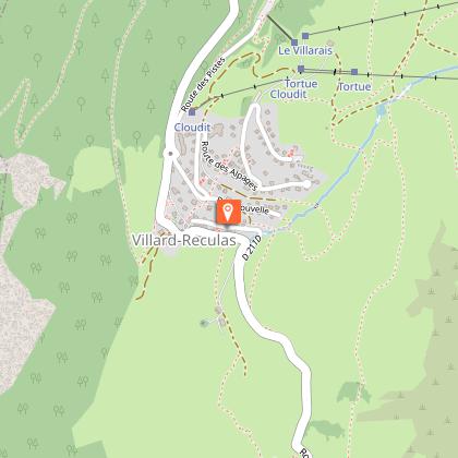
Village de Villard-Reculas
3.7 km

Village de Villard-Reculas

Villard-Reculas is in a location that is both difficult and ideal for a village. It is situated in a balcony above the valley, with fine pastureland and a south-facing exposure that is ideal for agriculture, but has always been difficult to access. There are several explanations of the origin of the name. "Reculas" from the French "reculé" meaning remote, or else "recula" as the village had to "retreat" following a major avalanche. In any case, once you're there it feels great, but you still have to get there! Oisans features a number of hard-to-reach places, but since 1980, access to Villard-Reculas has been along a good, well-maintained road. The village has undergone something of a revival following several years of rural exodus and, thanks to the welcoming inhabitants, tourism is flourishing. It has kept its traditional character with no large buildings being constructed and no concrete, but instead a farm, goats, chamois and a pretty little church with an interesting history. Indeed, the church was moved to make it easier to access in winter. As is often the case in Oisans, it was originally located just outside the village next to the cemetery, but was completely rebuilt in its current position and extended on the same occasion. The expression "village resort" takes on its full meaning here. Tin roofs, old farms made of slate (thanks to the nearby quarries), old-fashioned pastureland and an atmosphere that is unique to Oisans. Here's an interesting fact - this little village owes its water supply to a system...built by the Sarrazins in the sixth century! The "Canal des Sarrazins", which solved the crucial problem of supplying water to the village, is still working today and is THE monument in Villard-Reculas. Don't expect an aqueduct as the construction is modest but efficient, and has proved to be extremely resistant over time.

38114 Villard-Reculas
Show

Where to eat in LOISIRS ALTITUDE

See more suggestions
Restaurants in LOISIRS ALTITUDE are ready to welcome you.
See more suggestions

Where to sleep in LOISIRS ALTITUDE

See more suggestions
Book a quality accommodation in LOISIRS ALTITUDE.
See more suggestions
Refuge de la Pra
7 km

Refuge de la Pra

At 2100 meters, the refuge of La Pra, close to the many clear lakes of the Massif Belledonne, will delight anglers, hikers and families. La Pra is also a wonderful pasture where you can encounter marmots, wild sheep and ibex. The refuge is a stopover on the GR 738 from Chamrousse. The surrounding peaks are often accessible in summer, either on footpaths or "off-track" for those who prefer less frequented areas (Vaudaine, Doménon, Croix de Belledonne sectors), as soon as the snow has disappeared. You are entering a Natura 2000 protected area where swimming in rivers and lakes is strictly prohibited. From the Pré Raymond parking lot, take the forest road, then a path to the left (south-east). A few hairpin bends bring you to an almost level path leading out of the forest. Cross the stream before reaching the dam and Lac du Crozet. Follow the path along the lake and up the Vallon de Mercier to the Col de la Pra. At the col, turn right (south) and descend to the refuge, 5 minutes from the col de la Pra. From Chamrousse, from the parking lot at the foot of the Grande Aiguille, follow the GR de Pays, then pass between the lakes (GR 738). Climb slightly before descending into the combe de l'Echaillon. Turn left onto the path leading to the Oursière waterfalls, then right onto the path leading to Lac David. Climb up to Lac Léama, then on to Lac Longet and Lac Claret. Climb up to the refuge. From the Recoin de Chamrousse, take the GR 738 to Lac Robert. Then follow the same route as the Croix de Chamrousse.

38420 Revel
Book from 0 €Book
Show
Le Chamois - Gîte auberge
13 km

Le Chamois - Gîte auberge

Located at the top of a pass at 1371m above sea level, natural border between Oisans and Matheysine, surrounded by massifs renowned for their wild and majestic character, this large chalet in wood cladding will offer you all the comfort for an unforgettable stay . Inside, its 7 bedrooms and 6 shower rooms can comfortably accommodate up to 25 people. The living room with typical mountain decoration and its large bays which open onto nature, the wood stove, the large professional kitchen offer you the ideal conditions for good moments of conviviality. Outside, a large "high" terrace facing west on the imposing Pic de l'Armet and a south-facing garden terrace on the Ecrins massif where you can enjoy the calm and surrounding beauty, bright colors of the seasons , on a lounge chair in the sun or on the ball field, or even at the table with your loved ones for an XXL barbecue… And everything is ready to facilitate relaxation and the practice of your favorite sports: A boiler room for your shoes on return from hikes, a secure ski room, a shed for motorcycles, a garage for bikes. Leave your vehicle in the private car park and experience your vacation…. Benefit without supplement: Indoor games, library, table football Petanque ground in the garden Orientation course (maps offered at the chalet) Departures for hikes of all levels (on foot, on horseback or by bicycle) Water sports And in winter, ski touring, cross-country skiing or downhill skiing. Marked snowshoe trail.

6810 route du Grand Armet Col d'Ornon 38740 Chantelouve
Show
Caution!
We have no information on the difficulty of this circuit. You may encounter some surprises along the way. Before you go, please feel free to inquire more and take all necessary precautions. Have a good trip! 🌳🥾