Tours
Activities
Places of interest
Where to eat
Where to sleep
Marseillette, Aude, Languedoc-Roussillon
Are you in charge of the destination?Nestled in the heart of Aude in the beautiful Languedoc-Roussillon region, Marseillette is a charming town that captivates with its authenticity and exceptional natural setting. This small town, surrounded by vineyards and canals, is a true haven for nature lovers and wine tourism enthusiasts. The Canal du Midi, a UNESCO World Heritage site, runs through Marseillette, offering scenic walks and rel...See more
Walking around Marseillette
See more suggestionsEnjoy pleasant walks in Marseillette.
See more suggestions


")

What to do in Marseillette
See more suggestionsActivities for all tastes await you in Marseillette, book them today.
See more suggestions


IGN cards

2446SB - CAPENDU FERRALS-LES-CORBIÈRES
Editor : IGN
Collection : TOP 25 ET SÉRIE BLEUE
Scale : 1:25 000
13.90€
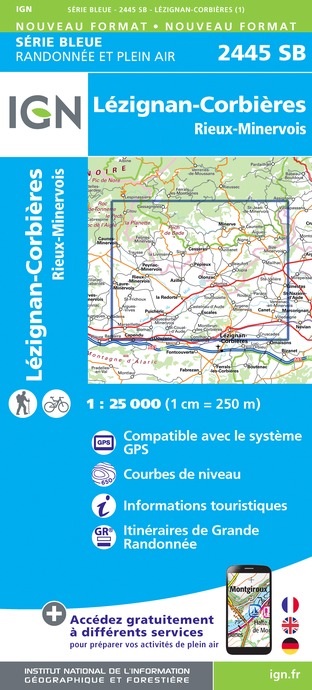
2445SB - LÉZIGNAN-CORBIÈRES RIEUX-MINERVOIS
Editor : IGN
Collection : TOP 25 ET SÉRIE BLEUE
Scale : 1:25 000
13.90€

TOP100D11 - AUDE CARCASSONNE NARBONNE LIMOUX QUILLAN CANAL DU MIDI
Editor : IGN
Collection : TOP 100
Scale : 1:100 000
8.40€
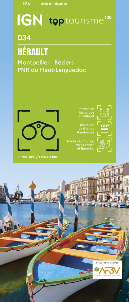
TOP100D34 - HÉRAULT MONTPELLIER BÉZIERS PNR DU HAUT-LANGUEDOC
Editor : IGN
Collection : TOP 100
Scale : 1:100 000
8.40€

TOP100D66 - PYRÉNÉES-ORIENTALES PERPIGNAN PRADES CÉRET CÔTE VERMEILLE PNR DES PYRÉNÉES CATALANES
Editor : IGN
Collection : TOP 100
Scale : 1:100 000
8.40€

89031 - LE CANAL DU MIDI
Editor : IGN
Collection : DECOUVERTE DES CHEMINS
Scale : 1:100 000
9.10€

D09-66 ARIÈGE PYRÉNÉES-ORIENTALES
Editor : IGN
Collection : CARTES DÉPARTEMENTALES IGN
Scale : 1:150 000
5.90€

D11-81 AUDE TARN
Editor : IGN
Collection : CARTES DÉPARTEMENTALES IGN
Scale : 1:150 000
5.90€

D30-34 GARD HÉRAULT
Editor : IGN
Collection : CARTES DÉPARTEMENTALES IGN
Scale : 1:150 000
5.90€

EUROPE
Editor : IGN
Collection : DÉCOUVERTE DES PAYS DU MONDE IGN
Scale : 1:2 500 000
7.00€
What to visit in Marseillette
See more suggestionsSavor the local cuisine of Marseillette.
See more suggestions


Where to eat in Marseillette
See more suggestionsChefs in Marseillette will delight you.
See more suggestions


Where to sleep in Marseillette
See more suggestionsDiscover the best lodging options in Marseillette.
See more suggestions


")
