Tours
Activities
Places of interest
Where to eat
Where to sleep
Cassis, Bouches-du-Rhône, Provence-Alpes-Côte d'Azur
Are you in charge of the destination?Nestled between the stunning cliffs of the Calanques and the turquoise waters of the Mediterranean, Cassis is a hidden gem of the Provence-Alpes-Côte d'Azur region. This charming fishing village captivates with its picturesque harbor, lined with colorful houses where fishing boats sit alongside luxury yachts. Stroll through the cobblestone streets to discover artisanal shops, restaurants serving l...See more


What to do in Cassis
See more suggestionsPlan your leisure time in Cassis by booking activities that suit your preferences.
See more suggestions


IGN cards
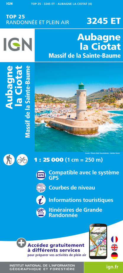
3245ET - AUBAGNE LA CIOTAT MASSIF DE LA SAINTE-BAUME
Editor : IGN
Collection : TOP 25 ET SÉRIE BLEUE
Scale : 1:25 000
13.90€

TOP75035 - PROVENCE SAINTE VICTOIRE ST BAUME CALANQUES
Editor : IGN
Collection : TOP 75
Scale : 1:75 000
9.80€

TOP100D83 - VAR TOULON FRÉJUS MASSIFS DES MAURES ET DE L'ESTEREL PARC NATUREL RÉGIONAL DU VERDON
Editor : IGN
Collection : TOP 100
Scale : 1:100 000
8.40€

TOP100D13 - BOUCHES-DU-RHÔNE MARSEILLE AIX-EN-PROVENCE PARC NATIONAL DES CALANQUES PNR DES ALPILLES ET DE CAMARGUE
Editor : IGN
Collection : TOP 100
Scale : 1:100 000
8.40€

D83 VAR
Editor : IGN
Collection : CARTES DÉPARTEMENTALES IGN
Scale : 1:150 000
5.90€

D13-84 BOUCHES-DU-RHÔNE VAUCLUSE
Editor : IGN
Collection : CARTES DÉPARTEMENTALES IGN
Scale : 1:150 000
5.90€

NR16 PROVENCE-ALPES-CÔTE D'AZUR
Editor : IGN
Collection : CARTES RÉGIONALES IGN
Scale : 1:250 000
6.80€

EUROPE
Editor : IGN
Collection : DÉCOUVERTE DES PAYS DU MONDE IGN
Scale : 1:2 500 000
7.00€
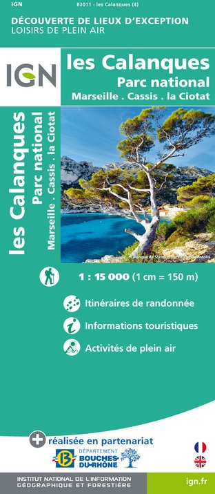
82011 - LES CALANQUES DE MARSEILLE À CASSIS
Editor : IGN
Collection : DÉCOUVERTE DE LIEUX D’EXCEPTION
Scale : 1:15 000
9.95€
What to visit in Cassis
See more suggestionsTaste the culinary specialties of Cassis.
See more suggestions


Where to eat in Cassis
See more suggestionsRestaurants in Cassis will captivate you.
See more suggestions


Where to sleep in Cassis
See more suggestionsChoose from a variety of lodgings in Cassis.
See more suggestions


