Tours
Activities
Places of interest
Where to eat
Where to sleep

Le Riou Merle Sarl: Discover Die's Natural Splendor

Are you the owner?
Experience the wonders of the Die region, nestled in the breathtaking Drôme, Rhône-Alpes. From Le Riou Merle SARL, embark on an adventure through the stunning landscapes of the Vercors Regional Natural Park, where endless hiking trails and awe-inspiring views await. Wine enthusiasts will revel in the region’s famed Clairette de Die; a tour of local vineyards for an unforgettable tasting is a must....See more

Walking around LE RIOU MERLE SARL

See more suggestions
Stroll through the walking routes of LE RIOU MERLE SARL.
See more suggestions
The Pison - Chabrinel pass
7.9 km

The Pison - Chabrinel pass

Discover the northern plateau of the Glandasse mountain, an unforgettable getaway in the Hauts-Plateaux du Vercors Nature Reserve. 1.">Departure from Fournaire (parking), take the forest road to join Les Drayes 1. 2, atteindre par un joli sentier en forêt le Pas de Pillouse 3, poursuivre jusqu'au Col de Vire Sac.">Then take the direction of the Col de Vire Sac 2, reach by a nice path in the forest the Pas de Pillouse 3, continue until Col de Vire Sac. 4.">From there, follow the itinerary that goes towards the North, to pass near the characteristic rock of the Dent de Die, before arriving at the crossroads of Lentillière 4. 5, pour déboucher un peu plus haut à Pison 6 sur le plateau (attention vous pénétrez dès lors dans la Réserve naturelle des">Continue on the trail in the balcony (always yellow-green markings), passage to the shelter of the Pison 5, to unbuckle a little higher to Pison 6 on the plateau (attention you penetrate then in the Natural reserve of the High plateaux of the Vercors, with a specific regulation to know and respect!). 7.">Now take the route of GR 91 and 93 (white-red markings), running north to Pré Peyret 7. At Pré Peyret, take the GR 93 direction of the Col du Rousset until the Pré Peyret shelter. From here, take the path leading to the Pas de Chabrinel to the south, before gradually starting the descent, towards Romeyer (pay attention to certain passages in the scree, especially in rainy weather). 8, Serre Reynier 9 et Les Echaliers 10 , un chemin puis une piste forestière permet de terminer cette grande randonnée par Le Château">Follow the yellow-green markup to the parking of Fournaire, passing at the crossroads Les Gravelles 8, Serre Reynier 9 and Les Echaliers 10, a path then a forest trail allows to finish this great hike by Le Château 11 et Les Drayes.">11 and Les Drayes.

6 h
15 km
Easy
Show
The vineyard path
10 km

The vineyard path

This short pleasant walk takes you through the many vineyards that make up the charming vineyard of Châtillon en Diois. Departure from the Cabanon du Maupas (parking in front of the cellar), take the direction of Châtillon-en-Diois. Always follow the yellow and green markings between the directional signs, take the road for a hundred meters before turning right, between vineyards and crops, then reach a crossroads where a directional panel invites you to continue the walk.1 et le Serre du Poêt 2, ici une halte s'impose. ">The route goes to the right, to reach the Cabanon du Poet 1 and the Serre du Poêt 2, here a stop is required.3 et le Ruisseau du Pibou 4, avant de prendre la direction du Cabanon du Poêt pour rejoindre Beylière 5 et Les Cerisiers 6.">This discovery of the vineyard of Châtillon and its characteristic huts continues through Barsac 3 and the Ruisseau du Pibou 4 before heading towards the Cabanon du Poêt to join Beylière 5 and Les Cerisiers 6. 7 puis le Cabanon du Poêt, le Cabanon du Maupas, le point de départ de la promenade n'est alors plus très loin. ">To finish the discovery of this vineyard through Les Quatre Chemins 7 then the Cabanon du Poêt, the Cabanon of the Maupas, the starting point of the walk is no longer very far.This itinerary is flexible to your convenience. There are several paths in the vineyards that can be borrowed, it is up to you to compose your itinerary in the middle of the vineyards and the numerous sheds.

2 h
4.1 km
Very easy
Show
The Grand Veymont from the Beure plateau
10 km

The Grand Veymont from the Beure plateau

Go and conquer the Grand Veymont, the main and emblematic summit of the Vercors with its 2,341 meters. This unforgettable walk offers you some of the most beautiful landscapes of the Vercors. The departure of this magnificent hike takes place at the Parking de Beure. 1, où une magnifique vue sur le massif vous attend.">Climb towards the Belvedere 1, where a magnificent view of the massif is waiting for you. 3 par le GR 93, en passant par le Pas des Econdus 2.">From there, follow Pre Peyret 3 by the GR 93, passing by the Pas des Econdus 2. Be careful, you will enter the Hauts-Plateaux du Vercors Nature Reserve. Open to all, this space of freedom requires to be protected, respected and placed under the benevolence of each visitor. Voluntarily low development and restricted mark-up require some commitment on the ground. From Pre Peyret, the path is no longer marked, but is well marked, continue east-northeast, you will gradually climb to reach the vast plain of Queyrie. Continue on your way to the northeast (well-marked path), Mont-Aiguille will then offer you to the east, after a short descent join the foot of the Grand Veymont (towards the north) which stands in front you. 4 à 2341 m.">The path goes up in laces, then in a more rectilinear way to reach the summit 4 at 2341 m. 5 présente quelques passages délicats.">The descent towards the Pas de la Ville 5 presents some delicate passages. 6 et le GR91, suivre le GR vers le sud pour une longue traversée des Haut-plateaux (8 km) et rejoindre Pré Peyret.">From the Pas de la Ville, take the direction of the west, to join La Chau 6 and the GR91, follow the GR towards the south for a long crossing of Haut-plateaux (8 km) and join Pré Peyret. From there, the return journey takes place on the same route as on the way.

11 h
31 km
Easy
Show
Archeotrail : the craftsmen of Prehistory
12 km

Archeotrail : the craftsmen of Prehistory

From the Museum of Prehistory, you will walk up to the ridges of Vassieux where you will have a wide panorama on the Diois and the high plateaux of the Vercors.From the But Saint-Genix to the Vassieux pass and from west to east, you can gaze at the vast lawns of Font d'Urle and Ambel where Mesolithic (9,500-5,500 BC) and Neolithic archaeological sites (5 500-2 500 BC) were uncovered.Circuit developed in partnership with Departure from the Museum of Prehistory, direction Col de Vassieux 8. Take the road to Espeline 1, a strategic crossroads where the GR 93 and the Grandes Traversées du Vercors (GTV) intersect. From there, continue south and pass through Fontaine du Lauset 2 then Les Taillis 3. Leave the forest road to enter the forest and climb gradually to Coras 4, temporarily take the forest road again and reach the Fontaine du Plainet 5 and the Plainet crossroads 6. Take the itinerary on the right which leads to the shelter of the pass of Vassieux (unguarded hut open to the public) after about ten minutes. Still a few steps and the directional panel Entrecols 7 is in sight, with a breathtaking panorama over part of the Diois valley in particular. Here, clearly a pause is needed!The hike continues along the ridge to reach the Col de la Chau 8, then Champ Rolland 9 before reaching the Saint-Genix Butte 1,643 meters 10, the highest point of this circuit And breathtaking views of the valley of Quint below. The path then leaves full north to reach, two kilometers away, the Pas Bouillanain 11 and continues its route towards the Crest of the Clots 12 passing by Pas de l'Ours.At this junction, start the return to the Museum of Prehistory on the descent, taking the GR 93 on the right. Pass through Piarrou 13 and then at Espeline 14 take on the left, the last straight to the Museum .Find more information in the guide Vercors, land of prehistory, available in bookshop and in the shop of the Park

4 h
13 km
Very easy
Show

What to do in LE RIOU MERLE SARL

See more suggestions
Choose from a variety of activities in LE RIOU MERLE SARL and book your favorites.
See more suggestions

IGN cards

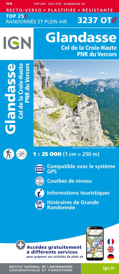
3237OTR - GLANDASSE RESISTANTE COL DE LA CROIX-HAUTE PNR DU VERCORS
Editor : IGN
Collection : TOP 25 RÉSISTANTE
Scale : 1:25 000
17.20€
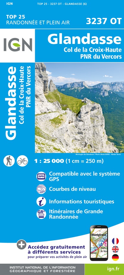
3237OT - GLANDASSE COL DE LA CROIX-HAUTE PNR DU VERCORS
Editor : IGN
Collection : TOP 25 ET SÉRIE BLEUE
Scale : 1:25 000
13.90€
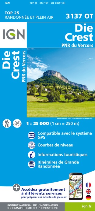
3137OT - DIE CREST PNR DU VERCORS
Editor : IGN
Collection : TOP 25 ET SÉRIE BLEUE
Scale : 1:25 000
13.90€
TOP75009 - DIOIS DEVOLUY HAUTE VALLEE DE LA DROME
Editor : IGN
Collection : TOP 75
Scale : 1:75 000
9.80€
TOP75001 - MASSIF DU VERCORS
Editor : IGN
Collection : TOP 75
Scale : 1:75 000
9.80€
VEL01 - LA DRÔME A VELO
Editor : IGN
Collection : DECOUVERTE A VELO
Scale : 1:105 000
9.10€
TOP100D26 - DRÔME VALENCE MONTÉLIMAR DIE PNR DES BARONNIES PROVENÇALES PNR DU VERCORS
Editor : IGN
Collection : TOP 100
Scale : 1:100 000
8.40€
D38 ISÈRE
Editor : IGN
Collection : CARTES DÉPARTEMENTALES IGN
Scale : 1:150 000
5.90€
D04-05 ALPES-DE-HAUTE-PROVENCE HAUTES-ALPES
Editor : IGN
Collection : CARTES DÉPARTEMENTALES IGN
Scale : 1:150 000
5.90€
D07-26 ARDÈCHE DRÔME
Editor : IGN
Collection : CARTES DÉPARTEMENTALES IGN
Scale : 1:150 000
5.90€
NR14 AUVERGNE-RHÔNE-ALPES RECTO/VERSO MASSIF CENTRAL
Editor : IGN
Collection : CARTES RÉGIONALES IGN
Scale : 1:250 000
6.80€
NR16 PROVENCE-ALPES-CÔTE D'AZUR
Editor : IGN
Collection : CARTES RÉGIONALES IGN
Scale : 1:250 000
6.80€
NR15 AUVERGNE-RHÔNE-ALPES RECTO/VERSO MASSIF ALPIN
Editor : IGN
Collection : CARTES RÉGIONALES IGN
Scale : 1:250 000
6.80€
EUROPE
Editor : IGN
Collection : DÉCOUVERTE DES PAYS DU MONDE IGN
Scale : 1:2 500 000
7.00€

What to visit in LE RIOU MERLE SARL

See more suggestions
Relax in the parks of LE RIOU MERLE SARL.
See more suggestions

Where to eat in LE RIOU MERLE SARL

See more suggestions
Establishments in LE RIOU MERLE SARL offer dishes for all tastes.
See more suggestions

Where to sleep in LE RIOU MERLE SARL

See more suggestions
Explore lodging possibilities in LE RIOU MERLE SARL.
See more suggestions
Caution!
We have no information on the difficulty of this circuit. You may encounter some surprises along the way. Before you go, please feel free to inquire more and take all necessary precautions. Have a good trip! 🌳🥾