Tours
Activities
Places of interest
Where to eat
Where to sleep
Discover Aureille, Bouches-du-Rhône, Provence
Are you in charge of the destination?Nestled in the heart of the Alpilles Natural Park, Aureille, Bouches-du-Rhône, Provence-Alpes-Côte d'Azur, is a perfect destination for nature and heritage enthusiasts. Start your visit with a stroll through the picturesque streets of the village, where you can admire stone houses and a church dating back to the 18th century. Hiking enthusiasts will be delighted by the numerous trails nearby, incl...See more
Walking around Aureille
See more suggestionsDiscover the nature of Aureille on foot.
See more suggestions


What to do in Aureille
See more suggestionsBook your activities in Aureille now and get ready for adventure.
See more suggestions


IGN cards
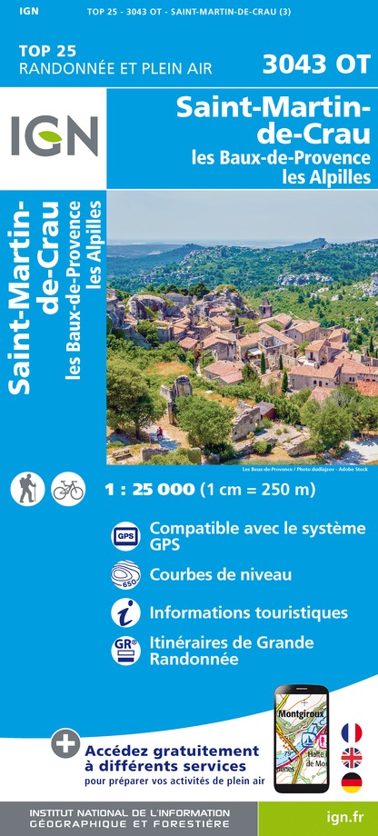
3043OT - SAINT-MARTIN-DE-CRAU LES BAUX-DE-PROVENCE LES ALPILLES
Editor : IGN
Collection : TOP 25 ET SÉRIE BLEUE
Scale : 1:25 000
13.90€

TOP75033 - CAMARGUE ALPILLES
Editor : IGN
Collection : TOP 75
Scale : 1:75 000
9.80€

VEL03 - LE VAUCLUSE A VÉLO
Editor : IGN
Collection : DECOUVERTE A VELO
Scale : 1:100 000
9.10€

TOP100D13 - BOUCHES-DU-RHÔNE MARSEILLE AIX-EN-PROVENCE PARC NATIONAL DES CALANQUES PNR DES ALPILLES ET DE CAMARGUE
Editor : IGN
Collection : TOP 100
Scale : 1:100 000
8.40€

TOP100D84 - VAUCLUSE AVIGNON CARPENTRAS PARCS NATURELS RÉGIONAUX DU LUBERON ET DU MONT-VENTOUX
Editor : IGN
Collection : TOP 100
Scale : 1:100 000
8.40€

D13-84 BOUCHES-DU-RHÔNE VAUCLUSE
Editor : IGN
Collection : CARTES DÉPARTEMENTALES IGN
Scale : 1:150 000
5.90€

D30-34 GARD HÉRAULT
Editor : IGN
Collection : CARTES DÉPARTEMENTALES IGN
Scale : 1:150 000
5.90€

NR16 PROVENCE-ALPES-CÔTE D'AZUR
Editor : IGN
Collection : CARTES RÉGIONALES IGN
Scale : 1:250 000
6.80€

EUROPE
Editor : IGN
Collection : DÉCOUVERTE DES PAYS DU MONDE IGN
Scale : 1:2 500 000
7.00€


Where to eat in Aureille
See more suggestionsFood enthusiasts will love Aureille's restaurants.
See more suggestions


Where to sleep in Aureille
See more suggestionsStay at one of the many hotels in Aureille.
See more suggestions


