Tours
Activities
Places of interest
Where to eat
Where to sleep
Discover the charms of Rupt-sur-moselle in the Vosges
Are you in charge of the destination?Located in the heart of the Vosges mountains, Rupt-sur-moselle is an ideal stop for nature lovers and those seeking tranquility. Enjoy numerous hiking trails that offer breathtaking views of the surrounding mountains and forests. Cycling enthusiasts will be delighted by the scenic bike paths that weave through stunning landscapes. For moments of relaxation, stop by the banks of the Moselle River, ...See more
Walking around Rupt-sur-moselle
See more suggestionsWalk through the natural landscapes of Rupt-sur-moselle.
See more suggestions


What to do in Rupt-sur-moselle
See more suggestionsMake your stay in Rupt-sur-moselle special by booking activities.
See more suggestions


IGN cards
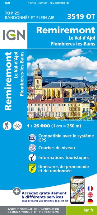
3519OT - REMIREMONT LE VAL-D'AJOL PLOMBIÈRES-LES-BAINS
Editor : IGN
Collection : TOP 25 ET SÉRIE BLEUE
Scale : 1:25 000
13.90€

TOP75028 - VOSGES DU SUD BALLON D'ALSACE LE HOHNECK
Editor : IGN
Collection : TOP 75
Scale : 1:75 000
9.80€

130 VESOUL LANGRES VALLÉE DE LA SAÔNE
Editor : IGN
Collection : TOP 100
Scale : 1:100 000
8.40€

TOP100D68 - HAUT-RHIN TERRITOIRE DE BELFORT COLMAR MULHOUSE BELFORT PNR DES BALLONS DES VOSGES
Editor : IGN
Collection : TOP 100
Scale : 1:100 000
8.40€

TOP100D70 - HAUTE-SAÔNE VESOUL LURE VALLÉE DE LA SAÔNE
Editor : IGN
Collection : TOP 100
Scale : 1:100 000
8.40€

TOP100D88 - VOSGES ÉPINAL NEUFCHÂTEAU ST-DIÉ-DES-VOSGES GÉRARDMER PNR DES BALLONS DES VOSGES
Editor : IGN
Collection : TOP 100
Scale : 1:100 000
8.40€

201 ALSACE MASSIF DES VOSGES
Editor : IGN
Collection : TOP 200
Scale : 1:200 000
6.80€

89032 - LA TRAVERSEE DES VOSGES
Editor : IGN
Collection : DECOUVERTE DES CHEMINS
Scale : 1:100 000
9.10€

D67-68 BAS-RHIN HAUT-RHIN
Editor : IGN
Collection : CARTES DÉPARTEMENTALES IGN
Scale : 1:150 000
5.90€

D70-88-90 HAUTE-SAÔNE VOSGES TERRITOIRE DE BELFORT
Editor : IGN
Collection : CARTES DÉPARTEMENTALES IGN
Scale : 1:150 000
5.90€

NR09 BOURGOGNE FRANCHE-COMTÉ
Editor : IGN
Collection : CARTES RÉGIONALES IGN
Scale : 1:250 000
6.80€

EUROPE
Editor : IGN
Collection : DÉCOUVERTE DES PAYS DU MONDE IGN
Scale : 1:2 500 000
7.00€

ALLEMAGNE
Editor : IGN
Collection : DÉCOUVERTE DES PAYS DU MONDE IGN
Scale : 1:800 000
7.00€
What to visit in Rupt-sur-moselle
See more suggestionsDiscover the nightlife of Rupt-sur-moselle.
See more suggestions


Where to eat in Rupt-sur-moselle
See more suggestionsExplore the best dining spots in Rupt-sur-moselle.
See more suggestions


Where to sleep in Rupt-sur-moselle
See more suggestionsFind a comfortable stay in Rupt-sur-moselle.
See more suggestions


