Tours
Activities
Places of interest
Where to eat
Where to sleep

Unique discoveries near Lablachere, Ardeche

Are you in charge of the destination?
Nestled in the heart of the Ardeche, Lablachere is a perfect destination for nature lovers and cultural enthusiasts. Start your exploration with a stroll through the picturesque village of Lablachere and soak up its authentic atmosphere. Just nearby, the Gorges de l'Ardèche offers a spectacular landscape, ideal for hiking or a canoe trip down its rushing waters.

Continuing your adventure, you'll ...
See more

Walking around Lablachere

See more suggestions
Accessible hikes near Lablachere.
See more suggestions
Les Flaüts
3.1 km

Les Flaüts

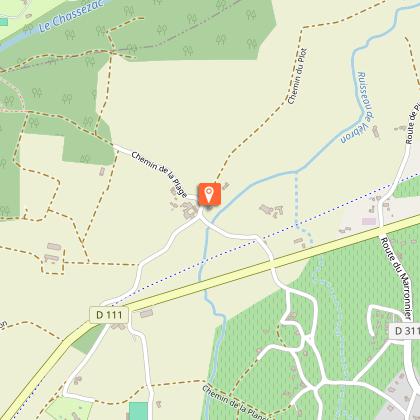
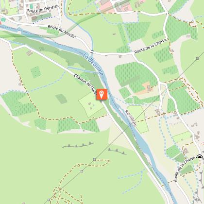
On the first slopes of the Cévennes, the hamlets and houses of Ribes are spread along “faïsses” or terraces, home to vines and olive trees. P - Turn left opposite the signpost. Follow the tarmac road for a few metres and turn right onto a dirt track, then turn left down the steps to the Alune stream. Cross the stream at a ford, turn right and walk along the river until you reach a small submersible bridge where you can cross back over the stream. Twenty metres after the bridge, turn right onto a path that leads up to the village through chestnut trees and vineyards. When you reach the tarmac road, turn left to leave the hamlet. Before the bridge, turn right between the houses and go up to the street. Turn left to Mas de Laffont.   Mas de Laffont - Follow Prades 2,6 km, Ribes 0,6 km. Pass the Flaüts fountain and then take the tarmac road to the right. At the hairpin bend, turn right. After a bend, pass the rubbish collection point, take a path on the left that climbs between the vines.  Cross over the tarmac road and take the steps between the houses up to the church in the middle of Ribes.  Ribes - Follow Prades 2 km, Saint André Lachamp 6,9 km. When you reach the first houses, turn left to take a small alley in the hamlet of Les Clots. Take the tarmac road at the hairpin bend. Take the road to the left that goes up to Le Serre.  Le Serre - Follow Prades 1,4 km. The road winds upwards to the last houses. The trail continues via steps on the side of the mountain and then curves right. As you begin to descend, ignore the track to your left and continue along the path. After descending, join the track, and go left until you get to Prades.   Prades - Follow Info Rando 2,7 km, Ribes 1,6 km. Continue along the path on the right. About 100m further on, take the path that leads to the hamlet of Labeaume. Pass through the entire hamlet then carry on until you reach the hamlet of Le Gelly via the tarmac road.   Le Gelly - Follow Info rando 1,2 km, Joyeuse 4,5 km. Take the road and at the first crossroads, go right. Continue straight on until you’re level with a stone cross. After a chestnut grove, at the stone cross, leave the road via a “calade” or stone path down to Le Prat.  Le Prat - Follow Info rando 0,6 km. At the crossroads, go down the steps on the left and follow the path that brings you back to the multi-purpose hall.  

3 h
6.6 km
Easy
Show
Interpretive path of the Naves Cirques
11 km

Interpretive path of the Naves Cirques

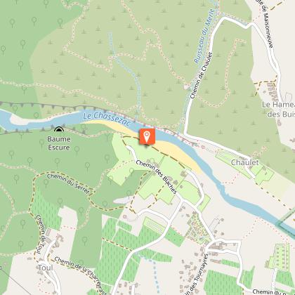
This beautiful hike takes you on the interpretive path of Naves, a typical village, to discover landscapes and the link between geological and human history. From the cemetery parking lot, the path starts on the right and climbs towards the Serre du Cocu (cuckold ridge) where a first stop will allow you to enjoy the Naves Cirques, and where you will find the first interpretive board about Jurassic limestone and marl. Continue on the path up to the reservoir above the cemetery. A new board is waiting for you. Continue on the path along the side of the Serre du Cocu. (new board on the Serre de Barre) up to a pass from which the view on the Chassezac Valley is stunning. At the crossways, turn right up to the Alauzas road where you will find stops 5 and 6, presenting the Orcières Fault and a stratigraphic cross-section. Follow the tarmacked road on your left up to the hamlet. On your way, admire the gorgeous chesnut grove (stop 7). At the hamlet, take the path on your left. Carry on straight ahead. Stop 8 is about terraces and water management on the slope. The path goes downhill towards Naves, first through a chesnut grove, then in a coniferous undergrowth. Lower, those plants give way to maquis (stop 9). After stop 10, devoted to karst, the path goes out of the woods onto an overhang above the Bourdaric Brook (be very cautious!). Continue leisurely your way down towards Naves (stop 11), while enjoying the sights on the village and Southern Ardèche. Take some time to tour Naves, a pleasant typical village with authentic narrow streets, then take the tarmacked road again down to the cemetery parking lot, your starting point.

3 h
3.7 km
Easy
Show
Sentier des Lauzes (flagstone path)
11 km

Sentier des Lauzes (flagstone path)

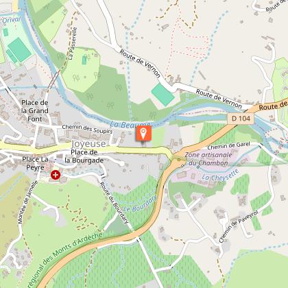
This artistic and natural path in the Drobie Valley, the renowned Sentier des Lauzes (flagstone path) is designed for those who love hiking, art, or just nature. It will enable you to discover the magnificent landscapes of the valley, interspersed with works of art. Head towards the city hall and past it on a narrow tarmacked road following the arrow "Saint-Régis 6 km, Dompnac 8.4 km". Continue on this road. After a tight bend to the right, and another one to the left, leave the road and take a path going left just before the end of the road. Carry on up to the place called the Eyrolle and take the direction of "Saint-Régis 5.1 km, Dompnac 7.5 km" on a goat track that forms a hairpin bend in front of a gate before leading to the road. Cross the road and take a calade (cobblestone path) going uphill to the right in front of houses. The path goes back to the road and crosses it again. Go up above the road and take the calade uphill on your right, overlooking the Pourcharesse Valley, and crossing the gorgeous landscapes of vineyards and chesnut groves terraces. You will then discover the first "oto-date", a place to listen, installed here in 2007 by the Japanese artist Akio Suzuki; after that will come two "Chambres d'Ecoute" and other "oto-dates" scattered along the path and on neighbouring ridges or valleys. Under the place called the Elzière, the path goes past "Paroles de lauzes" by Domingo Cisneros. After an impressive hillside planted with vines, the path overlooks "l'Echappée", haven-studio built by the association to receive artists, researchers, students, and anyone who wishes to immerse oneself in this powerful landscape (please do not disturb the residents when someone lives there). After that, the path leads to a track and goes downhill to the Vernet's small bridge where you will find "Silence de Lauzes - groupe 1" by Christian Lapie. The path continues across a terraced hillside, covered with old vines. It then enters an undergrowth, crosses a brook and goes up again towards houses. Go below them, then take the road on the right up to Le Vernet crossways. Continue towards "Saint-Régis 3.1 km, Dompnac 5.5 km" on a path going uphill in the undergrowth up to the hamlet of l'Adreyt. Below the houses, continue on the track that makes a loop and comes back towards the houses. In front of the house, leave the track and take a narrow path going uphill on the left and leading to another track just before the Travers hamlet. Take it on the right, then cross it to take a calade uphill on the right of the hamlet. Cross the road. After the last houses, turn left, then right, and continue uphill. You will reach a track on the ridge above the valleys of Saint-Mélany and Dompnac up to the Grimal Cross. (pay attention to the "oto-date" a little before the Cross). The track goes along the foot of a schist slab overlooked by "Silence de lauzes groupe 2". Then a board on your right invites you to visit the "Belvédère des lichens", by the landscape architect Gilles Clément, to admire the valley and discover the lichens' mysteries. The belvedere also offers a panorama on the Sueille Valley, the Ondes summit to the West and the Cheylard summit to the North. Continue on the track up to the chapel of Saint-Régis. Once at the chapel, take the direction of "Dompnac 2.4 km" up to the Croix des Lèbres. The markings are now white and yellow. After 100 m, at the crossways "la Croix des Lèbres", follow "Dompnac 2.3 km". The path goes down along the slope, winding among undergrowth and heath up to Le Théron. At the crossways, go straight ahead towards "Dompnac 0.8 km". The path goes downhill then turns right and crosses a track. It goes below houses before entering Dompnac. At the village entry, turn left up to the church and the city hall. Leave Dompnac on the departmental road. Continue on it past a cross. About 200 m after the cross, take the bridge across the brook. Continue on the road for 500 m. Then take a path on the right. It goes uphill in the undergrowth up to Lachamp de Merle. At the crossways of Lachamp de Merle, follow "Saint-Mélany 5.2 km". The path soon goes downhill to the houses of Lachamp de Merle. Go through the hamlet, and up to the departmental road. Follow it on the right, through the Merle hamlet. After the last houses on the left, take the road on the left. In the hairpin bend, leave the road and go straight ahead on a path going down to the bottom of the valley. Cross a first brook, then turn right to ford the Sueille River. Continue on the right on the path that goes along the river and old irrigation canals. Don't take the paths going right or left, carry on straight ahead up to the La Coste hamlet. Just before it, a thin cobblestone line across the path invites you to go down in a chesnut grove to discover the art installation by Ivo Provoost and Simona Denicolai (to discover what is inside it, you have to buy a key at the restaurant Au Bon Port in Saint-Mélany). At the La Coste hamlet, take the tarmacked road leading to the departmental road, then turn left in the hairpin bend, and continue towards Le Chambon. At Le Chambon crossways, turn left on the road D420 towards "Saint-Mélany 0.4 km" and follow it up to your starting point.

5 h
14 km
Easy
Show

What to do in Lablachere

See more suggestions
Plan your leisure time in Lablachere by booking activities that suit your preferences.
See more suggestions
Where to eat in Lablachere

See more suggestions
Restaurants in Lablachere will captivate you.
See more suggestions

Where to sleep in Lablachere

See more suggestions
Enjoy your stay with accommodations in Lablachere.
See more suggestions
Camping Chaulet Village
6.4 km

Camping Chaulet Village

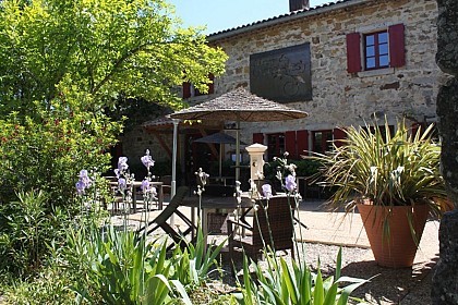
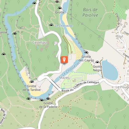
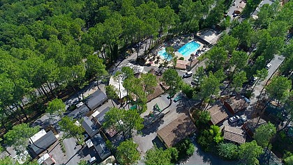
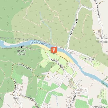
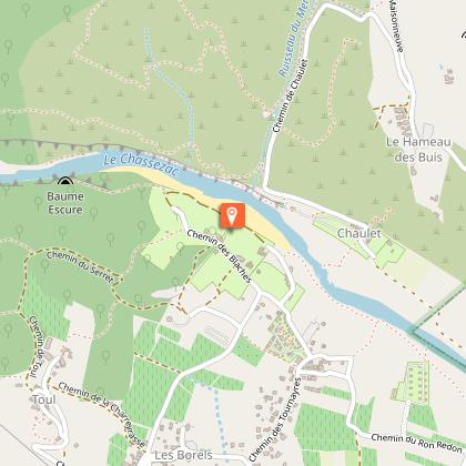
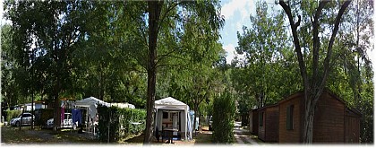
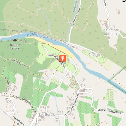
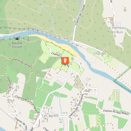
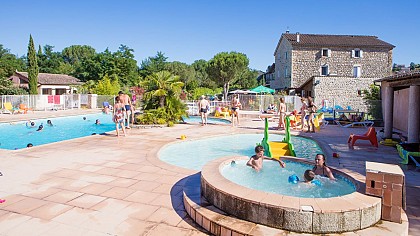
Shaded campsite on the riverbank with climbing site. Canoe hire and land available to rent for mobile home parking (year round). The campsite's shady pitches, mobile homes and chalets offer economical family vacations in an exceptional green setting in the southern Ardèche. Vanessa and Nicolas, the friendly and responsive owners, will ensure your stay is a success. The campsite is fully equipped, and you'll be able to eat on site. You'll be able to enjoy a range of dishes and local specialities prepared mainly with local produce, as well as delicious pizzas to please children and adults alike. Evening entertainment and the campsite bar are a pleasant alternative to round off your day in style. The Chaulet Village campsite has direct access to the beach and is designed to be accessible to people with reduced mobility, but please note that access to the river is difficult as the path is rocky. A host of sporting activities such as climbing, canyoning and horse-riding are available nearby. Discover this privileged area by following one of the many hiking trails. Lovers of history and culture will not be forgotten, as castles and charming medieval villages abound in the Auvergne - Rhône - Alpes region. The region is renowned for its generous natural resources, its many rivers, lakes and forests, not to mention the many caves you can visit in complete safety. The village of Chaulet is also a climber's paradise. If the words "cliff", "climbing" or "escalade" send shivers down your spine, you've come to the right place.

1374 Chemin de Chaulet 07460 Berrias-et-Casteljau
Show
Caution!
We have no information on the difficulty of this circuit. You may encounter some surprises along the way. Before you go, please feel free to inquire more and take all necessary precautions. Have a good trip! 🌳🥾