Tours
Activities
Places of interest
Where to eat
Where to sleep
Rustiques, Aude, Languedoc-Roussillon
Are you in charge of the destination?Rustiques is a charming village nestled in the sunny Languedoc-Roussillon region, in the heart of the Aude. This small town, rich in history and traditions, captivates visitors with its authenticity and peaceful atmosphere. Strolling through its cobbled streets, you will discover beautifully restored stone houses, blooming gardens, and refreshing fountains. The Saint-Julien-et-Sainte-Basilisse Chu...See more
Walking around Rustiques
See more suggestionsExplore the natural surroundings of Rustiques.
See more suggestions


What to do in Rustiques
See more suggestionsFind the best activities in Rustiques and book easily online.
See more suggestions


IGN cards
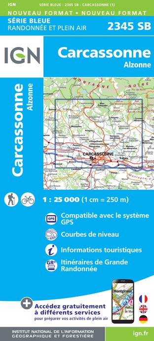
2345SB - CARCASSONNE ALZONNE
Editor : IGN
Collection : TOP 25 ET SÉRIE BLEUE
Scale : 1:25 000
13.90€
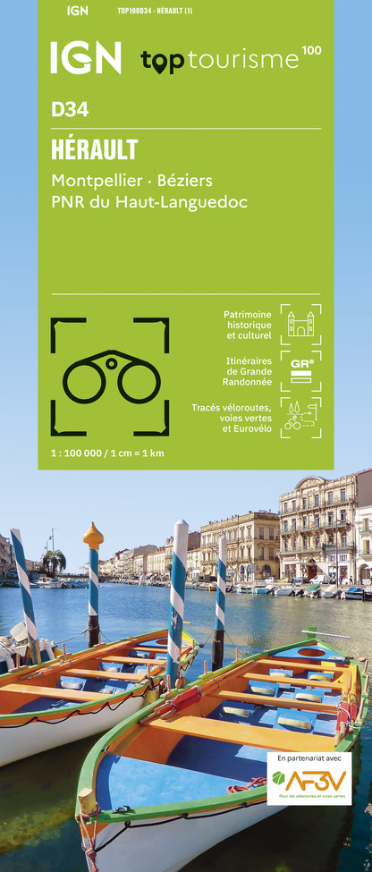
TOP100D34 - HÉRAULT MONTPELLIER BÉZIERS PNR DU HAUT-LANGUEDOC
Editor : IGN
Collection : TOP 100
Scale : 1:100 000
8.40€

TOP100D66 - PYRÉNÉES-ORIENTALES PERPIGNAN PRADES CÉRET CÔTE VERMEILLE PNR DES PYRÉNÉES CATALANES
Editor : IGN
Collection : TOP 100
Scale : 1:100 000
8.40€

TOP100D11 - AUDE CARCASSONNE NARBONNE LIMOUX QUILLAN CANAL DU MIDI
Editor : IGN
Collection : TOP 100
Scale : 1:100 000
8.40€

89031 - LE CANAL DU MIDI
Editor : IGN
Collection : DECOUVERTE DES CHEMINS
Scale : 1:100 000
9.10€

D09-66 ARIÈGE PYRÉNÉES-ORIENTALES
Editor : IGN
Collection : CARTES DÉPARTEMENTALES IGN
Scale : 1:150 000
5.90€

D11-81 AUDE TARN
Editor : IGN
Collection : CARTES DÉPARTEMENTALES IGN
Scale : 1:150 000
5.90€

EUROPE
Editor : IGN
Collection : DÉCOUVERTE DES PAYS DU MONDE IGN
Scale : 1:2 500 000
7.00€
What to visit in Rustiques
See more suggestionsVisit the iconic landmarks of Rustiques.
See more suggestions


Where to eat in Rustiques
See more suggestionsRestaurants in Rustiques will captivate you.
See more suggestions


Where to sleep in Rustiques
See more suggestionsDiscover the best lodging options in Rustiques.
See more suggestions


")


