Tours
Activities
Places of interest
Where to eat
Where to sleep
Exploring Brianconnet, Alpes-Maritimes, Provence-Alpes-Côte d'Azur
Are you in charge of the destination?Nestled in a lush landscape, Brianconnet, Alpes-Maritimes, Provence-Alpes-Côte d'Azur, offers visitors an invitation to authenticity and tranquility. Visitors are charmed by its exceptional natural heritage and breathtaking landscapes that stretch out endlessly. Take a stroll along its picturesque paths like the hiking trail of Mont Saint-Honorat, offering a stunning panoramic view of the mountain...See more


")


What to do in Brianconnet
See more suggestionsExplore the many bookable activities in Brianconnet and make the most of every moment.
See more suggestions
")
")
")
")
")
")


IGN cards

3542ET - HAUT ESTÉRON PRÉALPES DE GRASSE PNR DU VERDON
Editor : IGN
Collection : TOP 25 ET SÉRIE BLEUE
Scale : 1:25 000
13.90€
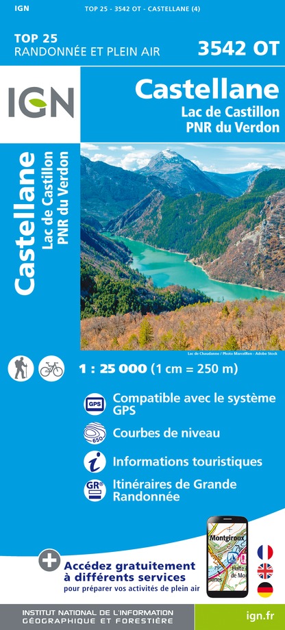
3542OT - CASTELLANE LAC DE CASTILLON PNR DU VERDON
Editor : IGN
Collection : TOP 25 ET SÉRIE BLEUE
Scale : 1:25 000
13.90€

VEL06 - LE VAR A VELO
Editor : IGN
Collection : DECOUVERTE A VELO
Scale : 1:110 000
9.10€

TOP100D04 - ALPES-DE-HAUTE-PROVENCE DIGNE MANOSQUE PNR DU VERDON LAC DE SERRE-PONÇON
Editor : IGN
Collection : TOP 100
Scale : 1:100 000
8.40€

TOP100D06 - ALPES-MARITIMES NICE CÔTE D'AZUR PARC NATIONAL DU MERCANTOUR PNR DES PRÉALPES D'AZUR
Editor : IGN
Collection : TOP 100
Scale : 1:100 000
8.40€

D83 VAR
Editor : IGN
Collection : CARTES DÉPARTEMENTALES IGN
Scale : 1:150 000
5.90€

D04-05 ALPES-DE-HAUTE-PROVENCE HAUTES-ALPES
Editor : IGN
Collection : CARTES DÉPARTEMENTALES IGN
Scale : 1:150 000
5.90€

D06 ALPES-MARITIMES
Editor : IGN
Collection : CARTES DÉPARTEMENTALES IGN
Scale : 1:150 000
5.90€

NR14 AUVERGNE-RHÔNE-ALPES RECTO/VERSO MASSIF CENTRAL
Editor : IGN
Collection : CARTES RÉGIONALES IGN
Scale : 1:250 000
6.80€

NR16 PROVENCE-ALPES-CÔTE D'AZUR
Editor : IGN
Collection : CARTES RÉGIONALES IGN
Scale : 1:250 000
6.80€

NR15 AUVERGNE-RHÔNE-ALPES RECTO/VERSO MASSIF ALPIN
Editor : IGN
Collection : CARTES RÉGIONALES IGN
Scale : 1:250 000
6.80€

EUROPE
Editor : IGN
Collection : DÉCOUVERTE DES PAYS DU MONDE IGN
Scale : 1:2 500 000
7.00€
What to visit in Brianconnet
See more suggestionsVisit the iconic landmarks of Brianconnet.
See more suggestions


Where to eat in Brianconnet
See more suggestionsRestaurants in Brianconnet offer a friendly atmosphere.
See more suggestions


Where to sleep in Brianconnet
See more suggestionsDiscover the best lodging options in Brianconnet.
See more suggestions


")
")