Tours
Activities
Places of interest
Where to eat
Where to sleep
Discover Le brignon, Haute-Loire: a gem in Auvergne
Are you in charge of the destination?Nestled in the heart of the Auvergne region, Le Brignon in Haute-Loire is a peaceful haven for nature and culture lovers. Upon arrival, you'll be captivated by breathtaking landscapes, thanks to hiking trails that lead you through the verdant hills and serene valleys of this picturesque area. Among the most popular trails, explore the Way of St. James, which crosses the region and offers stunning ...See more
Walking around Le brignon
See more suggestionsHiking trails in the Le brignon area.
See more suggestions


")

 de découverte du moulin de Vignal")
What to do in Le brignon
See more suggestionsEnjoy unforgettable moments in Le brignon by booking activities for everyone.
See more suggestions


IGN cards

2736SB - SOLIGNAC-SUR-LOIRE CAYRES MONISTROL-D'ALLIER
Editor : IGN
Collection : TOP 25 ET SÉRIE BLEUE
Scale : 1:25 000
13.90€

TOP100D48 - LOZÈRE MENDE FLORAC-TROIS-RIVIÈRES PARC NATIONAL DES CÉVENNES GORGES DU TARN ET DE LA JONTE
Editor : IGN
Collection : TOP 100
Scale : 1:100 000
8.40€

TOP100D07 - ARDÈCHE PRIVAS AUBENAS VALLON-PONT-D'ARC PNR DES MONTS D'ARDÈCHE
Editor : IGN
Collection : TOP 100
Scale : 1:100 000
8.40€

TOP100D43 - HAUTE-LOIRE LE PUY-EN-VELAY BRIOUDE GORGES DE L'ALLIER
Editor : IGN
Collection : TOP 100
Scale : 1:100 000
8.40€
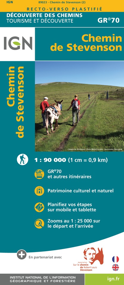
89023 - CHEMIN DE STEVENSON - GR70®
Editor : IGN
Collection : DECOUVERTE DES CHEMINS
Scale : 1:90 000
9.10€

D07-26 ARDÈCHE DRÔME
Editor : IGN
Collection : CARTES DÉPARTEMENTALES IGN
Scale : 1:150 000
5.90€

D12-48 AVEYRON LOZÈRE
Editor : IGN
Collection : CARTES DÉPARTEMENTALES IGN
Scale : 1:150 000
5.90€

D42-43 LOIRE HAUTE-LOIRE
Editor : IGN
Collection : CARTES DÉPARTEMENTALES IGN
Scale : 1:150 000
5.90€

EUROPE
Editor : IGN
Collection : DÉCOUVERTE DES PAYS DU MONDE IGN
Scale : 1:2 500 000
7.00€
What to visit in Le brignon
See more suggestionsVisit the museums and galleries of Le brignon.
See more suggestions


Where to eat in Le brignon
See more suggestionsEstablishments in Le brignon offer dishes for all tastes.
See more suggestions


Where to sleep in Le brignon
See more suggestionsFind a comfortable stay in Le brignon.
See more suggestions


