Tours
Activities
Places of interest
Where to eat
Where to sleep
Les Roulottes de la Dordogne: Explore Champagnac
Are you the owner?Welcome to Les Roulottes de la Dordogne, your starting point for exploring the beautiful region of Champagnac, located in Cantal, Auvergne. This charming area offers a variety of activities and sites to discover, perfect for enriching your stay.
Begin your adventure with a visit to Château d'Anjony, a medieval fortress that will immerse you in the fascinating history of the region. Continue wit...See more
Begin your adventure with a visit to Château d'Anjony, a medieval fortress that will immerse you in the fascinating history of the region. Continue wit...See more
Walking around LES ROULOTTES DE LA DORDOGNE
See more suggestionsHiking trails in the LES ROULOTTES DE LA DORDOGNE area.
See more suggestions


What to do in LES ROULOTTES DE LA DORDOGNE
See more suggestionsExperience unique moments with the bookable activities in LES ROULOTTES DE LA DORDOGNE.
See more suggestions


IGN cards
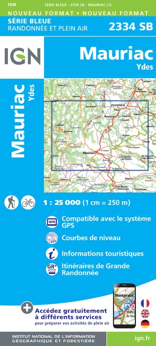
2334SB - MAURIAC YDES
Editor : IGN
Collection : TOP 25 ET SÉRIE BLEUE
Scale : 1:25 000
13.90€
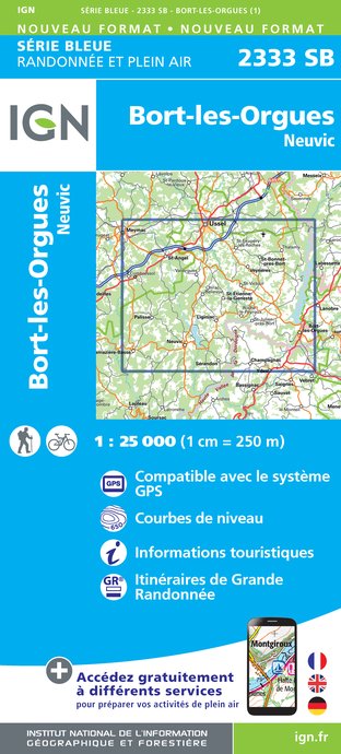
2333SB - BORT-LES-ORGUES NEUVIC
Editor : IGN
Collection : TOP 25 ET SÉRIE BLEUE
Scale : 1:25 000
13.90€
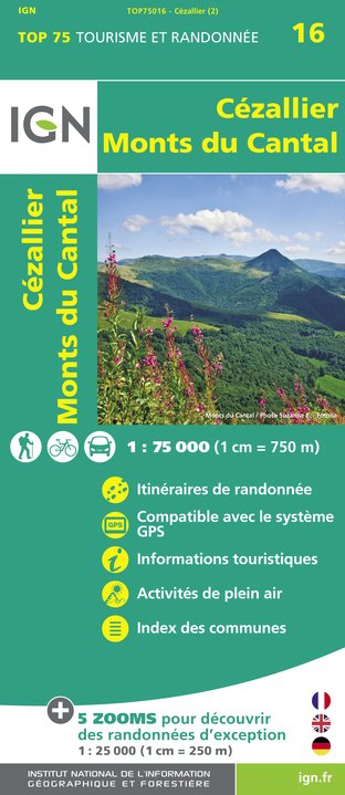
TOP75016 - CEZALLIER MONTS DU CANTAL
Editor : IGN
Collection : TOP 75
Scale : 1:75 000
9.80€

155 AURILLAC SAINT-FLOUR PNR DES VOLCANS D'AUVERGNE
Editor : IGN
Collection : TOP 100
Scale : 1:100 000
8.40€

148 CLERMONT FERRAND SALERS PNR DES VOLCANS D'AUVERGNE
Editor : IGN
Collection : TOP 100
Scale : 1:100 000
8.40€

D15-19 CANTAL CORREZE
Editor : IGN
Collection : CARTES DÉPARTEMENTALES IGN
Scale : 1:150 000
5.90€

D23-87 CREUSE HAUTE-VIENNE
Editor : IGN
Collection : CARTES DÉPARTEMENTALES IGN
Scale : 1:150 000
5.90€

D03-63 ALLIER PUY-DE-DÔME
Editor : IGN
Collection : CARTES DÉPARTEMENTALES IGN
Scale : 1:150 000
5.90€

EUROPE
Editor : IGN
Collection : DÉCOUVERTE DES PAYS DU MONDE IGN
Scale : 1:2 500 000
7.00€
What to visit in LES ROULOTTES DE LA DORDOGNE
See more suggestionsTake a boat tour around LES ROULOTTES DE LA DORDOGNE.
See more suggestions


Where to eat in LES ROULOTTES DE LA DORDOGNE
See more suggestionsExperience LES ROULOTTES DE LA DORDOGNE's gastronomy.
See more suggestions


Where to sleep in LES ROULOTTES DE LA DORDOGNE
See more suggestionsExplore lodging possibilities in LES ROULOTTES DE LA DORDOGNE.
See more suggestions


