Tours
Activities
Places of interest
Where to eat
Where to sleep
Unveil the charms of Saint-marcel, Savoie, Rhône-Alpes
Are you in charge of the destination?Welcome to Saint-marcel, set in the heart of Savoie within the stunning Rhône-Alpes region. Nature enthusiasts will enjoy scenic hikes, such as the trail to the Massif de la Lauzière, offering breathtaking vistas. History buffs can explore the must-see Église Saint-Marcel, with its unique architecture and rich cultural heritage. In winter, the nearby Tarentaise ski resorts are ideal for a day of f...See more
Walking around Saint-marcel
See more suggestionsDiscover the trails of Saint-marcel.
See more suggestions


")

")

What to do in Saint-marcel
See more suggestionsRelax and have fun with the available activities in Saint-marcel.
See more suggestions


IGN cards

3532OTR - MASSIF DU BEAUFORTIN RESISTANTE MOUTIERS LA PLAGNE
Editor : IGN
Collection : TOP 25 RÉSISTANTE
Scale : 1:25 000
17.20€
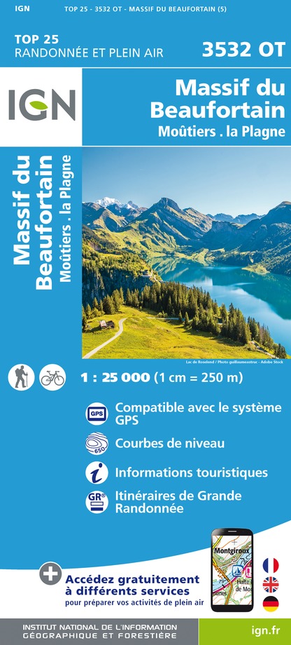
3532OT - MASSIF DU BEAUFORTIN MOUTIERS LA PLAGNE
Editor : IGN
Collection : TOP 25 ET SÉRIE BLEUE
Scale : 1:25 000
13.90€

TOP75003 - MASSIF DE LA VANOISE
Editor : IGN
Collection : TOP 75
Scale : 1:75 000
9.80€

TOP75004 - BEAUFORTAIN MASSIF DU MONT BLANC
Editor : IGN
Collection : TOP 75
Scale : 1:75 000
9.80€

TOP75032 - CHAINE DES ARAVIS - MASSIF DES BAUGES
Editor : IGN
Collection : TOP 75
Scale : 1:75 000
9.80€

TOP100D73 - SAVOIE CHAMBÉRY ALBERTVILLE PARC NATIONAL DE LA VANOISE PNR DU MASSIF DES BAUGES
Editor : IGN
Collection : TOP 100
Scale : 1:100 000
8.40€

202 JURA ALPES DU NORD
Editor : IGN
Collection : TOP 200
Scale : 1:200 000
6.80€

D38 ISÈRE
Editor : IGN
Collection : CARTES DÉPARTEMENTALES IGN
Scale : 1:150 000
5.90€

NR15 AUVERGNE-RHÔNE-ALPES RECTO/VERSO MASSIF ALPIN
Editor : IGN
Collection : CARTES RÉGIONALES IGN
Scale : 1:250 000
6.80€

NR14 AUVERGNE-RHÔNE-ALPES RECTO/VERSO MASSIF CENTRAL
Editor : IGN
Collection : CARTES RÉGIONALES IGN
Scale : 1:250 000
6.80€

EUROPE
Editor : IGN
Collection : DÉCOUVERTE DES PAYS DU MONDE IGN
Scale : 1:2 500 000
7.00€
What to visit in Saint-marcel
See more suggestionsWalk along the picturesque streets of Saint-marcel.
See more suggestions


Where to eat in Saint-marcel
See more suggestionsExplore the culinary traditions of Saint-marcel.
See more suggestions


Where to sleep in Saint-marcel
See more suggestionsChoose a comfortable accommodation in Saint-marcel.
See more suggestions


