Tours
Activities
Places of interest
Where to eat
Where to sleep
Discover Flayosc, Var, Provence-Alpes-Côte d'Azur
Are you in charge of the destination?Situated in the heart of Provence-Alpes-Côte d'Azur, Flayosc, Var, is a charming town full of history and natural beauty. Wander through its small, picturesque streets to find ancient houses, historical fountains, and majestic churches. Hiking enthusiasts can enjoy numerous nearby trails, offering breathtaking views over the surrounding hills. Local vineyards offer wine tastings that will delight ...See more
Walking around Flayosc
See more suggestionsExplore the hiking trails around Flayosc.
See more suggestions


")


What to do in Flayosc
See more suggestionsExplore the many bookable activities in Flayosc and make the most of every moment.
See more suggestions


IGN cards
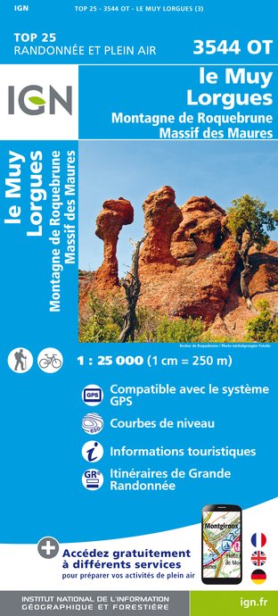
3544OT - LE MUY LORGUES MONTAGNE DE ROQUEBRUNE MASSIF DES MAURES
Editor : IGN
Collection : TOP 25 ET SÉRIE BLEUE
Scale : 1:25 000
13.90€
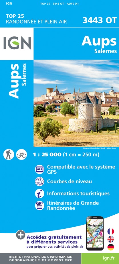
3443OT - AUPS SALERNES
Editor : IGN
Collection : TOP 25 ET SÉRIE BLEUE
Scale : 1:25 000
13.90€
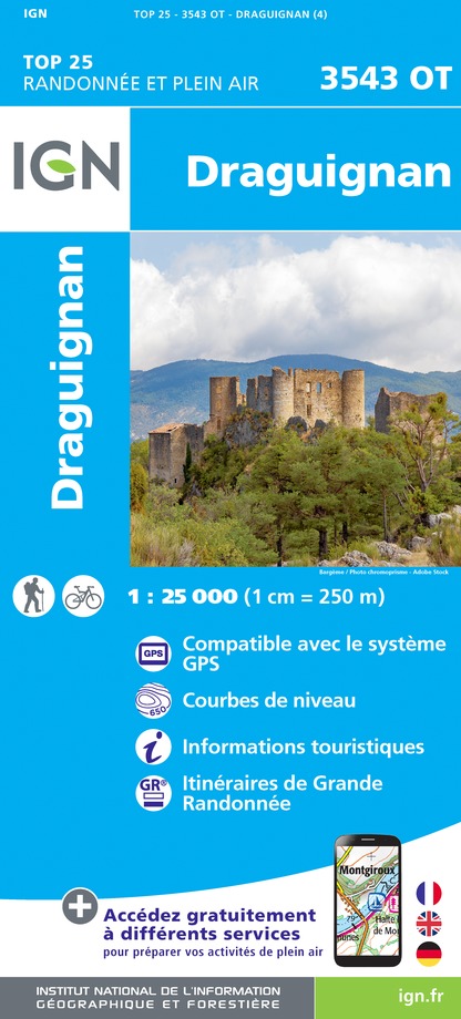
3543OT - DRAGUIGNAN
Editor : IGN
Collection : TOP 25 ET SÉRIE BLEUE
Scale : 1:25 000
13.90€

VEL06 - LE VAR A VELO
Editor : IGN
Collection : DECOUVERTE A VELO
Scale : 1:110 000
9.10€

TOP100D83 - VAR TOULON FRÉJUS MASSIFS DES MAURES ET DE L'ESTEREL PARC NATUREL RÉGIONAL DU VERDON
Editor : IGN
Collection : TOP 100
Scale : 1:100 000
8.40€

TOP100D06 - ALPES-MARITIMES NICE CÔTE D'AZUR PARC NATIONAL DU MERCANTOUR PNR DES PRÉALPES D'AZUR
Editor : IGN
Collection : TOP 100
Scale : 1:100 000
8.40€

D83 VAR
Editor : IGN
Collection : CARTES DÉPARTEMENTALES IGN
Scale : 1:150 000
5.90€

D06 ALPES-MARITIMES
Editor : IGN
Collection : CARTES DÉPARTEMENTALES IGN
Scale : 1:150 000
5.90€

NR16 PROVENCE-ALPES-CÔTE D'AZUR
Editor : IGN
Collection : CARTES RÉGIONALES IGN
Scale : 1:250 000
6.80€

EUROPE
Editor : IGN
Collection : DÉCOUVERTE DES PAYS DU MONDE IGN
Scale : 1:2 500 000
7.00€
What to visit in Flayosc
See more suggestionsDiscover the local markets of Flayosc.
See more suggestions


Where to eat in Flayosc
See more suggestionsThe restaurants of Flayosc await you.
See more suggestions


")


Where to sleep in Flayosc
See more suggestionsBook a quality accommodation in Flayosc.
See more suggestions


")
")

