Tours
Activities
Places of interest
Where to eat
Where to sleep
Explore Saint-laurent-du-pape with Camping La Garenne
Are you the owner?Nestled between mountains and rivers, Saint-laurent-du-pape, located in the stunning Ardèche department of the Rhône-Alpes region, is an ideal destination for nature lovers and adventurers. From Camping La Garenne, explore natural and cultural treasures that will delight both young and old.
Beyond its picturesque landscapes, the Ardèche is renowned for its numerous outdoor activities. Embark on a...See more
Beyond its picturesque landscapes, the Ardèche is renowned for its numerous outdoor activities. Embark on a...See more
Walking around CAMPING LA GARENNE
See more suggestionsHikes for all levels in CAMPING LA GARENNE.
See more suggestions


What to do in CAMPING LA GARENNE
See more suggestionsActivities for all tastes await you in CAMPING LA GARENNE, book them today.
See more suggestions


")


IGN cards

3036OT - VALENCE CORNICHE DE L'EYRIEUX
Editor : IGN
Collection : TOP 25 ET SÉRIE BLEUE
Scale : 1:25 000
13.90€

3037SB - CREST LA VOULTE-SUR-RHÔNE
Editor : IGN
Collection : TOP 25 ET SÉRIE BLEUE
Scale : 1:25 000
13.90€
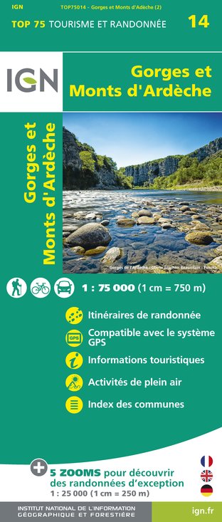
TOP75014 - GORGES ET MONTS D'ARDÈCHE
Editor : IGN
Collection : TOP 75
Scale : 1:75 000
9.80€

VEL01 - LA DRÔME A VELO
Editor : IGN
Collection : DECOUVERTE A VELO
Scale : 1:105 000
9.10€

TOP100D26 - DRÔME VALENCE MONTÉLIMAR DIE PNR DES BARONNIES PROVENÇALES PNR DU VERCORS
Editor : IGN
Collection : TOP 100
Scale : 1:100 000
8.40€

TOP100D07 - ARDÈCHE PRIVAS AUBENAS VALLON-PONT-D'ARC PNR DES MONTS D'ARDÈCHE
Editor : IGN
Collection : TOP 100
Scale : 1:100 000
8.40€

202 JURA ALPES DU NORD
Editor : IGN
Collection : TOP 200
Scale : 1:200 000
6.80€

D38 ISÈRE
Editor : IGN
Collection : CARTES DÉPARTEMENTALES IGN
Scale : 1:150 000
5.90€

D07-26 ARDÈCHE DRÔME
Editor : IGN
Collection : CARTES DÉPARTEMENTALES IGN
Scale : 1:150 000
5.90€

D42-43 LOIRE HAUTE-LOIRE
Editor : IGN
Collection : CARTES DÉPARTEMENTALES IGN
Scale : 1:150 000
5.90€

NR16 PROVENCE-ALPES-CÔTE D'AZUR
Editor : IGN
Collection : CARTES RÉGIONALES IGN
Scale : 1:250 000
6.80€

EUROPE
Editor : IGN
Collection : DÉCOUVERTE DES PAYS DU MONDE IGN
Scale : 1:2 500 000
7.00€
What to visit in CAMPING LA GARENNE
See more suggestionsDiscover the local markets of CAMPING LA GARENNE.
See more suggestions


Where to eat in CAMPING LA GARENNE
See more suggestionsEnjoy delicious dishes at CAMPING LA GARENNE's restaurants.
See more suggestions


")


Where to sleep in CAMPING LA GARENNE
See more suggestionsChoose from a variety of lodgings in CAMPING LA GARENNE.
See more suggestions


